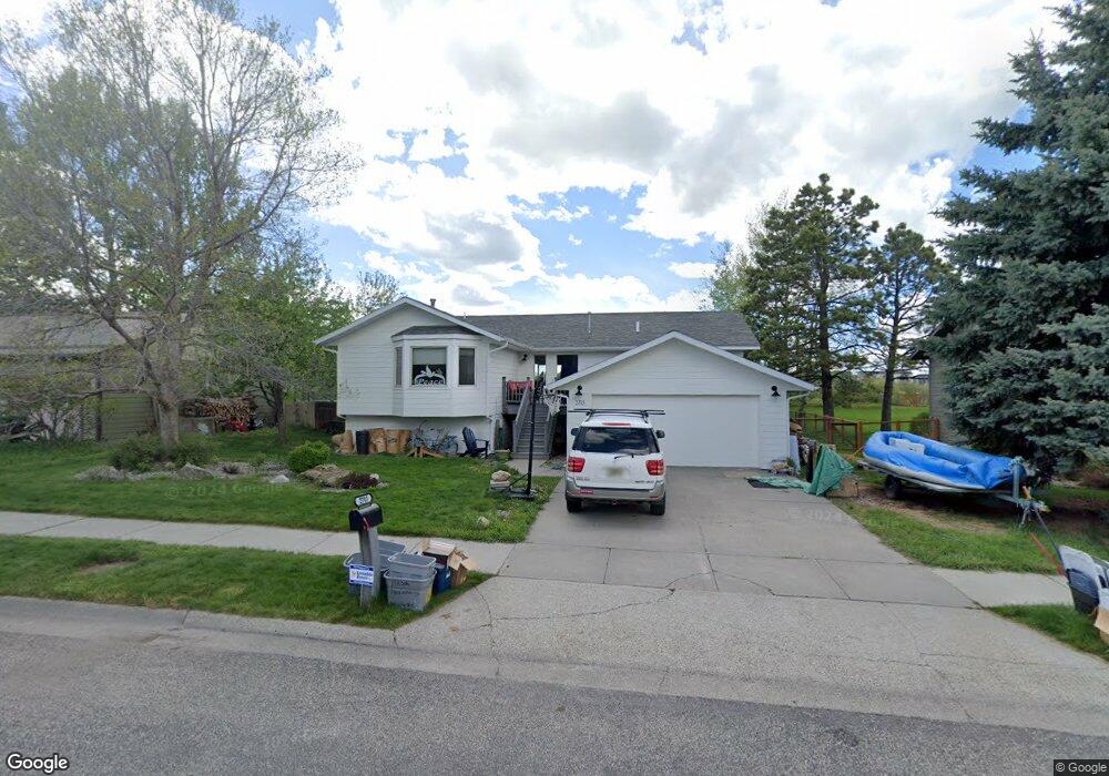
2703 Westridge Dr Bozeman, MT 59715
South Bozeman NeighborhoodEstimated Value: $731,000 - $800,000
4
Beds
3
Baths
1,378
Sq Ft
$558/Sq Ft
Est. Value
About This Home
This home is located at 2703 Westridge Dr, Bozeman, MT 59715 and is currently estimated at $768,704, approximately $557 per square foot. 2703 Westridge Dr is a home located in Gallatin County with nearby schools including Morning Star School, Sacajawea Middle School, and Bozeman High School.
Ownership History
Date
Name
Owned For
Owner Type
Purchase Details
Closed on
Aug 22, 2016
Sold by
Thompson Jack S and Thompson Monica R
Bought by
Mason Christian and Mason Emily
Current Estimated Value
Home Financials for this Owner
Home Financials are based on the most recent Mortgage that was taken out on this home.
Original Mortgage
$280,000
Outstanding Balance
$223,407
Interest Rate
3.48%
Mortgage Type
New Conventional
Estimated Equity
$545,297
Create a Home Valuation Report for This Property
The Home Valuation Report is an in-depth analysis detailing your home's value as well as a comparison with similar homes in the area
Home Values in the Area
Average Home Value in this Area
Purchase History
| Date | Buyer | Sale Price | Title Company |
|---|---|---|---|
| Mason Christian | -- | American Land Title Company |
Source: Public Records
Mortgage History
| Date | Status | Borrower | Loan Amount |
|---|---|---|---|
| Open | Mason Christian | $280,000 |
Source: Public Records
Tax History
| Year | Tax Paid | Tax Assessment Tax Assessment Total Assessment is a certain percentage of the fair market value that is determined by local assessors to be the total taxable value of land and additions on the property. | Land | Improvement |
|---|---|---|---|---|
| 2025 | $3,288 | $711,400 | $0 | $0 |
| 2024 | $4,611 | $692,700 | $0 | $0 |
| 2023 | $4,461 | $692,700 | $0 | $0 |
| 2022 | $3,574 | $466,100 | $0 | $0 |
| 2021 | $3,944 | $466,100 | $0 | $0 |
| 2020 | $3,434 | $401,900 | $0 | $0 |
| 2019 | $3,512 | $401,900 | $0 | $0 |
| 2018 | $3,211 | $340,500 | $0 | $0 |
| 2017 | $3,174 | $340,500 | $0 | $0 |
| 2016 | $2,250 | $238,200 | $0 | $0 |
| 2015 | $2,252 | $238,200 | $0 | $0 |
| 2014 | $2,259 | $140,662 | $0 | $0 |
Source: Public Records
Map
Nearby Homes
- 3025 Macnab St
- 915 Arnold St
- 3005 Westridge Dr
- 2600 S 11th Ave
- 3021 Teslow Dr
- 511 Fieldstone Dr
- 407 Fieldstone Dr
- 2503 Spring Creek Dr
- 3018 Colter Ave
- 3166 Gardenbrook Ln
- 323 Lexington Dr
- TBD Spring Creek Dr
- 3281 Gardenbrook Ln
- 1521 Cambridge Dr
- 1301 Cambridge Dr
- 1605 Cambridge Dr
- 1517 Cambridge Dr
- 1525 Cambridge Dr
- 1617 Cambridge Dr
- 1621 Cambridge Dr
- 2705 Westridge Dr
- 2611 Westridge Dr
- 2711 Westridge Dr
- 2605 Westridge Dr
- 2612 Westridge Dr
- 703 W Arnold St
- 2601 Westridge Dr
- 2604 Westridge Dr
- 725 W Arnold St
- 611 W Arnold St
- 2521 Landoe Ave
- 607 W Arnold St
- 2515 Westridge Dr
- 2525 Landoe Ave
- 2516 Westridge Dr
- 735 W Arnold St
- 2517 Landoe Ave
- 601 W Arnold St
- 704 W Arnold St
- 815 W Arnold St
Your Personal Tour Guide
Ask me questions while you tour the home.