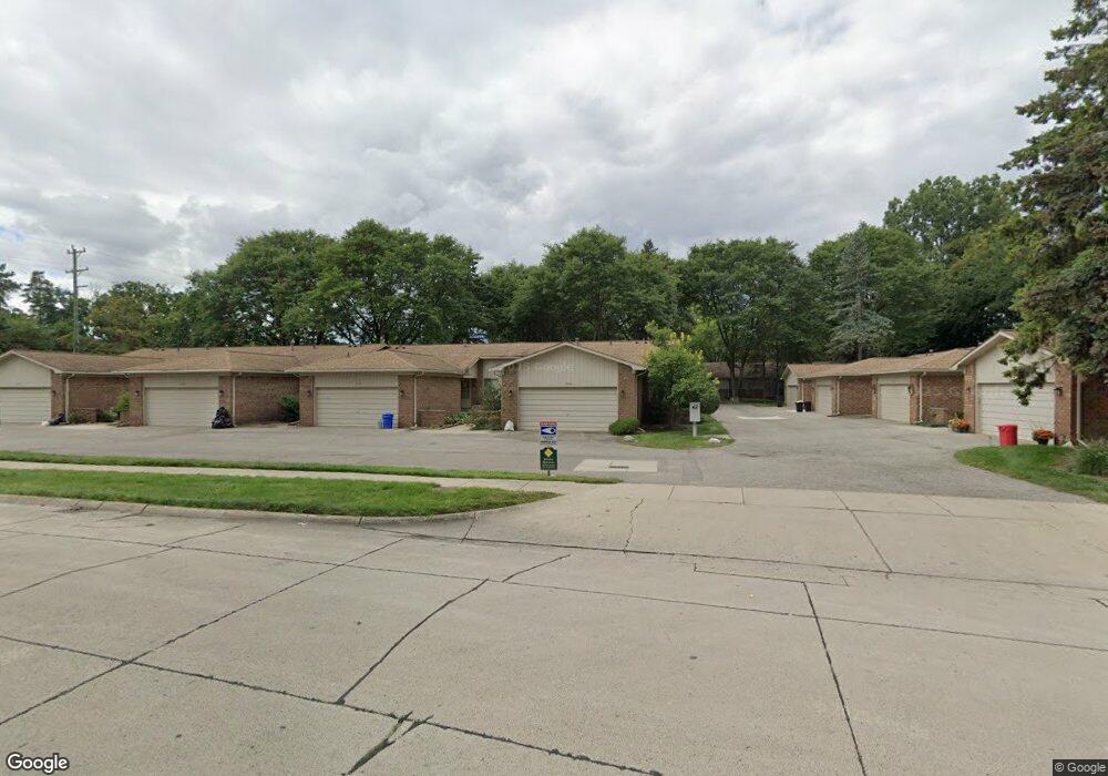
27035 Lincolnshire Dr Unit B5 Southfield, MI 48034
Estimated Value: $174,684 - $229,000
2
Beds
2
Baths
1,298
Sq Ft
$160/Sq Ft
Est. Value
About This Home
This home is located at 27035 Lincolnshire Dr Unit B5, Southfield, MI 48034 and is currently estimated at $207,171, approximately $159 per square foot. 27035 Lincolnshire Dr Unit B5 is a home located in Oakland County with nearby schools including Alice M. Birney K-8 School, Adlai Stevenson Elementary School, and Faxon Academy.
Ownership History
Date
Name
Owned For
Owner Type
Purchase Details
Closed on
Nov 30, 2007
Sold by
Miller Latoya
Bought by
Crawford Brenda
Current Estimated Value
Home Financials for this Owner
Home Financials are based on the most recent Mortgage that was taken out on this home.
Original Mortgage
$152,950
Outstanding Balance
$96,811
Interest Rate
6.3%
Mortgage Type
Purchase Money Mortgage
Estimated Equity
$110,360
Purchase Details
Closed on
Nov 1, 2005
Sold by
Miller Latoya
Bought by
Crawford Brenda
Home Financials for this Owner
Home Financials are based on the most recent Mortgage that was taken out on this home.
Original Mortgage
$157,000
Interest Rate
4%
Mortgage Type
Seller Take Back
Purchase Details
Closed on
Dec 31, 2002
Sold by
Greenbaum Belle and Lusky Harriett
Bought by
Miller Latoya
Create a Home Valuation Report for This Property
The Home Valuation Report is an in-depth analysis detailing your home's value as well as a comparison with similar homes in the area
Home Values in the Area
Average Home Value in this Area
Purchase History
| Date | Buyer | Sale Price | Title Company |
|---|---|---|---|
| Crawford Brenda | $161,000 | None Available | |
| Crawford Brenda | $161,000 | Philip F Greco Title Company | |
| Miller Latoya | $155,000 | Multiple |
Source: Public Records
Mortgage History
| Date | Status | Borrower | Loan Amount |
|---|---|---|---|
| Open | Crawford Brenda | $152,950 | |
| Previous Owner | Crawford Brenda | $157,000 |
Source: Public Records
Tax History Compared to Growth
Tax History
| Year | Tax Paid | Tax Assessment Tax Assessment Total Assessment is a certain percentage of the fair market value that is determined by local assessors to be the total taxable value of land and additions on the property. | Land | Improvement |
|---|---|---|---|---|
| 2022 | $2,223 | $71,340 | $14,700 | $56,640 |
| 2021 | $2,360 | $66,270 | $14,700 | $51,570 |
| 2020 | $2,041 | $64,700 | $11,950 | $52,750 |
| 2018 | $2,423 | $54,850 | $11,950 | $42,900 |
| 2015 | -- | $40,230 | $0 | $0 |
| 2014 | -- | $35,930 | $0 | $0 |
| 2011 | -- | $39,320 | $0 | $0 |
Source: Public Records
Map
Nearby Homes
- 22465 Kenwyck Dr
- 21901 Concord St
- 21731 Concord St
- 27249 Nantucket Dr
- 000 Pontiac Trail
- 28355 Tavistock Trail
- 21361 Andover Rd
- 28330 Lahser Rd
- 23575 Riverview Dr
- 28401 River Crest Dr
- 21330 Winchester St
- 21440 Constitution St
- 22300 Ivanhoe Ln
- 25555 Lahser Rd Unit 15
- 24220 Simmons Ave
- 25275 Briarbank Ave
- 28740 Tavistock Trail
- 22679 Bell Brook St
- 20780 Wayland St
- 25611 Mulroy Dr
- 27019 Lincolnshire Dr
- 27027 Lincolnshire Dr Unit B6
- 27067 Lincolnshire Dr Unit A4
- 27059 Lincolnshire Dr Unit 3
- 27051 Lincolnshire Dr Unit A2
- 22538 W 11 Mile Rd Unit 15
- 27027 Lincolnshire Dr Unit 6
- 22546 W 11 Mile Rd
- 22538 W 11 Mile Rd
- 22530 W 11 Mile Rd
- 22514 W 11 Mile Rd Unit C12
- 22506 W 11 Mile Rd
- 22498 W 11 Mile Rd
- 22522 W 11 Mile Rd
- 22550 W Eleven Mile Rd Unit 6
- 22550 W Eleven Mile Rd
- 22490 W 11 Mile Rd Unit C9
- 22490 W 11 Mile Rd Unit 9
- 27011 Lincolnshire Dr Unit B8
- 27043 Lincolnshire Dr Unit A1