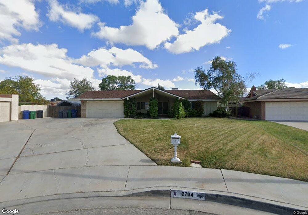
2704 Safe Cir Lancaster, CA 93536
West Lancaster NeighborhoodEstimated Value: $505,000 - $557,000
About This Home
This home is located at 2704 Safe Cir, Lancaster, CA 93536 and is currently estimated at $524,614, approximately $278 per square foot. 2704 Safe Cir is a home located in Los Angeles County with nearby schools including Sunnydale Elementary School, Amargosa Creek Middle School, and Lancaster High School.
Ownership History
We collect this data history from publicly available records. To have your information removed, we recommend requesting removal directly through your county’s website.
Purchase Details
Home Financials for this Owner
Home Financials are based on the most recent Mortgage that was taken out on this home.Home Values in the Area
Average Home Value in this Area
Purchase History
We collect this data history from publicly available records. To have your information removed, we recommend requesting removal directly through your county’s website.
| Date | Buyer | Sale Price | Title Company |
|---|---|---|---|
| $171,000 | Lawyers Title Company |
Mortgage History
We collect this data history from publicly available records. To have your information removed, we recommend requesting removal directly through your county’s website.
| Date | Status | Borrower | Loan Amount |
|---|---|---|---|
| Open | $200,000 | ||
| Closed | $100,000 | ||
| Previous Owner | $110,000 | ||
| Previous Owner | $40,542 |
Tax History
We collect this data history from publicly available records. To have your information removed, we recommend requesting removal directly through your county’s website.
| Year | Tax Paid | Tax Assessment Tax Assessment Total Assessment is a certain percentage of the fair market value that is determined by local assessors to be the total taxable value of land and additions on the property. | Land | Improvement |
|---|---|---|---|---|
| 2025 | $4,677 | $257,642 | $51,519 | $206,123 |
| 2024 | $4,449 | $252,591 | $50,509 | $202,082 |
| 2023 | $4,356 | $247,639 | $49,519 | $198,120 |
| 2022 | $4,145 | $242,785 | $48,549 | $194,236 |
| 2021 | $3,744 | $238,026 | $47,598 | $190,428 |
| 2019 | $3,636 | $230,968 | $46,187 | $184,781 |
| 2018 | $3,573 | $226,440 | $45,282 | $181,158 |
| 2016 | $3,380 | $217,649 | $43,525 | $174,124 |
| 2015 | $3,337 | $214,381 | $42,872 | $171,509 |
| 2014 | $3,310 | $210,000 | $42,000 | $168,000 |
Map
- 44042 27th St W
- 44050 27th St W
- 44133 28th St W
- 2827 Perfect Place
- 2653 End Ct
- 44028 Halcom Ave
- 43946 Galion Ave
- 43856 Windsor Place
- 44136 Shad St
- 44038 Fenner Ave
- 43916 Galion Ave
- 43944 Halcom Ave
- 2543 Lawrence Ave
- 2715 W Avenue j12
- 2715 W Avenue J 12
- 44322 Fenner Ave
- 3137 W Avenue j6
- 2825 Legends Way
- 44333 Shad St
- 44001 Ruthron Ave
- 2701 Safe Cir
- 2707 Safe Cir
- 44023 27th St W
- 2700 Safe Cir
- 44046 28th St W
- 44031 27th St W
- 44017 27th St W
- 44039 27th St W
- 44009 27th St W
- 44054 28th St W
- 2710 Safe Cir
- 44047 27th St W
- 44039 28th St W
- 44047 28th St W
- 44001 27th St W
- 44031 28th St W
- 44020 27th St W
- 44028 27th St W
- 2715 W Avenue j8
- 44100 28th St W
Ask me questions while you tour the home.