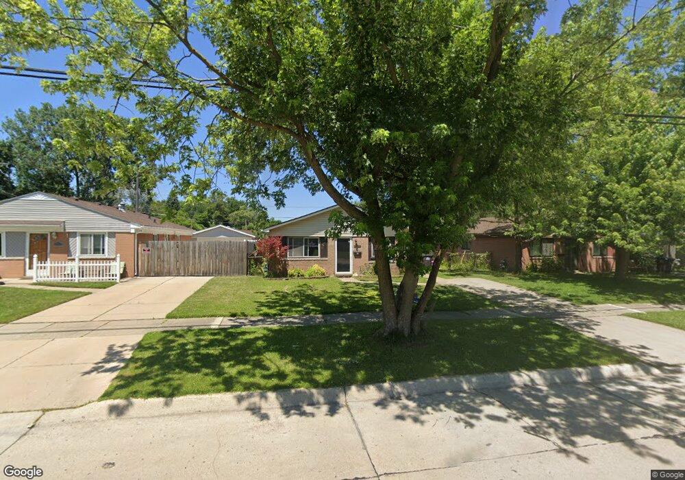
27042 Joan St Taylor, MI 48180
Estimated Value: $136,000 - $156,000
Studio
--
Bath
1,020
Sq Ft
$141/Sq Ft
Est. Value
About This Home
This home is located at 27042 Joan St, Taylor, MI 48180 and is currently estimated at $144,115, approximately $141 per square foot. 27042 Joan St is a home located in Wayne County with nearby schools including Holland Elementary School, Hoover Middle School, and Taylor High School.
Ownership History
Date
Name
Owned For
Owner Type
Purchase Details
Closed on
May 13, 2022
Sold by
Lee Smith Donnie
Bought by
Metro Realty Holdings Llc
Current Estimated Value
Purchase Details
Closed on
Aug 22, 2005
Sold by
Sammons Justin
Bought by
Jamison Sandra Ann
Purchase Details
Closed on
Jul 31, 2003
Sold by
Baker Jonathan
Bought by
Provident Consumer Financial Services
Purchase Details
Closed on
Jul 12, 2000
Sold by
Tome Barbara
Bought by
Tome Benito
Create a Home Valuation Report for This Property
The Home Valuation Report is an in-depth analysis detailing your home's value as well as a comparison with similar homes in the area
Home Values in the Area
Average Home Value in this Area
Purchase History
| Date | Buyer | Sale Price | Title Company |
|---|---|---|---|
| Metro Realty Holdings Llc | $54,000 | -- | |
| Jamison Sandra Ann | $102,200 | Multiple | |
| Provident Consumer Financial Services | $60,717 | -- | |
| Tome Benito | -- | -- |
Source: Public Records
Tax History
| Year | Tax Paid | Tax Assessment Tax Assessment Total Assessment is a certain percentage of the fair market value that is determined by local assessors to be the total taxable value of land and additions on the property. | Land | Improvement |
|---|---|---|---|---|
| 2025 | $3,686 | $66,900 | $0 | $0 |
| 2024 | $3,580 | $59,800 | $0 | $0 |
| 2023 | $4,107 | $55,600 | $0 | $0 |
| 2022 | $1,246 | $47,000 | $0 | $0 |
| 2021 | $1,691 | $39,200 | $0 | $0 |
| 2020 | $1,581 | $33,400 | $0 | $0 |
| 2019 | $204,818 | $37,100 | $0 | $0 |
| 2018 | $1,070 | $27,600 | $0 | $0 |
| 2017 | $2,967 | $28,100 | $0 | $0 |
| 2016 | $2,805 | $27,500 | $0 | $0 |
| 2015 | $2,418 | $25,300 | $0 | $0 |
| 2013 | $2,400 | $25,000 | $0 | $0 |
| 2012 | $1,549 | $24,200 | $7,600 | $16,600 |
Source: Public Records
Map
Nearby Homes
- 27032 Joan St
- 27059 Jeannette Ct
- 27029 Michelle Ct
- 6198 Princess St
- 6144 Princess St
- 6155 Princess St
- 6237 Inkster Rd
- 5970 John Daly St
- 6330 Hampden St
- 26424 Beverly Rd
- 6310 Duncan St
- 26215 Beverly Rd
- 6041 Fellrath St
- 5132 S Inkster Rd
- 27620 Newcastle St
- 26532 Powers Ave
- 0 Ecorse Service Rd
- 4863 Glenis St
- 6363 Mcguire St
- 6005 Frederick St Unit 56
Your Personal Tour Guide
Ask me questions while you tour the home.