2705 Al Highway 9 Anniston, AL 36207
Estimated Value: $274,000 - $432,617
--
Bed
--
Bath
3,088
Sq Ft
$111/Sq Ft
Est. Value
About This Home
This home is located at 2705 Al Highway 9, Anniston, AL 36207 and is currently estimated at $343,872, approximately $111 per square foot. 2705 Al Highway 9 is a home located in Calhoun County with nearby schools including White Plains Elementary School, White Plains Middle School, and White Plains High School.
Ownership History
Date
Name
Owned For
Owner Type
Purchase Details
Closed on
Mar 12, 2018
Sold by
Smith Keith Patrick and Smith Lisa B
Bought by
Smith Keith Patrick and Smith Lisa B
Current Estimated Value
Purchase Details
Closed on
Aug 23, 2017
Bought by
Smith Keith and Smith Lisa
Home Financials for this Owner
Home Financials are based on the most recent Mortgage that was taken out on this home.
Original Mortgage
$280,000
Outstanding Balance
$233,196
Interest Rate
3.89%
Estimated Equity
$110,676
Create a Home Valuation Report for This Property
The Home Valuation Report is an in-depth analysis detailing your home's value as well as a comparison with similar homes in the area
Home Values in the Area
Average Home Value in this Area
Purchase History
| Date | Buyer | Sale Price | Title Company |
|---|---|---|---|
| Smith Keith Patrick | -- | None Available | |
| Smith Keith | -- | -- |
Source: Public Records
Mortgage History
| Date | Status | Borrower | Loan Amount |
|---|---|---|---|
| Open | Smith Keith | $280,000 | |
| Closed | Smith Keith | -- |
Source: Public Records
Tax History Compared to Growth
Tax History
| Year | Tax Paid | Tax Assessment Tax Assessment Total Assessment is a certain percentage of the fair market value that is determined by local assessors to be the total taxable value of land and additions on the property. | Land | Improvement |
|---|---|---|---|---|
| 2024 | $1,058 | $35,442 | $8,100 | $27,342 |
| 2023 | $1,182 | $35,200 | $8,100 | $27,100 |
| 2022 | $1,054 | $32,296 | $8,100 | $24,196 |
| 2021 | $912 | $31,328 | $11,050 | $20,278 |
| 2020 | $993 | $33,394 | $11,050 | $22,344 |
| 2019 | $876 | $29,876 | $11,100 | $18,776 |
| 2018 | $837 | $22,160 | $0 | $0 |
| 2017 | $246 | $19,440 | $0 | $0 |
| 2016 | $779 | $19,420 | $0 | $0 |
| 2013 | -- | $20,420 | $0 | $0 |
Source: Public Records
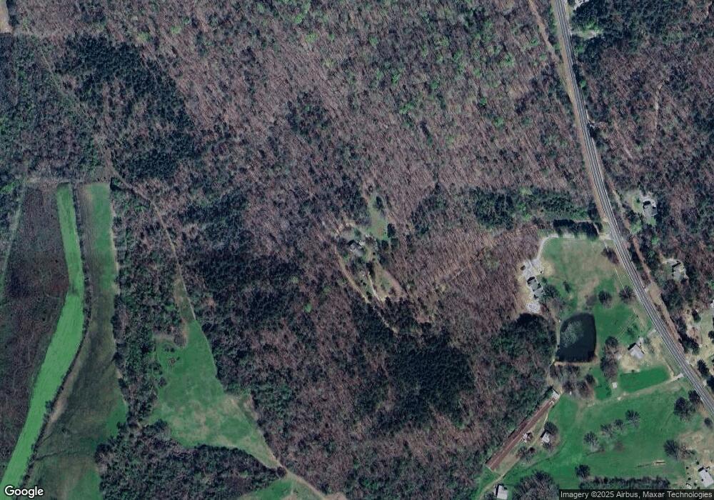
Map
Nearby Homes
- 2318 Al Highway 9
- 1129 Earl Roberts Rd
- 6922 Choccolloco Rd
- 390 Jamestown Way Unit 9
- 64 Avalon Ln
- 65 Casey Ct
- 451 Shoal Creek Rd
- 65 Camelot Ln
- 70 Camelot Ln
- 115 Carnoustie Place
- 833 Lillian Ln
- 39 Carnoustie Place
- 43 Faulkner Dr
- 247 Liberty Ln
- 166 Freedom Way
- 1001 Kingsway Dr
- 4803 Laurel Trace
- 4809 Laurel Trace Unit 7
- 136 Dewey Ln Unit 4
- 1250 Old Downing Mill Rd
- 2695 Al Highway 9
- 2695 Alabama 9
- 2595 Al Highway 9
- 2854 Al Highway 9
- 2690 Al Highway 9
- 2900 Al Highway 9
- 2900 Al Highway 9
- 2630 Al Highway 9
- 2574 Al Highway 9
- 3007 Al Highway 9
- 2540 Al Highway 9
- 2461 Al Highway 9
- 3015 Al Highway 9
- 2388 Al Highway 9
- 2378 Al Highway 9
- 2378 Hwy 9
- 2378 Al Highway 9
- 2358 Al Highway 9
- 3184 Al Highway 9
- 479 Cross Creek Rd