2705 Grouse Ln Rolling Meadows, IL 60008
Rolling Meadows AreaEstimated Value: $353,000 - $384,000
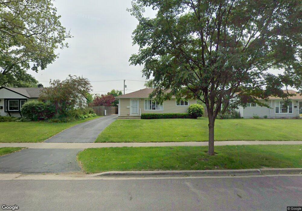
About This Home
This home is located at 2705 Grouse Ln, Rolling Meadows, IL 60008 and is currently estimated at $366,412, approximately $319 per square foot. 2705 Grouse Ln is a home located in Cook County with nearby schools including Kimball Hill Elementary School, Carl Sandburg Junior High School, and Rolling Meadows High School.
Ownership History
We collect this data history from publicly available records. To have your information removed, we recommend requesting removal directly through your county’s website.
Purchase Details
Purchase Details
Home Values in the Area
Average Home Value in this Area
Purchase History
We collect this data history from publicly available records. To have your information removed, we recommend requesting removal directly through your county’s website.
| Date | Buyer | Sale Price | Title Company |
|---|---|---|---|
| -- | Attorney | ||
| -- | -- |
Tax History
We collect this data history from publicly available records. To have your information removed, we recommend requesting removal directly through your county’s website.
| Year | Tax Paid | Tax Assessment Tax Assessment Total Assessment is a certain percentage of the fair market value that is determined by local assessors to be the total taxable value of land and additions on the property. | Land | Improvement |
|---|---|---|---|---|
| 2025 | $6,139 | $31,000 | $5,073 | $25,927 |
| 2024 | $6,139 | $26,000 | $4,292 | $21,708 |
| 2023 | $3,490 | $26,000 | $4,292 | $21,708 |
| 2022 | $3,490 | $26,000 | $4,292 | $21,708 |
| 2021 | $3,834 | $19,666 | $2,536 | $17,130 |
| 2020 | $3,488 | $19,666 | $2,536 | $17,130 |
| 2019 | $3,469 | $21,974 | $2,536 | $19,438 |
| 2018 | $3,868 | $22,143 | $2,341 | $19,802 |
| 2017 | $3,723 | $22,143 | $2,341 | $19,802 |
| 2016 | $4,299 | $22,143 | $2,341 | $19,802 |
| 2015 | $4,825 | $19,821 | $2,146 | $17,675 |
| 2014 | $4,597 | $19,821 | $2,146 | $17,675 |
| 2013 | $4,593 | $19,821 | $2,146 | $17,675 |
Map
- 2807 Starling Ln
- 3000 Starling Ln
- 3910 Eagle Ln Unit 16
- 3102 Swallow Ln
- 3712 Wren Ln
- 3731 Wren Ln
- 2539 Geranium Way
- 3316 Trillium Cir
- 3103 Martin Ln
- 3206 Wren Ln
- 2722 Lily Ln
- 2206 Hawk Ln
- 2950 Northampton Dr Unit B2
- 3920 Wren Ct
- 3600 Brookmeade Dr
- 305 Lexington Ln
- 2002 Hawk Ct
- 3265 Kirchoff Rd Unit 217
- 3265 Kirchoff Rd Unit 127
- 3265 Kirchoff Rd Unit 116
Ask me questions while you tour the home.