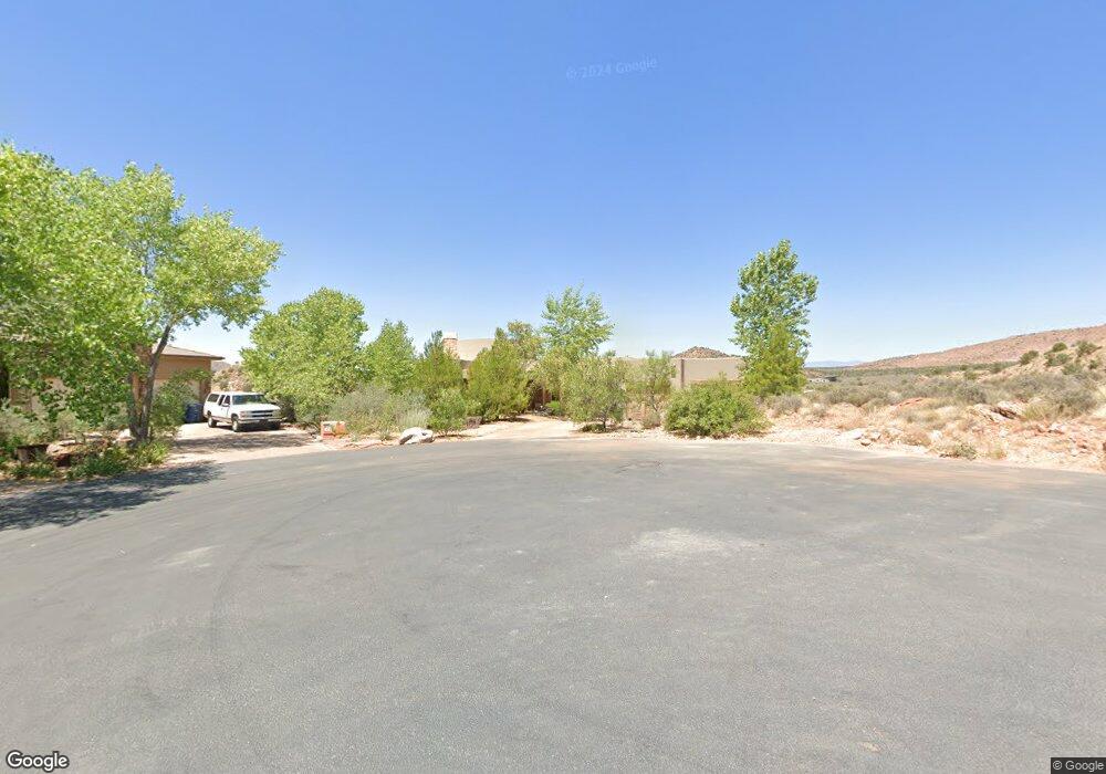
2705 Hopi Cir Unit 14 Springdale, UT 84767
Estimated Value: $1,155,875 - $1,836,000
4
Beds
3
Baths
2,731
Sq Ft
$558/Sq Ft
Est. Value
About This Home
This home is located at 2705 Hopi Cir Unit 14, Springdale, UT 84767 and is currently estimated at $1,524,219, approximately $558 per square foot. 2705 Hopi Cir Unit 14 is a home located in Washington County with nearby schools including Springdale School, Hurricane Middle School, and Hurricane High School.
Ownership History
Date
Name
Owned For
Owner Type
Purchase Details
Closed on
Feb 14, 2012
Sold by
Parken John D and Forsman Shawn L
Bought by
Kumpfer Karol L and Whiteside Henry O
Current Estimated Value
Purchase Details
Closed on
Aug 3, 2006
Sold by
Stewart Brian M and Mckinnie Randah
Bought by
Parken John D and Forsman Shawn L
Home Financials for this Owner
Home Financials are based on the most recent Mortgage that was taken out on this home.
Original Mortgage
$671,200
Interest Rate
7%
Mortgage Type
Adjustable Rate Mortgage/ARM
Create a Home Valuation Report for This Property
The Home Valuation Report is an in-depth analysis detailing your home's value as well as a comparison with similar homes in the area
Home Values in the Area
Average Home Value in this Area
Purchase History
| Date | Buyer | Sale Price | Title Company |
|---|---|---|---|
| Kumpfer Karol L | -- | First Amer St George Main | |
| Parken John D | -- | Guardian Title Co |
Source: Public Records
Mortgage History
| Date | Status | Borrower | Loan Amount |
|---|---|---|---|
| Previous Owner | Parken John D | $671,200 |
Source: Public Records
Tax History Compared to Growth
Tax History
| Year | Tax Paid | Tax Assessment Tax Assessment Total Assessment is a certain percentage of the fair market value that is determined by local assessors to be the total taxable value of land and additions on the property. | Land | Improvement |
|---|---|---|---|---|
| 2025 | $6,411 | $995,700 | $300,000 | $695,700 |
| 2023 | $6,770 | $995,900 | $240,000 | $755,900 |
| 2022 | $6,921 | $957,000 | $200,000 | $757,000 |
| 2021 | $6,201 | $701,900 | $170,000 | $531,900 |
| 2020 | $6,385 | $681,900 | $120,000 | $561,900 |
| 2019 | $5,624 | $651,500 | $120,000 | $531,500 |
| 2018 | $4,972 | $541,300 | $0 | $0 |
| 2017 | $4,755 | $507,000 | $0 | $0 |
| 2016 | $5,071 | $496,400 | $0 | $0 |
| 2015 | $5,127 | $481,700 | $0 | $0 |
| 2014 | $4,663 | $442,600 | $0 | $0 |
Source: Public Records
Map
Nearby Homes
- 2512 Anasazi Way
- 2907 Zuni Cir
- 2508 Anasazi Way
- 2508 Anasazi Way Unit Lot 6
- 2602 Canyon Point Dr
- 2525 Anasazi Way
- 0 Zuni Unit 22-234353
- 2613 Canyon Point Dr
- 2613 Canyon Point Dr Unit 3
- 3000 Navajo Way
- 2566 Anasazi Way Unit 44
- 2566 Anasazi Way
- 3008 Navajo Way
- 2495 Navajo Cir
- 2545 Anasazi Way Unit 74
- 2545 Anasazi Way
- 34 Valley View Dr
- 2548 Anasazi Way
- 2538 Anasazi Way
- 2538 Anasazi Way Unit 58
- 2705 Hopi Cir
- 2703 Hopi Cir
- 2707 Hopi Cir
- 0 Anasazi Plateau
- 2307 Hopi Cir
- 15 Hopi Cir
- Lot 15 Hopi Cir
- 2704 Hopi Cir
- 0 Hopi Cir
- 16 Hopi Cir Unit 16
- Lot 16 Anasazi Plateau
- 2702 Hopi Cir Unit Lot 8
- 2702 Hopi Cir
- 2499 Anasazi Way
- 2700 N Hopi Cir E
- 2700 N Hopi Cir E Unit 7
- 2503 Anasazi Way
- 2501 Anasazi Way
- 2503 Anasazi Way
- 2503 Anasazi Way Unit 9