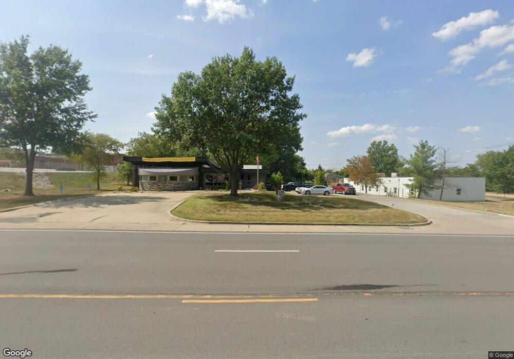
2705 NW State Route 7 Blue Springs, MO 64014
--
Bed
--
Bath
4,500
Sq Ft
0.91
Acres
About This Home
This home is located at 2705 NW State Route 7, Blue Springs, MO 64014. 2705 NW State Route 7 is a home located in Jackson County with nearby schools including James Lewis Elementary School, Brittany Hill Middle School, and Blue Springs High School.
Ownership History
Date
Name
Owned For
Owner Type
Purchase Details
Closed on
Oct 11, 2017
Sold by
G P H Family Limited Partnership
Bought by
Premier Listings Llc
Home Financials for this Owner
Home Financials are based on the most recent Mortgage that was taken out on this home.
Original Mortgage
$256,000
Outstanding Balance
$213,832
Interest Rate
3.82%
Mortgage Type
Future Advance Clause Open End Mortgage
Purchase Details
Closed on
Feb 3, 2014
Sold by
Phillips Arthur T and Phillips Bonita C
Bought by
G P H Family Lp
Create a Home Valuation Report for This Property
The Home Valuation Report is an in-depth analysis detailing your home's value as well as a comparison with similar homes in the area
Home Values in the Area
Average Home Value in this Area
Purchase History
| Date | Buyer | Sale Price | Title Company |
|---|---|---|---|
| Premier Listings Llc | -- | Stewart Title Company | |
| G P H Family Lp | -- | None Available |
Source: Public Records
Mortgage History
| Date | Status | Borrower | Loan Amount |
|---|---|---|---|
| Open | Premier Listings Llc | $256,000 |
Source: Public Records
Tax History Compared to Growth
Tax History
| Year | Tax Paid | Tax Assessment Tax Assessment Total Assessment is a certain percentage of the fair market value that is determined by local assessors to be the total taxable value of land and additions on the property. | Land | Improvement |
|---|---|---|---|---|
| 2025 | $16,427 | $195,168 | $109,331 | $85,837 |
| 2024 | $16,159 | $171,200 | $95,904 | $75,296 |
| 2023 | $16,159 | $171,200 | $95,904 | $75,296 |
| 2022 | $14,368 | $136,960 | $76,720 | $60,240 |
| 2021 | $14,356 | $136,960 | $76,720 | $60,240 |
| 2020 | $14,138 | $136,864 | $76,720 | $60,144 |
| 2019 | $13,733 | $136,864 | $76,720 | $60,144 |
| 2018 | $12,554 | $121,070 | $51,150 | $69,920 |
| 2017 | $10,769 | $121,070 | $51,150 | $69,920 |
| 2016 | $10,769 | $104,096 | $39,347 | $64,749 |
| 2014 | $10,799 | $104,096 | $39,347 | $64,749 |
Source: Public Records
Map
Nearby Homes
- 2904 NW 5th St
- 904 NW Oakridge Dr
- 1113 NW Roanoke Dr
- 2323 NW Acorn Dr
- 2100 NW 12th St
- 1201 NW Burr Oak Ct
- 2105 NW 5th St
- 2400 NW 1st St
- 2100 NW Parker Ct
- 25609 E 31st Terrace S
- 912 NW Forest Dr
- 3021 S Argonne Ct
- 1000 NW Forest Dr
- 516 NW Brett Cir
- 105 NE Leann Dr
- 1912 NW Manor Dr
- 2615 NE Springbrook St
- 2515 NE Springbrook St
- 521 NE Hans Dr
- 25305 E 30th St S
- 700 NW Hunter Dr
- 2613 NW 6th St
- 2609 NW 6th St
- 2701 NW 6th St
- 2605 NW 6th St
- 2705 NW 6th St Unit A
- 2601 NW 6th St
- 2709 NW 6th St Unit A
- 2709 NW 6th St
- 2551 NW 6th St
- 2801 NW State Route 7
- 2608 NW 6th St
- 2547 NW 6th St
- 2604 NW 6th St
- 2704 NW 6th St
- 2600 NW 6th St
- 2543 NW 6th St
- 2708 NW 6th St
- 2540 NW 6th St
- 2539 NW 6th St