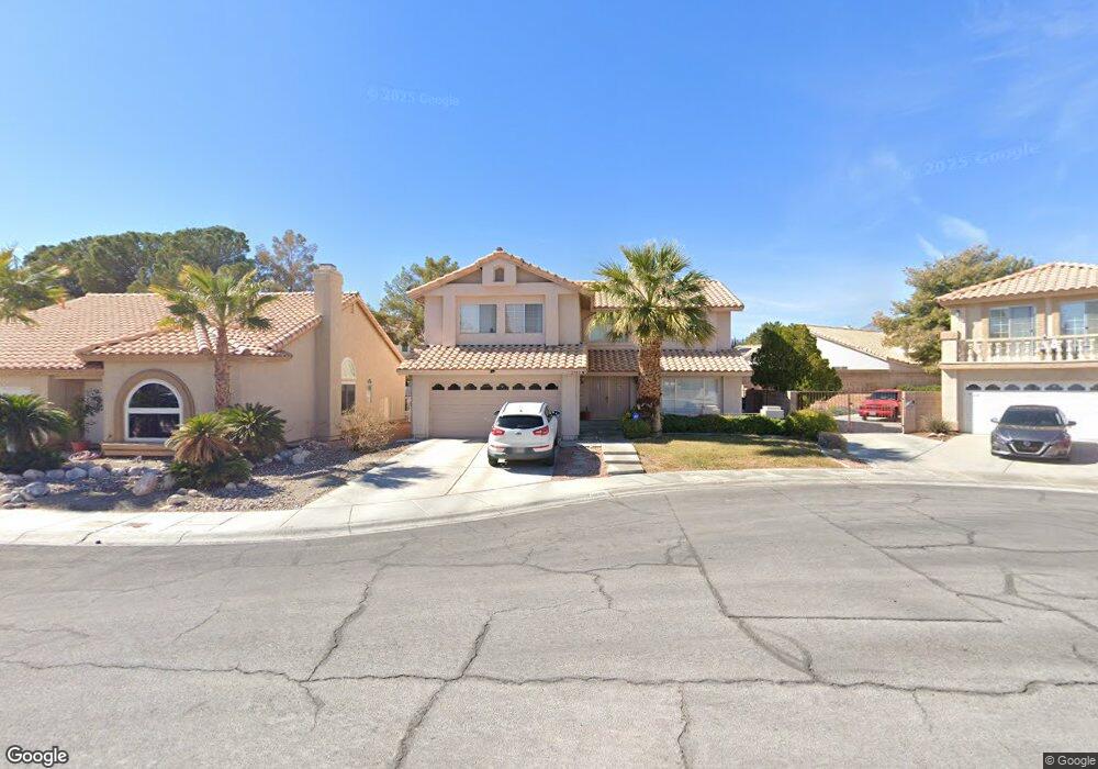
2705 Quail Roost Way Las Vegas, NV 89117
The Section Seven NeighborhoodEstimated Value: $580,000 - $638,000
4
Beds
3
Baths
2,655
Sq Ft
$229/Sq Ft
Est. Value
About This Home
This home is located at 2705 Quail Roost Way, Las Vegas, NV 89117 and is currently estimated at $608,171, approximately $229 per square foot. 2705 Quail Roost Way is a home located in Clark County with nearby schools including M J Christensen Elementary School, Clifford J Lawrence Junior High School, and Bonanza High School.
Ownership History
Date
Name
Owned For
Owner Type
Purchase Details
Closed on
May 4, 2004
Sold by
Horn Jan L and Abate Jan L
Bought by
Horn Trenton D and Horn Jan L
Current Estimated Value
Home Financials for this Owner
Home Financials are based on the most recent Mortgage that was taken out on this home.
Original Mortgage
$156,600
Interest Rate
5.92%
Mortgage Type
New Conventional
Purchase Details
Closed on
May 4, 1998
Sold by
Abate Jeffrey J and Abate Jan L
Bought by
Abate Jan L
Create a Home Valuation Report for This Property
The Home Valuation Report is an in-depth analysis detailing your home's value as well as a comparison with similar homes in the area
Home Values in the Area
Average Home Value in this Area
Purchase History
| Date | Buyer | Sale Price | Title Company |
|---|---|---|---|
| Horn Trenton D | -- | Fidelity National Title | |
| Abate Jan L | -- | -- |
Source: Public Records
Mortgage History
| Date | Status | Borrower | Loan Amount |
|---|---|---|---|
| Closed | Horn Trenton D | $156,600 |
Source: Public Records
Tax History Compared to Growth
Tax History
| Year | Tax Paid | Tax Assessment Tax Assessment Total Assessment is a certain percentage of the fair market value that is determined by local assessors to be the total taxable value of land and additions on the property. | Land | Improvement |
|---|---|---|---|---|
| 2025 | $3,037 | $118,026 | $37,100 | $80,926 |
| 2024 | $2,949 | $118,026 | $37,100 | $80,926 |
| 2023 | $2,949 | $116,101 | $38,500 | $77,601 |
| 2022 | $2,863 | $101,466 | $29,750 | $71,716 |
| 2021 | $2,780 | $95,906 | $27,300 | $68,606 |
| 2020 | $2,696 | $94,073 | $25,550 | $68,523 |
| 2019 | $2,663 | $94,841 | $26,950 | $67,891 |
| 2018 | $2,541 | $92,179 | $26,600 | $65,579 |
| 2017 | $3,011 | $91,834 | $24,850 | $66,984 |
| 2016 | $2,379 | $84,866 | $17,500 | $67,366 |
| 2015 | $2,374 | $73,505 | $16,450 | $57,055 |
| 2014 | $2,304 | $68,197 | $8,750 | $59,447 |
Source: Public Records
Map
Nearby Homes
- 2712 Quail Roost Way
- 2913 Domino Way
- 9113 Anchor Cove Ct
- 9429 Abalone Way
- 9100 Shelter Cove Ct
- 8913 Antioch Way
- 8932 Antioch Way
- 9544 Lazy River Dr
- 9021 Feather River Ct
- 2200 S Fort Apache Rd Unit 2202
- 2200 S Fort Apache Rd Unit 1077
- 2200 S Fort Apache Rd Unit 2073
- 2200 S Fort Apache Rd Unit 2237
- 2200 S Fort Apache Rd Unit 2192
- 2200 S Fort Apache Rd Unit 1038
- 2200 S Fort Apache Rd Unit 1050
- 2200 S Fort Apache Rd Unit 1168
- 2200 S Fort Apache Rd Unit 2017
- 2757 Lodestone Dr Unit 59
- 2825 Waterview Dr
- 2709 Quail Roost Way
- 2701 Quail Roost Way
- 2708 Cloudsdale Cir
- 2712 Cloudsdale Cir
- 2713 Quail Roost Way
- 2704 Cloudsdale Cir
- 2700 Quail Roost Way
- 2716 Cloudsdale Cir
- 2717 Quail Roost Way
- 2708 Quail Roost Way
- 2716 Quail Roost Way
- 2704 Quail Roost Way
- 2720 Cloudsdale Cir Unit na
- 2720 Cloudsdale Cir
- 2700 Cloudsdale Cir
- 2720 Quail Roost Way
- 2721 Quail Roost Way
- 2724 Cloudsdale Cir
- 2705 Cloudsdale Cir
- 2709 Cloudsdale Cir Unit 8A