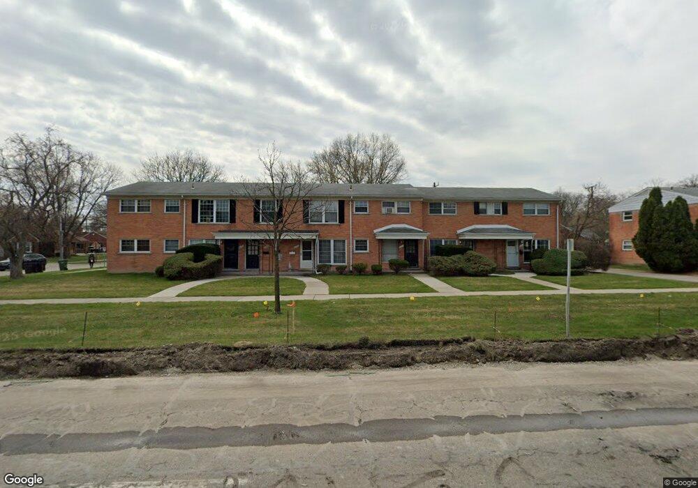
2705 W 13 Mile Rd Unit 12-Bldg10 Royal Oak, MI 48073
Estimated Value: $115,000 - $134,000
2
Beds
1
Bath
688
Sq Ft
$179/Sq Ft
Est. Value
About This Home
This home is located at 2705 W 13 Mile Rd Unit 12-Bldg10, Royal Oak, MI 48073 and is currently estimated at $123,216, approximately $179 per square foot. 2705 W 13 Mile Rd Unit 12-Bldg10 is a home located in Oakland County with nearby schools including Addams Elementary, Royal Oak Middle School, and Royal Oak High School.
Ownership History
Date
Name
Owned For
Owner Type
Purchase Details
Closed on
Sep 7, 2018
Sold by
Boyd Stephanie A
Bought by
Patabit Llc
Current Estimated Value
Purchase Details
Closed on
Dec 4, 2006
Sold by
Orourke Sean and Orourke Tiffany
Bought by
Boyd Stephanie A
Purchase Details
Closed on
Dec 14, 2004
Sold by
Ripullo Sandra Rose and Deramo Mary Teresa
Bought by
Orourke Sean and Orourke Tiffany
Purchase Details
Closed on
Oct 1, 2001
Sold by
Deramo Mary T
Bought by
Deramo Mary T
Create a Home Valuation Report for This Property
The Home Valuation Report is an in-depth analysis detailing your home's value as well as a comparison with similar homes in the area
Home Values in the Area
Average Home Value in this Area
Purchase History
| Date | Buyer | Sale Price | Title Company |
|---|---|---|---|
| Patabit Llc | $83,000 | Partners Title Agency Llc | |
| Boyd Stephanie A | $90,000 | Multiple | |
| Orourke Sean | $79,000 | Title One Inc | |
| Deramo Mary T | -- | -- |
Source: Public Records
Tax History Compared to Growth
Tax History
| Year | Tax Paid | Tax Assessment Tax Assessment Total Assessment is a certain percentage of the fair market value that is determined by local assessors to be the total taxable value of land and additions on the property. | Land | Improvement |
|---|---|---|---|---|
| 2024 | $1,673 | $45,050 | $0 | $0 |
| 2022 | $1,825 | $38,650 | $0 | $0 |
| 2020 | $1,614 | $32,680 | $0 | $0 |
| 2018 | $1,825 | $26,540 | $0 | $0 |
| 2017 | $740 | $26,540 | $0 | $0 |
| 2015 | -- | $21,770 | $0 | $0 |
| 2014 | -- | $20,530 | $0 | $0 |
| 2011 | -- | $28,490 | $0 | $0 |
Source: Public Records
Map
Nearby Homes
- 2503 W 13 Mile Rd Unit 18
- 2817 W 13 Mile Rd Unit 1
- 2614 Essex St
- 3415 Benjamin Ave Unit 505
- 3439 Benjamin Ave Unit 121
- 2915 W 13 Mile Rd Unit 101
- 2915 W 13 Mile Rd Unit 301
- 2915 W 13 Mile Rd Unit 209
- 2915 W 13 Mile Rd Unit 308
- 3122 Benjamin Ave
- 2602 Trafford Rd
- 2925 W 13 Mile Rd Unit 205
- 2925 W 13 Mile Rd Unit 405
- 2834 Bamlet Rd
- 3025 Clawson Ave
- 2925 Benjamin Ave
- 2806 Shenandoah Dr
- 2804 Shenandoah Dr
- 2916 Clawson Ave
- 3100 Linwood Ave Unit B, 28
- 3216 Shenandoah Dr Unit 6
- 2821 W 13 Mile Rd Unit 2
- 2906 W 13 Mile Rd Unit 3
- 2525 W 13 Mile Rd Unit 12
- 2819 W 13 Mile Rd Unit 12
- 2930 W 13 Mile Rd Unit 14
- 2932 W 13 Mile Rd Unit 1-4
- 2906 W 13 Mile Rd
- 2908 W 13 Mile Rd Unit 14
- 2930 W 13 Mile Rd Unit 13
- 2930 W 13 Mile Rd Unit 1, 14
- 3206 Shenandoah Dr Unit 2
- 2908 W 13 Mile Rd Unit 14
- 2818 W 13 Mile Rd Unit Bldg-Unit
- 2721 W 13 Mile Rd Unit Bldg-Unit
- 3226 Shenandoah Dr Unit Bldg-Unit
- 2808 W 13 Mile Rd Unit 4, 12
- 3211 Benjamin Ave
- 3211 Benjamin Ave
- 3219 Benjamin Ave