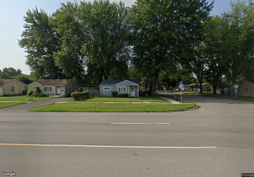
27063 van Born Rd Taylor, MI 48180
Estimated Value: $112,000 - $141,000
Studio
--
Bath
707
Sq Ft
$186/Sq Ft
Est. Value
About This Home
This home is located at 27063 van Born Rd, Taylor, MI 48180 and is currently estimated at $131,562, approximately $186 per square foot. 27063 van Born Rd is a home located in Wayne County with nearby schools including Holland Elementary School, Hoover Middle School, and Taylor High School.
Ownership History
Date
Name
Owned For
Owner Type
Purchase Details
Closed on
Feb 15, 2020
Sold by
Ross Scott A
Bought by
Wilson Samantha J and Ross Scott A
Current Estimated Value
Purchase Details
Closed on
Jun 6, 2003
Sold by
Flood Timothy F and Flood Timothy
Bought by
Ross Scott A
Purchase Details
Closed on
Apr 26, 2000
Sold by
Joshua R Lear
Bought by
Timothy F Flood
Purchase Details
Closed on
Nov 22, 1995
Sold by
Lear Joshua R and Lear Renee M
Bought by
Lear Joshua R and Lear Renee M
Create a Home Valuation Report for This Property
The Home Valuation Report is an in-depth analysis detailing your home's value as well as a comparison with similar homes in the area
Home Values in the Area
Average Home Value in this Area
Purchase History
| Date | Buyer | Sale Price | Title Company |
|---|---|---|---|
| Wilson Samantha J | -- | None Available | |
| Ross Scott A | $94,000 | Multiple | |
| Timothy F Flood | $75,000 | -- | |
| Lear Joshua R | $51,900 | -- |
Source: Public Records
Tax History
| Year | Tax Paid | Tax Assessment Tax Assessment Total Assessment is a certain percentage of the fair market value that is determined by local assessors to be the total taxable value of land and additions on the property. | Land | Improvement |
|---|---|---|---|---|
| 2025 | $1,486 | $56,500 | $0 | $0 |
| 2024 | $1,443 | $51,500 | $0 | $0 |
| 2023 | $1,618 | $43,900 | $0 | $0 |
| 2022 | $1,357 | $40,900 | $0 | $0 |
| 2021 | $1,068 | $34,800 | $0 | $0 |
| 2020 | $1,503 | $30,000 | $0 | $0 |
| 2019 | $105,324 | $25,700 | $0 | $0 |
| 2018 | $836 | $20,600 | $0 | $0 |
| 2017 | $883 | $20,200 | $0 | $0 |
| 2016 | $1,045 | $19,700 | $0 | $0 |
| 2015 | $1,890 | $18,900 | $0 | $0 |
| 2013 | $2,260 | $23,300 | $0 | $0 |
| 2012 | $973 | $23,100 | $10,400 | $12,700 |
Source: Public Records
Map
Nearby Homes
- 5940 Daniels St
- 27059 Jeannette Ct
- 27032 Joan St
- 6144 Princess St
- 5970 John Daly St
- 6198 Princess St
- 6155 Princess St
- 5132 S Inkster Rd
- 27029 Michelle Ct
- 6237 Inkster Rd
- 26532 Powers Ave
- 4863 Glenis St
- 6330 Hampden St
- 6334 Hampden St
- 26735 Annapolis St
- 6310 Duncan St
- 26424 Beverly Rd
- 27658 Eton St
- 26131 Amherst St
- 27272 Hopkins St
- 27045 van Born Rd
- 5831 Daniels St
- 27119 van Born Rd
- 5843 Daniels St
- 27019 van Born Rd
- 27127 van Born Rd
- 5834 Daniels St
- 5832 Sylvia St
- 5855 Daniels St
- 27003 van Born Rd
- 5840 Sylvia St
- 5850 Daniels St Unit Bldg-Unit
- 5850 Daniels St
- 27161 van Born Rd
- 5867 Daniels St
- 5852 Sylvia St
- 27020 van Born Rd
- 5866 Daniels St
- 5864 Sylvia St
- 5879 Daniels St Unit Bldg-Unit
Your Personal Tour Guide
Ask me questions while you tour the home.