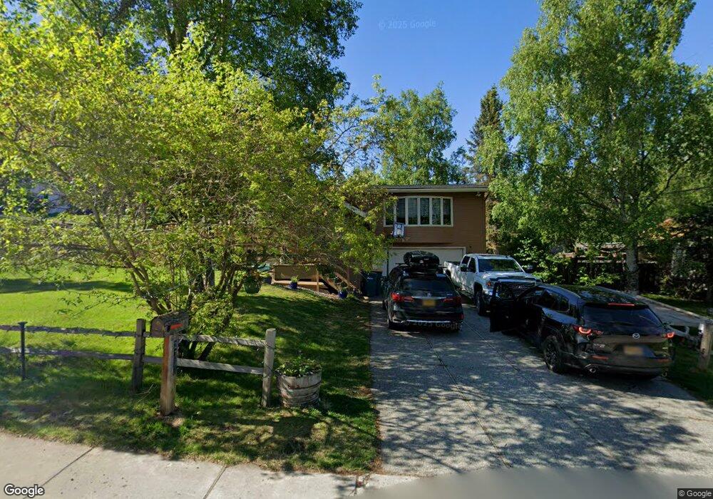
2708 Aspen Dr Anchorage, AK 99517
Spenard NeighborhoodEstimated Value: $266,000 - $491,560
4
Beds
2
Baths
2,171
Sq Ft
$177/Sq Ft
Est. Value
About This Home
This home is located at 2708 Aspen Dr, Anchorage, AK 99517 and is currently estimated at $383,390, approximately $176 per square foot. 2708 Aspen Dr is a home located in Anchorage Municipality with nearby schools including Northwood Elementary School, Romig Middle School, and West High School.
Ownership History
Date
Name
Owned For
Owner Type
Purchase Details
Closed on
Mar 31, 2023
Sold by
Wasson Benjamin
Bought by
Wasson Benjamin and Wasson Michele
Current Estimated Value
Purchase Details
Closed on
Aug 11, 2011
Sold by
Ketchum Lindley H and Ketchum Marguerite A
Bought by
Wasson Benjamin
Home Financials for this Owner
Home Financials are based on the most recent Mortgage that was taken out on this home.
Original Mortgage
$318,598
Interest Rate
4.25%
Mortgage Type
FHA
Create a Home Valuation Report for This Property
The Home Valuation Report is an in-depth analysis detailing your home's value as well as a comparison with similar homes in the area
Home Values in the Area
Average Home Value in this Area
Purchase History
| Date | Buyer | Sale Price | Title Company |
|---|---|---|---|
| Wasson Benjamin | -- | Stewart Title Company | |
| Wasson Benjamin | -- | Atga |
Source: Public Records
Mortgage History
| Date | Status | Borrower | Loan Amount |
|---|---|---|---|
| Previous Owner | Wasson Benjamin | $318,598 |
Source: Public Records
Tax History
| Year | Tax Paid | Tax Assessment Tax Assessment Total Assessment is a certain percentage of the fair market value that is determined by local assessors to be the total taxable value of land and additions on the property. | Land | Improvement |
|---|---|---|---|---|
| 2025 | $6,061 | $471,700 | $110,900 | $360,800 |
| 2024 | $6,061 | $450,400 | $110,900 | $339,500 |
| 2023 | $7,008 | $411,500 | $110,900 | $300,600 |
| 2022 | $5,916 | $401,300 | $110,900 | $290,400 |
| 2021 | $6,512 | $361,400 | $110,900 | $250,500 |
| 2020 | $5,245 | $358,800 | $110,900 | $247,900 |
| 2019 | $5,127 | $363,400 | $110,900 | $252,500 |
| 2018 | $4,941 | $351,300 | $110,900 | $240,400 |
| 2017 | $5,456 | $368,400 | $110,900 | $257,500 |
| 2016 | $5,104 | $384,300 | $116,700 | $267,600 |
| 2015 | $5,104 | $367,000 | $116,700 | $250,300 |
| 2014 | $5,104 | $343,000 | $116,700 | $226,300 |
Source: Public Records
Map
Nearby Homes
- 2807 Malibu Meadows Way Unit 2A
- 2831 W International Airport Rd Unit F103
- 2815 W International Airport Rd Unit B104
- 4302 Forrest Rd
- 3105 Lakeshore Dr Unit 4062
- 2204 W 46th Ave
- 2201 W 47th Ave
- 3333 Lakeshore Dr Unit 2
- 4420 Van Buren St
- NHN Northwood Dr
- 5000 Northwood Dr
- 4000 Iowa Dr
- 2060 Wenmatt Cir
- 1808 W 47th Ave
- 3900 Crosson Dr
- 3240 Wiley Post Loop
- 6017 Collins Way
- 3517 Vintage Cir
- 2511 Abbey Ln
- 6305 Blackberry St
- 2819 Aspen Dr
- 2829 Aspen Dr
- 2802 Aspen Dr
- 2802 Aspen Dr Unit A
- 4704 Malibu Rd
- 2800 Aspen Dr
- 2715 Aspen Dr
- 2803 Aspen Dr
- 4705 Malibu Rd
- 2801 Valleywood Dr
- 4708 Malibu Rd
- 4707 Malibu Rd
- 4707 Malibu Rd Unit 30
- 2804 Aspen Dr
- 2805 Aspen Dr
- 2803 Valleywood Dr
- 2703 Aspen Dr
- 4709 Malibu Rd
- 2806 Aspen Dr
- 2807 Aspen Dr
Your Personal Tour Guide
Ask me questions while you tour the home.