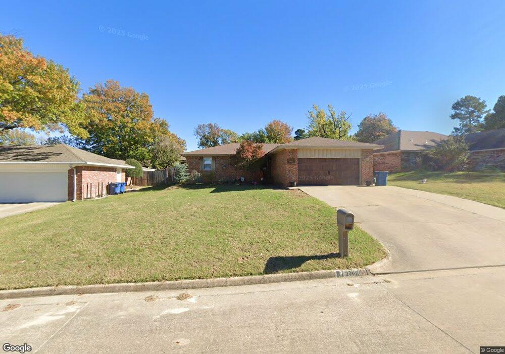
2708 Brookside Cir McAlester, OK 74501
Estimated Value: $154,137 - $183,000
3
Beds
2
Baths
1,380
Sq Ft
$126/Sq Ft
Est. Value
About This Home
This home is located at 2708 Brookside Cir, McAlester, OK 74501 and is currently estimated at $174,034, approximately $126 per square foot. 2708 Brookside Cir is a home located in Pittsburg County with nearby schools including McAlester High School, Mcalester Christian Academy, and Lakewood Christian School.
Ownership History
Date
Name
Owned For
Owner Type
Purchase Details
Closed on
Oct 21, 2022
Sold by
Lesnau Nathan
Bought by
Lesnau Lacy
Current Estimated Value
Purchase Details
Closed on
Mar 12, 2008
Sold by
Moore Aaron B and Moore Christy M
Bought by
Lesnau Nathan
Home Financials for this Owner
Home Financials are based on the most recent Mortgage that was taken out on this home.
Original Mortgage
$128,010
Interest Rate
5.72%
Mortgage Type
New Conventional
Create a Home Valuation Report for This Property
The Home Valuation Report is an in-depth analysis detailing your home's value as well as a comparison with similar homes in the area
Purchase History
| Date | Buyer | Sale Price | Title Company |
|---|---|---|---|
| Lesnau Lacy | -- | -- | |
| Lesnau Lacy | -- | None Listed On Document | |
| Lesnau Nathan | $125,500 | None Available |
Source: Public Records
Mortgage History
| Date | Status | Borrower | Loan Amount |
|---|---|---|---|
| Previous Owner | Lesnau Nathan | $128,010 |
Source: Public Records
Tax History
| Year | Tax Paid | Tax Assessment Tax Assessment Total Assessment is a certain percentage of the fair market value that is determined by local assessors to be the total taxable value of land and additions on the property. | Land | Improvement |
|---|---|---|---|---|
| 2025 | $1,124 | $12,798 | $1,562 | $11,236 |
| 2024 | $1,125 | $13,975 | $1,562 | $12,413 |
| 2023 | $1,225 | $14,611 | $1,562 | $13,049 |
| 2022 | $1,279 | $14,611 | $1,562 | $13,049 |
| 2021 | $1,272 | $14,611 | $1,562 | $13,049 |
| 2020 | $1,225 | $13,980 | $1,562 | $12,418 |
| 2019 | $1,073 | $13,314 | $1,562 | $11,752 |
| 2018 | $1,075 | $13,314 | $1,562 | $11,752 |
| 2017 | $1,085 | $13,314 | $1,562 | $11,752 |
| 2016 | $1,080 | $13,314 | $1,562 | $11,752 |
| 2015 | $1,027 | $13,806 | $890 | $12,916 |
| 2014 | $1,027 | $13,806 | $890 | $12,916 |
Source: Public Records
Map
Nearby Homes
- 2705 Brookside Cir
- 0 Hardy Springs Cir
- 602 Flamingo Rd
- 3201 Hardy Springs Rd
- 2710 Hardy Springs Rd
- 1910 Cardinal Ln
- 1901 Mockingbird Ln
- 509 Dove Dr
- 1813 Mockingbird Ln
- 3101 Hardy Springs Rd
- 3001 Hardy Springs Rd
- 3100 Hardy Springs Rd
- 1813 Nightingale Cir
- 1003 Sunnybrook
- 1803 S 9th St
- 0 Oklahoma Ave
- 1709 Virginia Dr
- 1710 Louise Dr
- 1708 Louise Dr
- 9 Edgewood Dr
- 2710 Brookside Cir
- 2706 Brookside Cir
- 2709 Highland Terrace
- 2711 Highland Terrace
- 2704 Brookside Cir
- 2712 Brookside Cir
- 2707 Highland Terrace
- 2713 Highland Terrace
- 2702 Brookside Cir
- 2705 Highland Terrace
- 2711 Brookside Cir
- 2703 Brookside Cir
- 2718 Brookside Cir
- 2703 Highland Terrace
- 806 Hardy Springs Cir
- 2713 Brookside Cir
- 2713 Brookside Cir
- 2715 Highland Terrace
- 2710 Highland Terrace
- 802 Hardy Springs Cir
Your Personal Tour Guide
Ask me questions while you tour the home.