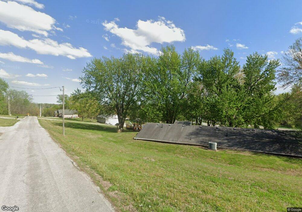
2708 Mansfield Rd Saint Joseph, MO 64503
Southside NeighborhoodEstimated Value: $291,000 - $331,851
--
Bed
--
Bath
2,400
Sq Ft
$129/Sq Ft
Est. Value
About This Home
This home is located at 2708 Mansfield Rd, Saint Joseph, MO 64503 and is currently estimated at $309,963, approximately $129 per square foot. 2708 Mansfield Rd is a home located in Buchanan County with nearby schools including Hyde Elementary School, Spring Garden Middle School, and Benton High School.
Ownership History
Date
Name
Owned For
Owner Type
Purchase Details
Closed on
Jul 1, 2005
Sold by
Howe Dennis R and Howe Connie K
Bought by
Kelley Brett A and Kelley Kimberly S
Current Estimated Value
Home Financials for this Owner
Home Financials are based on the most recent Mortgage that was taken out on this home.
Original Mortgage
$147,500
Outstanding Balance
$77,047
Interest Rate
5.67%
Estimated Equity
$232,916
Create a Home Valuation Report for This Property
The Home Valuation Report is an in-depth analysis detailing your home's value as well as a comparison with similar homes in the area
Home Values in the Area
Average Home Value in this Area
Purchase History
| Date | Buyer | Sale Price | Title Company |
|---|---|---|---|
| Kelley Brett A | -- | Preferred Title Of St Joseph |
Source: Public Records
Mortgage History
| Date | Status | Borrower | Loan Amount |
|---|---|---|---|
| Open | Kelley Brett A | $147,500 |
Source: Public Records
Tax History Compared to Growth
Tax History
| Year | Tax Paid | Tax Assessment Tax Assessment Total Assessment is a certain percentage of the fair market value that is determined by local assessors to be the total taxable value of land and additions on the property. | Land | Improvement |
|---|---|---|---|---|
| 2024 | $1,872 | $26,170 | $3,800 | $22,370 |
| 2023 | $1,872 | $26,170 | $3,800 | $22,370 |
| 2022 | $1,727 | $26,170 | $3,800 | $22,370 |
| 2021 | $1,735 | $26,170 | $3,800 | $22,370 |
| 2020 | $1,724 | $26,170 | $3,800 | $22,370 |
| 2019 | $1,665 | $26,170 | $3,800 | $22,370 |
| 2018 | $1,504 | $26,170 | $3,800 | $22,370 |
| 2017 | $1,490 | $26,170 | $0 | $0 |
| 2015 | $2 | $26,170 | $0 | $0 |
| 2014 | $1,633 | $26,170 | $0 | $0 |
Source: Public Records
Map
Nearby Homes
- 2711 Meadow Ridge Dr
- 2713 Meadow Ridge Dr
- 2704 Meadow Ridge Dr
- 4518 Libby Ln
- 2930 SE Mason Rd
- 6406 S 24th St
- 2004 Fountain Creek Dr
- 1613 Frankie Ln
- 39 Mackenzie Dr
- 2908 Pear St
- 5416 Anah St
- 915 W Buddy St
- 6424 S 16th St
- 3736 S 11th Street Rd
- 824 Garden St
- 1602 E Joseph St
- 3305 S 33rd Terrace
- 0 S 22nd St
- 0 Pear St
- 3200 Pear St
- 2723 Mansfield Rd
- 2721 Mansfield Rd
- 2727 Mansfield Rd
- 2733 Mansfield Rd
- 2804 Mansfield Rd
- 2848 Mansfield Rd
- 2633 Mansfield Rd
- 5113 Pleasant Ave
- 5109 Pleasant Ave
- 0 Pleasant Ave
- 2900 Mansfield Rd
- 5007 Pleasant Ave
- 5605 Pleasant Ave
- 5512 Pleasant Ave
- 5005 Pleasant Ave
- 2998 Mansfield Rd
- 2308 Mansfield Rd
- 2801 Mansfield Rd
- 5006 Pleasant Ave
- 5610 Pleasant Ave