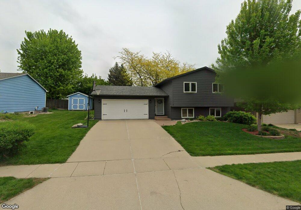
2708 S Maywood Dr Sioux Falls, SD 57110
East Side NeighborhoodEstimated Value: $328,000 - $343,000
3
Beds
2
Baths
1,868
Sq Ft
$179/Sq Ft
Est. Value
About This Home
This home is located at 2708 S Maywood Dr, Sioux Falls, SD 57110 and is currently estimated at $333,792, approximately $178 per square foot. 2708 S Maywood Dr is a home located in Minnehaha County with nearby schools including Harvey Dunn Elementary School, Washington High School, and Train Up A Child Preschool/Kindergarten.
Ownership History
Date
Name
Owned For
Owner Type
Purchase Details
Closed on
Feb 7, 2012
Sold by
Berg Rodney F and Berg Vicki L
Bought by
Baltzer Bradley J and Baltzer Sarah E
Current Estimated Value
Home Financials for this Owner
Home Financials are based on the most recent Mortgage that was taken out on this home.
Original Mortgage
$134,000
Outstanding Balance
$91,848
Interest Rate
3.9%
Estimated Equity
$241,944
Create a Home Valuation Report for This Property
The Home Valuation Report is an in-depth analysis detailing your home's value as well as a comparison with similar homes in the area
Home Values in the Area
Average Home Value in this Area
Purchase History
| Date | Buyer | Sale Price | Title Company |
|---|---|---|---|
| Baltzer Bradley J | $149,000 | -- |
Source: Public Records
Mortgage History
| Date | Status | Borrower | Loan Amount |
|---|---|---|---|
| Open | Baltzer Bradley J | $134,000 |
Source: Public Records
Tax History Compared to Growth
Tax History
| Year | Tax Paid | Tax Assessment Tax Assessment Total Assessment is a certain percentage of the fair market value that is determined by local assessors to be the total taxable value of land and additions on the property. | Land | Improvement |
|---|---|---|---|---|
| 2024 | $3,449 | $254,400 | $27,000 | $227,400 |
| 2023 | $3,393 | $240,900 | $27,000 | $213,900 |
| 2022 | $3,441 | $230,800 | $25,100 | $205,700 |
| 2021 | $2,557 | $187,000 | $0 | $0 |
| 2020 | $2,557 | $163,200 | $0 | $0 |
| 2019 | $2,638 | $165,702 | $0 | $0 |
| 2018 | $2,529 | $162,079 | $0 | $0 |
| 2017 | $2,305 | $159,664 | $23,205 | $136,459 |
| 2016 | $2,305 | $145,143 | $23,205 | $121,938 |
| 2015 | $2,250 | $136,105 | $21,840 | $114,265 |
| 2014 | $2,149 | $136,647 | $20,851 | $115,796 |
Source: Public Records
Map
Nearby Homes
- 4913 E 33rd St
- 2709 S Chapelwood Ave
- 2520 S Alpine Ave
- 5117 E Blueridge Dr
- 4504 E 36th St
- 2405 S Chapelwood Ave
- 4423 E 37th St
- 4504 E Kearney Place
- 4700 E Alpine Cir
- 2813 S Cinnabar Cir
- 4501 E Kearney Place
- 5015 E Newcastle St
- 2213 S Saddle Ridge Dr
- 4509 E Belmont St
- 2000 S Gordon Dr
- 5500 E Surrey Cir Cir
- 2208 S Saddle Ridge Dr
- 2309 S Red Oak Ave
- 5501 E Morningside Cir
- 2305 S Red Oak Ave
- 2714 S Maywood Dr
- 2700 S Maywood Dr
- 4719 E 33rd St
- 2720 S Maywood Dr
- 2705 S Groveland Ave
- 2709 S Groveland Ave
- 4721 E 33rd St
- 2713 S Maywood Dr
- 2724 S Maywood Dr
- 2713 S Groveland Ave
- 2709 S Maywood Dr
- 2717 S Maywood Dr
- 2721 S Maywood Dr
- 2705 S Maywood Dr
- 2717 S Groveland Ave
- 2725 S Maywood Dr
- 4800 E 36th St
- 4804 E 36th St
- 2708 S Bernhaven Ave
- 4709 E 33rd St