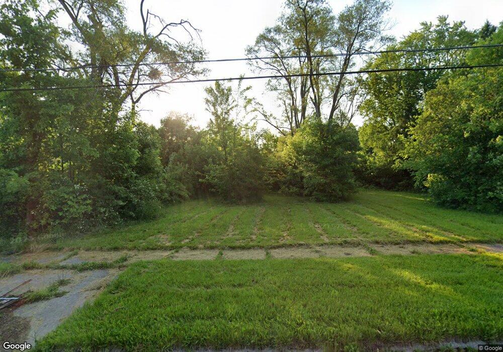
2708 Wisner St Flint, MI 48504
Civic Park NeighborhoodEstimated Value: $38,000 - $87,000
3
Beds
1
Bath
936
Sq Ft
$58/Sq Ft
Est. Value
About This Home
This home is located at 2708 Wisner St, Flint, MI 48504 and is currently estimated at $53,936, approximately $57 per square foot. 2708 Wisner St is a home located in Genesee County with nearby schools including Brownell STEM Academy, Greater Heights Academy, and Eagle's Nest Academy.
Ownership History
Date
Name
Owned For
Owner Type
Purchase Details
Closed on
Dec 17, 2015
Sold by
Genesee County
Bought by
Genesee County Land Bank
Current Estimated Value
Purchase Details
Closed on
Apr 8, 2005
Sold by
Sutton John W and Sutton Joan C
Bought by
Mccorvey David L and Coulter Cassandra
Home Financials for this Owner
Home Financials are based on the most recent Mortgage that was taken out on this home.
Original Mortgage
$42,500
Interest Rate
10.37%
Mortgage Type
New Conventional
Purchase Details
Closed on
Apr 7, 2005
Sold by
Mccorvy David L and Coulter Cassandra
Bought by
Coulter Cassandra
Home Financials for this Owner
Home Financials are based on the most recent Mortgage that was taken out on this home.
Original Mortgage
$42,500
Interest Rate
10.37%
Mortgage Type
New Conventional
Create a Home Valuation Report for This Property
The Home Valuation Report is an in-depth analysis detailing your home's value as well as a comparison with similar homes in the area
Home Values in the Area
Average Home Value in this Area
Purchase History
We collect this data history from publicly available records. To have your information removed, we recommend requesting removal directly through your county’s website.
| Date | Buyer | Sale Price | Title Company |
|---|---|---|---|
| Genesee County Land Bank | -- | None Available | |
| Mccorvey David L | $36,900 | Title Michigan Agency Ltd | |
| Coulter Cassandra | -- | Title Michigan Agency Ltd |
Source: Public Records
Mortgage History
We collect this data history from publicly available records. To have your information removed, we recommend requesting removal directly through your county’s website.
| Date | Status | Borrower | Loan Amount |
|---|---|---|---|
| Previous Owner | Mccorvey David L | $42,500 |
Source: Public Records
Tax History
| Year | Tax Paid | Tax Assessment Tax Assessment Total Assessment is a certain percentage of the fair market value that is determined by local assessors to be the total taxable value of land and additions on the property. | Land | Improvement |
|---|---|---|---|---|
| 2025 | -- | $0 | $0 | $0 |
| 2024 | -- | $0 | $0 | $0 |
| 2023 | -- | $0 | $0 | $0 |
| 2022 | $0 | $0 | $0 | $0 |
| 2021 | $0 | $0 | $0 | $0 |
| 2020 | $0 | $0 | $0 | $0 |
| 2019 | $0 | $0 | $0 | $0 |
| 2018 | $0 | $0 | $0 | $0 |
| 2017 | $0 | $0 | $0 | $0 |
| 2016 | $0 | $0 | $0 | $0 |
| 2015 | -- | $0 | $0 | $0 |
| 2014 | -- | $0 | $0 | $0 |
| 2012 | -- | $1,900 | $0 | $0 |
Source: Public Records
Map
Nearby Homes
- 2434 Thornton Ave
- 2631 Brownell Blvd
- 3001 Kellar Ave
- 2407 Kellar Ave
- 2302 Copeman Blvd
- 2615 Trumbull Ave
- 3210 Emerson St
- 3210 Brownell Blvd
- 2907 Trumbull Ave
- 2514 Trumbull Ave
- 1521 W Dartmouth St
- 3167 W Dartmouth St
- 2038 Copeman Blvd
- 3022 Begole St
- 3506 Brownell Blvd
- 3218 Trumbull Ave
- 1402 W Dartmouth St
- 3617 Kellar Ave
- 3505 Leerda St
- 0 Pasadena Ave
Your Personal Tour Guide
Ask me questions while you tour the home.