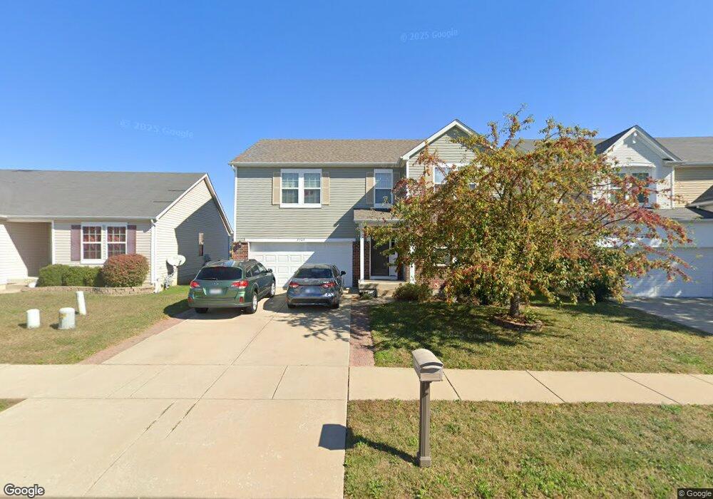
2709 Commons Pkwy Belleville, IL 62221
Estimated Value: $322,000 - $364,000
--
Bed
--
Bath
1,487
Sq Ft
$230/Sq Ft
Est. Value
About This Home
This home is located at 2709 Commons Pkwy, Belleville, IL 62221 and is currently estimated at $341,507, approximately $229 per square foot. 2709 Commons Pkwy is a home with nearby schools including Mascoutah High School, Zion Lutheran School Belleville, and St Teresa Catholic School.
Ownership History
Date
Name
Owned For
Owner Type
Purchase Details
Closed on
Sep 12, 2011
Sold by
The Jones Company Homes Llc
Bought by
Cavin Keith M and Cavin Malene E
Current Estimated Value
Home Financials for this Owner
Home Financials are based on the most recent Mortgage that was taken out on this home.
Original Mortgage
$186,267
Outstanding Balance
$128,404
Interest Rate
4.4%
Mortgage Type
VA
Estimated Equity
$213,103
Create a Home Valuation Report for This Property
The Home Valuation Report is an in-depth analysis detailing your home's value as well as a comparison with similar homes in the area
Home Values in the Area
Average Home Value in this Area
Purchase History
| Date | Buyer | Sale Price | Title Company |
|---|---|---|---|
| Cavin Keith M | $194,000 | Pgp Title Company |
Source: Public Records
Mortgage History
| Date | Status | Borrower | Loan Amount |
|---|---|---|---|
| Open | Cavin Keith M | $186,267 |
Source: Public Records
Tax History Compared to Growth
Tax History
| Year | Tax Paid | Tax Assessment Tax Assessment Total Assessment is a certain percentage of the fair market value that is determined by local assessors to be the total taxable value of land and additions on the property. | Land | Improvement |
|---|---|---|---|---|
| 2024 | $6,913 | $96,610 | $14,030 | $82,580 |
| 2023 | $6,616 | $88,426 | $13,752 | $74,674 |
| 2022 | $6,200 | $79,605 | $12,380 | $67,225 |
| 2021 | $5,866 | $73,592 | $11,444 | $62,148 |
| 2020 | $5,649 | $69,594 | $10,823 | $58,771 |
| 2019 | $5,496 | $67,466 | $10,841 | $56,625 |
| 2018 | $5,338 | $66,008 | $10,607 | $55,401 |
| 2017 | $5,406 | $65,543 | $10,532 | $55,011 |
| 2016 | $5,307 | $64,151 | $10,308 | $53,843 |
| 2014 | $4,263 | $57,346 | $9,474 | $47,872 |
| 2013 | -- | $58,167 | $9,610 | $48,557 |
Source: Public Records
Map
Nearby Homes
- 2709 Cedar Grove Dr
- 2601 Cedar Grove Dr
- 2626 Welsch Dr
- 2619 Waldon Ln
- 2511 Welsch Dr
- 1946 Stingray Ct
- 2546 London Ln
- 400 University Dr
- 305 Flagstone Dr
- 2313 College Ave
- 403 Flagstone Dr
- 204 Bittersweet Ln
- 5 Calypso Ct
- 3021 Carlyle Ave
- 71 Magnolia Dr
- 3233 Scepter Ct
- 240 Brookmont Dr
- 3217 Millbrook Dr
- 3231 Stonebridge Dr
- 1301 Springfield Dr
- 2713 Commons Pkwy
- 2705 Commons Pkwy
- 2717 Commons Pkwy
- 2701 Commons Pkwy
- 205 Longridge Cir
- 209 Longridge Cir
- 2721 Commons Pkwy
- 116 Chestnut Grove Dr
- 204 Sparrow Point Ln
- 2716 Commons Pkwy
- 200 Longridge Cir
- 213 Longridge Cir
- 208 Sparrow Point Ln
- 112 Chestnut Grove Dr
- 2641 Commons Pkwy
- 113 Chestnut Grove
- 217 Longridge Cir
- 2757 Autumn Harvest Ln
- 212 Sparrow Point Ln
- 2824 Cedar Grove Dr