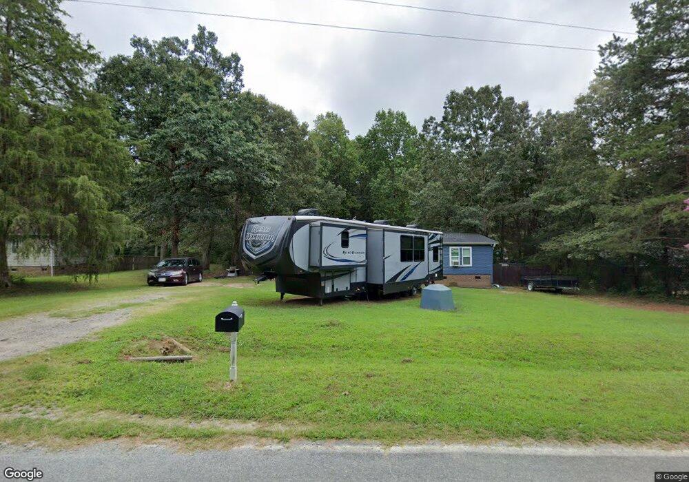
2709 Hudson Poultry Rd Iron Station, NC 28080
Estimated Value: $135,350 - $294,000
3
Beds
2
Baths
1,512
Sq Ft
$150/Sq Ft
Est. Value
About This Home
This home is located at 2709 Hudson Poultry Rd, Iron Station, NC 28080 and is currently estimated at $226,838, approximately $150 per square foot. 2709 Hudson Poultry Rd is a home located in Lincoln County with nearby schools including Iron Station Elementary School, East Lincoln Middle School, and East Lincoln High School.
Ownership History
Date
Name
Owned For
Owner Type
Purchase Details
Closed on
Jun 29, 2011
Sold by
Yando Susan A
Bought by
Collazo Nector and Ortiz Myrta
Current Estimated Value
Home Financials for this Owner
Home Financials are based on the most recent Mortgage that was taken out on this home.
Original Mortgage
$50,575
Interest Rate
4.53%
Mortgage Type
Seller Take Back
Purchase Details
Closed on
Jul 29, 2008
Sold by
Vanderbilt Mortgage & Finance Inc
Bought by
Yando Susan A
Purchase Details
Closed on
May 3, 2007
Sold by
Blankenship Ralph Lee and Blankenship Ralph L
Bought by
Vanderbilt Mortgage And Finance Inc
Purchase Details
Closed on
Mar 20, 1998
Bought by
Blankenship Ralph L
Create a Home Valuation Report for This Property
The Home Valuation Report is an in-depth analysis detailing your home's value as well as a comparison with similar homes in the area
Home Values in the Area
Average Home Value in this Area
Purchase History
| Date | Buyer | Sale Price | Title Company |
|---|---|---|---|
| Collazo Nector | $59,000 | None Available | |
| Yando Susan A | $65,000 | None Available | |
| Vanderbilt Mortgage And Finance Inc | $69,900 | None Available | |
| Blankenship Ralph L | $19,000 | -- |
Source: Public Records
Mortgage History
| Date | Status | Borrower | Loan Amount |
|---|---|---|---|
| Closed | Collazo Nector | $50,575 |
Source: Public Records
Tax History Compared to Growth
Tax History
| Year | Tax Paid | Tax Assessment Tax Assessment Total Assessment is a certain percentage of the fair market value that is determined by local assessors to be the total taxable value of land and additions on the property. | Land | Improvement |
|---|---|---|---|---|
| 2025 | $920 | $125,967 | $32,738 | $93,229 |
| 2024 | $900 | $125,967 | $32,738 | $93,229 |
| 2023 | $878 | $125,967 | $32,738 | $93,229 |
| 2022 | $718 | $81,934 | $26,360 | $55,574 |
| 2021 | $718 | $81,934 | $26,360 | $55,574 |
| 2020 | $586 | $81,934 | $26,360 | $55,574 |
| 2019 | $586 | $81,934 | $26,360 | $55,574 |
| 2018 | $614 | $70,493 | $24,411 | $46,082 |
| 2017 | $513 | $70,493 | $24,411 | $46,082 |
| 2016 | $513 | $70,493 | $24,411 | $46,082 |
| 2015 | $589 | $70,493 | $24,411 | $46,082 |
| 2014 | $674 | $83,454 | $27,062 | $56,392 |
Source: Public Records
Map
Nearby Homes
- 5486 E Highway 27
- 1987 & 1981 Magnolia Grove Rd
- 1371 Alexis High Shoals Rd
- 3388 Rhyne Forest Rd
- 222 Oakhill St
- 3960 Orchard Rd
- 1554 Forum Ln
- 1481 Depot St
- 2651 Keever Dairy Farm Rd
- 1351 Hardin Rd
- 1279 Craig Dr
- 4394 Mountain Creek Rd
- 6 Hager Mountain Ln
- 1259 Hardin Rd
- 3132 Fox Den Cir
- 4859 Paysour Pond Rd
- 1341 Mirror Lake Rd
- 121 Alexis Forest Dr
- 324 Old Hardin Rd
- 124 Dayton Rd
- 2717 Hudson Poultry Rd
- 2697 Hudson Poultry Rd
- 2722 Hudson Poultry Rd
- 2683 Hudson Poultry Rd
- 2755 Hudson Poultry Rd
- 2420 Longneck Dr
- 2420 Long Neck Dr
- 2909 Amethyst Ln
- LOT19 Long Neck Dr
- 2763 Hudson Poultry Rd
- 2768 Hudson Poultry Rd
- 2652 Hudson Poultry Rd
- 2771 Wingtip Ct
- 2783 Wingtip Ct
- 2773 Hudson Poultry Rd
- 2419 Longneck Dr
- 2793 Wingtip Ct
- 2767 Wingtip Ct
- 2770 Hudson Poultry Rd
- 2783 Hudson Poultry Rd