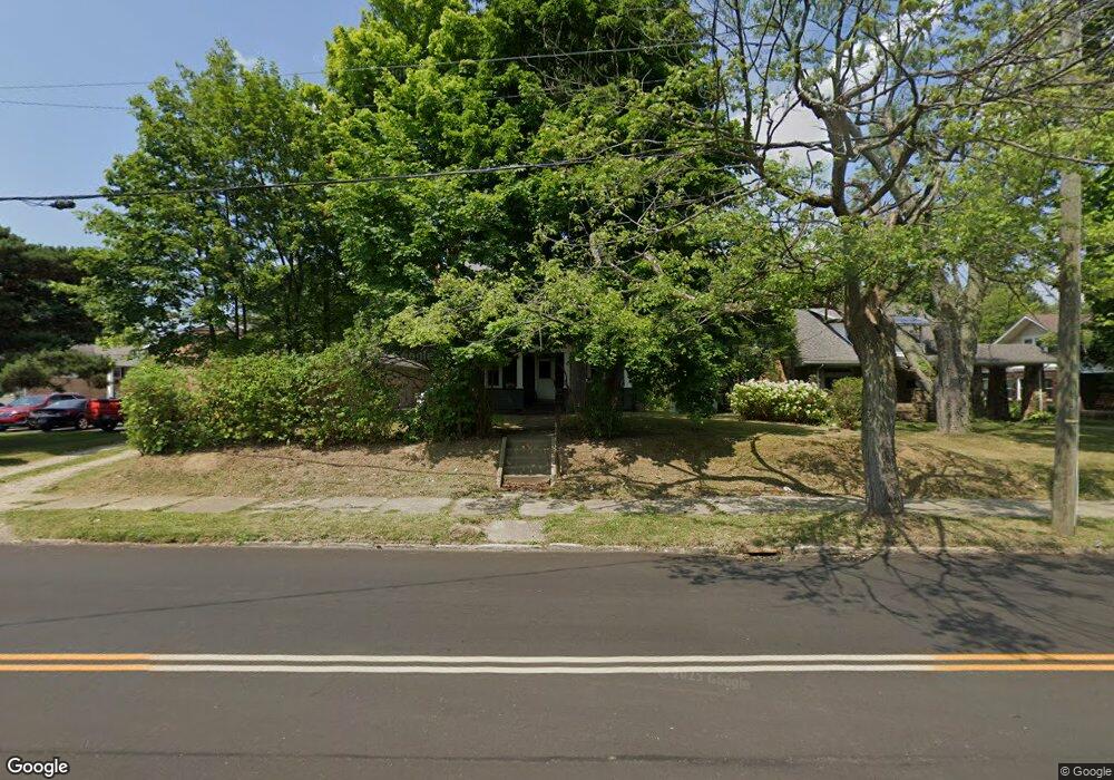
2709 S Union Ave Alliance, OH 44601
Estimated Value: $155,000 - $188,000
3
Beds
1
Bath
1,488
Sq Ft
$114/Sq Ft
Est. Value
About This Home
This home is located at 2709 S Union Ave, Alliance, OH 44601 and is currently estimated at $169,829, approximately $114 per square foot. 2709 S Union Ave is a home located in Stark County with nearby schools including Alliance Elementary School at Rockhill, Alliance Intermediate School at Northside, and Alliance Middle School.
Ownership History
Date
Name
Owned For
Owner Type
Purchase Details
Closed on
Aug 3, 2007
Sold by
Cameron Wanda J
Bought by
Carnation Rentals Ltd
Current Estimated Value
Purchase Details
Closed on
Jul 3, 2003
Sold by
Estate Of William D Swarts
Bought by
Swarts Stephanie
Purchase Details
Closed on
Jan 17, 2003
Sold by
Swarts Stephanie
Bought by
Swarts Wanda Mae
Create a Home Valuation Report for This Property
The Home Valuation Report is an in-depth analysis detailing your home's value as well as a comparison with similar homes in the area
Home Values in the Area
Average Home Value in this Area
Purchase History
| Date | Buyer | Sale Price | Title Company |
|---|---|---|---|
| Carnation Rentals Ltd | $40,000 | Heritage Union Title Co Ltd | |
| Swarts Stephanie | -- | -- | |
| Swarts Wanda Mae | $64,100 | -- |
Source: Public Records
Tax History
| Year | Tax Paid | Tax Assessment Tax Assessment Total Assessment is a certain percentage of the fair market value that is determined by local assessors to be the total taxable value of land and additions on the property. | Land | Improvement |
|---|---|---|---|---|
| 2025 | -- | $42,280 | $13,860 | $28,420 |
| 2024 | -- | $42,280 | $13,860 | $28,420 |
| 2023 | $1,543 | $37,490 | $17,540 | $19,950 |
| 2022 | $1,553 | $37,490 | $17,540 | $19,950 |
| 2021 | $1,558 | $37,490 | $17,540 | $19,950 |
| 2020 | $1,429 | $32,130 | $15,260 | $16,870 |
| 2019 | $1,410 | $32,130 | $15,260 | $16,870 |
Source: Public Records
Map
Nearby Homes
- 2406 S Union Ave
- 2405 Cherry Ave
- 2372 S Union Ave
- 2943 S Union Ave
- 2705 Shunk Ave
- 152 E Mill St
- 2408 S Linden Ave
- 2625 Belleflower Dr
- 2464 S Freedom Ave
- 2041 Watson Ave
- 555 E Milton St
- 3116 Ridgehill Ave
- 856 Birchwood Dr
- 853 Fairway Dr
- 1823 S Seneca Ave
- 390 E College St
- 29 Colony Dr
- 31 Colony Dr
- 864 W College Rd
- 233 Shadyside Ct
- 2637 S Union Ave
- 2625 S Union Ave
- 2720 S Union Ave
- 2626 S Union Ave
- 2749 S Union Ave
- 2811 S Union Ave
- 50 E Milton St
- 2820 S Union Ave
- 37 Catherine Ln
- 113 E Milton St
- 108 E Milton St
- 2526 S Union Ave
- 101 Catherine Ln
- 118 Lorentz St
- 25 Catherine Ln
- 120 E Milton St
- 127 E Milton St
- 2855 S Union Ave
- 101 Lorentz St
- 113 Catherine Ln
Your Personal Tour Guide
Ask me questions while you tour the home.