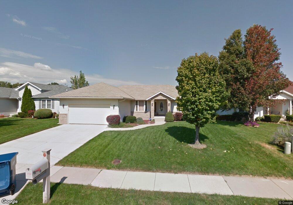
2709 Southgate Dr Springfield, IL 62703
Springfield Far East District NeighborhoodEstimated Value: $154,000 - $180,338
3
Beds
2
Baths
3,056
Sq Ft
$55/Sq Ft
Est. Value
About This Home
This home is located at 2709 Southgate Dr, Springfield, IL 62703 and is currently estimated at $168,335, approximately $55 per square foot. 2709 Southgate Dr is a home located in Sangamon County with nearby schools including Hazel Dell Elementary School, Washington Middle School, and Springfield Southeast High School.
Ownership History
Date
Name
Owned For
Owner Type
Purchase Details
Closed on
Aug 10, 2009
Current Estimated Value
Purchase Details
Closed on
Dec 3, 2004
Purchase Details
Closed on
Jan 8, 2001
Purchase Details
Closed on
Jul 6, 2000
Purchase Details
Closed on
May 7, 1999
Create a Home Valuation Report for This Property
The Home Valuation Report is an in-depth analysis detailing your home's value as well as a comparison with similar homes in the area
Home Values in the Area
Average Home Value in this Area
Purchase History
| Date | Buyer | Sale Price | Title Company |
|---|---|---|---|
| -- | $123,500 | -- | |
| -- | -- | -- | |
| -- | $119,600 | -- | |
| -- | -- | -- | |
| -- | $725,000 | -- |
Source: Public Records
Tax History Compared to Growth
Tax History
| Year | Tax Paid | Tax Assessment Tax Assessment Total Assessment is a certain percentage of the fair market value that is determined by local assessors to be the total taxable value of land and additions on the property. | Land | Improvement |
|---|---|---|---|---|
| 2024 | $3,611 | $48,993 | $5,463 | $43,530 |
| 2023 | $3,426 | $44,751 | $4,990 | $39,761 |
| 2022 | $3,266 | $42,450 | $4,733 | $37,717 |
| 2021 | $3,138 | $40,861 | $4,556 | $36,305 |
| 2020 | $3,076 | $40,923 | $4,563 | $36,360 |
| 2019 | $3,017 | $40,780 | $4,547 | $36,233 |
| 2018 | $3,229 | $44,221 | $4,527 | $39,694 |
| 2017 | $3,156 | $43,649 | $4,468 | $39,181 |
| 2016 | $3,087 | $43,013 | $4,403 | $38,610 |
| 2015 | $3,051 | $42,498 | $4,350 | $38,148 |
| 2014 | $3,002 | $42,224 | $4,322 | $37,902 |
| 2013 | $2,935 | $42,224 | $4,322 | $37,902 |
Source: Public Records
Map
Nearby Homes
- 1105 Knoll Pointe Place
- 530 S Livingston St Unit 1
- 3011 Niccolls Rd
- 2310 E Kansas St
- 253 White City Blvd
- 222 S David St
- 2236 E Adams St
- 160 Forrest Ave Unit FP-16
- 2028 E Monroe St
- 3535 E Cook St Unit 31
- 1901 E Edwards St
- 1909 E Cedar St
- 300 Forrest Ave Unit 3
- 300 Forrest Ave Unit 56
- 300 Forrest Ave Unit 62
- 300 Forrest Ave Unit 86
- 300 Forrest Ave Unit 107
- 300 Forrest Ave Unit 109
- 1838 S 19th St
- 800 Clay St
- 2705 Southgate Dr
- 2713 Southgate Dr
- 2701 Southgate Dr
- 2717 Southgate Dr
- 2708 Southgate Dr
- 2721 Southgate Dr
- 2712 Southgate Dr
- 2704 Southgate Dr
- 816 Knoll Pointe Place
- 2716 Southgate Dr
- 900 Knoll Pointe
- 2720 Southgate Dr
- 833 Knoll Pointe Place
- 825 Knoll Pointe Place
- 829 Knoll Pointe Place
- 901 Knoll Pointe Place
- 812 Knoll Pointe Place
- 2713 Granada Ct
- 817 Knoll Pointe Place
- 2709 Granada Ct