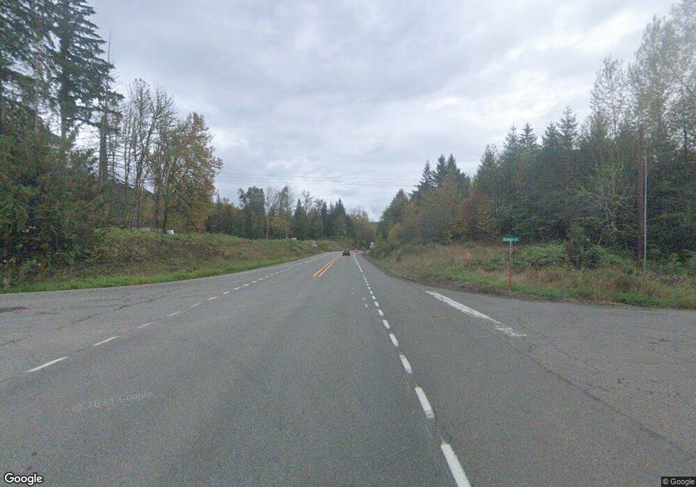
2709 Us Highway 12 Mossyrock, WA 98564
Estimated Value: $235,000 - $424,000
3
Beds
1
Bath
1,304
Sq Ft
$240/Sq Ft
Est. Value
About This Home
This home is located at 2709 Us Highway 12, Mossyrock, WA 98564 and is currently estimated at $313,000, approximately $240 per square foot. 2709 Us Highway 12 is a home with nearby schools including Mossyrock Elementary School and Mossyrock Middle/High School.
Ownership History
Date
Name
Owned For
Owner Type
Purchase Details
Closed on
Mar 19, 2020
Sold by
Fannie Mae
Bought by
Jones Lance W and Rochester Julie J
Current Estimated Value
Purchase Details
Closed on
Jan 21, 2020
Sold by
Jones Lance W and Rochester Julie J
Bought by
Jones Lance W and Rochester Julie J
Purchase Details
Closed on
Nov 5, 2019
Sold by
Citi Bank Na
Bought by
Federal National Mortgage Association
Purchase Details
Closed on
Oct 8, 2019
Sold by
Estate Of John W Jones
Bought by
Cit Bank Na
Purchase Details
Closed on
Jan 25, 2019
Sold by
Estate Of John W Jones
Bought by
Cit Bank Na
Create a Home Valuation Report for This Property
The Home Valuation Report is an in-depth analysis detailing your home's value as well as a comparison with similar homes in the area
Home Values in the Area
Average Home Value in this Area
Purchase History
| Date | Buyer | Sale Price | Title Company |
|---|---|---|---|
| Jones Lance W | $67,000 | Lewis County Title | |
| Jones Lance W | -- | None Available | |
| Federal National Mortgage Association | $145,000 | None Available | |
| Cit Bank Na | $145,000 | None Available | |
| Cit Bank Na | $171,895 | None Available |
Source: Public Records
Tax History Compared to Growth
Tax History
| Year | Tax Paid | Tax Assessment Tax Assessment Total Assessment is a certain percentage of the fair market value that is determined by local assessors to be the total taxable value of land and additions on the property. | Land | Improvement |
|---|---|---|---|---|
| 2024 | $1,883 | $288,500 | $132,200 | $156,300 |
| 2023 | $1,815 | $268,800 | $97,400 | $171,400 |
| 2022 | $1,794 | $210,000 | $77,200 | $132,800 |
| 2021 | $1,712 | $210,000 | $77,200 | $132,800 |
| 2020 | $1,708 | $183,800 | $64,300 | $119,500 |
| 2019 | $1,608 | $170,700 | $64,300 | $106,400 |
| 2018 | $1,507 | $154,000 | $57,400 | $96,600 |
| 2017 | $1,401 | $133,300 | $52,400 | $80,900 |
| 2016 | $1,475 | $125,000 | $54,000 | $71,000 |
| 2015 | -- | $131,000 | $60,000 | $71,000 |
| 2013 | -- | $135,000 | $60,000 | $75,000 |
Source: Public Records
Map
Nearby Homes
- 2833a U S 12 Unit A
- 245 Stowell Rd
- 170 Gershick Rd
- 152 Fuller Rd
- 2958 U S 12
- 401 Huntting Rd
- 132 Salem Plant Rd
- 109 View Point Dr
- 2484 Spencer Rd
- 0 View Ridge Rd Unit NWM2434545
- 171 Barrier Dr
- 0 Spencer Rd Unit 656997086
- 0 Spencer Rd Unit NWM2430880
- 563 Shanklin Rd
- 173 Beach Rd
- 147 E Zola Dr
- 304 Winston Creek Rd Unit B10L3
- 927 Cinebar Rd
- 168 Lakeside Dr
- 304 Winston Creek Rd B10l2
- 2699 Us Highway 12
- 2699 Us Highway 12
- 2725 Us Highway 12
- 2725 U S 12
- 2725 Hwy 12
- 2684 Us Highway 12
- 2668 U S 12
- 146 Fawnhill Dr
- 123 Fischer Rd
- 129 Fawnhill Dr
- 137 Fawnhill Dr
- 193 Fawnhill Dr
- 180 Fawnhill Dr
- 2527 Us Highway 12
- 0 XXX Fischer Rd
- 170 Fischer Rd
- 18 Salkum Heights Dr
- 31 Salkum Rd
- 0 Salkum Heights Dr
- 0 Salkum Rd
