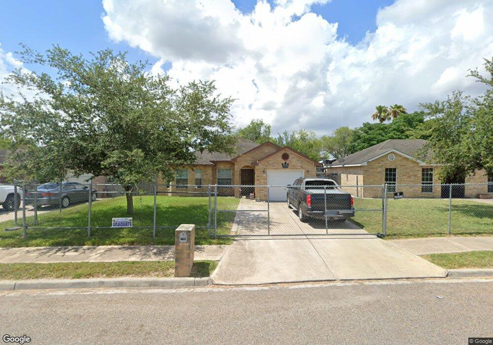
2709 W Coast Dr Weslaco, TX 78596
Estimated Value: $170,000 - $179,000
3
Beds
2
Baths
1,258
Sq Ft
$139/Sq Ft
Est. Value
About This Home
This home is located at 2709 W Coast Dr, Weslaco, TX 78596 and is currently estimated at $174,342, approximately $138 per square foot. 2709 W Coast Dr is a home located in Hidalgo County with nearby schools including Sam Houston Elementary School, Central Middle School, and Weslaco High School.
Ownership History
Date
Name
Owned For
Owner Type
Purchase Details
Closed on
Feb 14, 2007
Sold by
Grande Valley Homes Llc
Bought by
Trevino Patricia and Trevino Guillermo
Current Estimated Value
Home Financials for this Owner
Home Financials are based on the most recent Mortgage that was taken out on this home.
Original Mortgage
$85,400
Outstanding Balance
$51,406
Interest Rate
6.25%
Mortgage Type
Seller Take Back
Estimated Equity
$122,936
Create a Home Valuation Report for This Property
The Home Valuation Report is an in-depth analysis detailing your home's value as well as a comparison with similar homes in the area
Home Values in the Area
Average Home Value in this Area
Purchase History
| Date | Buyer | Sale Price | Title Company |
|---|---|---|---|
| Trevino Patricia | -- | Dizdar Development Llc |
Source: Public Records
Mortgage History
| Date | Status | Borrower | Loan Amount |
|---|---|---|---|
| Open | Trevino Patricia | $85,400 |
Source: Public Records
Tax History Compared to Growth
Tax History
| Year | Tax Paid | Tax Assessment Tax Assessment Total Assessment is a certain percentage of the fair market value that is determined by local assessors to be the total taxable value of land and additions on the property. | Land | Improvement |
|---|---|---|---|---|
| 2025 | $1,516 | $144,839 | -- | -- |
| 2024 | $1,516 | $131,672 | -- | -- |
| 2023 | $2,224 | $119,702 | $0 | $0 |
| 2022 | $2,048 | $108,820 | $0 | $0 |
| 2021 | $1,902 | $98,927 | $25,301 | $82,421 |
| 2020 | $1,791 | $89,934 | $17,771 | $72,163 |
| 2019 | $1,742 | $83,670 | $16,265 | $67,405 |
| 2018 | $1,779 | $85,256 | $16,265 | $68,991 |
| 2017 | $1,789 | $86,049 | $16,265 | $69,784 |
| 2016 | $1,805 | $86,842 | $16,265 | $70,577 |
| 2015 | $1,535 | $87,635 | $16,265 | $71,370 |
Source: Public Records
Map
Nearby Homes
- 2915 Roselawn Dr
- 401 Amber Dr
- 3001 W 7th St
- 3131 Stark Rd
- 3098 Briggs Rd Unit B
- 3098 Briggs Rd Unit A
- 3209 Briggs Rd
- 3098 Briggs Rd Unit D
- 3098 Briggs Rd Unit C
- 3085 Briggs Rd
- 3208 Briggs St Unit B
- 3208 Briggs St Unit 2
- 3208 Briggs St Unit 1
- 10 N Briggs Rd
- 0 Briggs Rd Unit 457685
- 3164 Briggs St Unit A1
- 3164 Briggs St Unit B1
- 206 Meadow Lark Cir
- 3203 Whitetail Dr
- 2614 Blue Jay St
- 2711 W Coast Dr
- 2707 W Coast Dr
- 2705 W Coast Dr
- 2801 W Coast Dr
- 2703 W Coast Dr
- 600 Island St
- 2803 W Coast Dr
- 2820 Roselawn Dr
- 603 Amber Dr
- 2701 W Coast Dr
- 510 Island St
- 2908 Roselawn Dr
- 2904 Roselawn Dr
- 601 Amber Dr
- 601 Island St
- 2611 W Coast Dr
- 511 Island St
- 2912 Roselawn Dr
- 2807 W Coast Dr
- 509 Amber Dr