2709 Whiddon Rowan Rd Sparks, GA 31647
Estimated Value: $108,000 - $149,000
--
Bed
1
Bath
1,273
Sq Ft
$96/Sq Ft
Est. Value
About This Home
This home is located at 2709 Whiddon Rowan Rd, Sparks, GA 31647 and is currently estimated at $122,166, approximately $95 per square foot. 2709 Whiddon Rowan Rd is a home located in Cook County with nearby schools including Cook Primary School, Cook Elementary School, and Cook County Middle School.
Ownership History
Date
Name
Owned For
Owner Type
Purchase Details
Closed on
Jan 15, 2024
Sold by
Arnold Doris F
Bought by
Arnold Doris F and Denham Landra Nicole
Current Estimated Value
Purchase Details
Closed on
Oct 2, 2012
Sold by
Arnold Larry W
Bought by
Arnold Larry W and Arnold Doris F
Purchase Details
Closed on
Oct 19, 2011
Sold by
Arnold Larry W
Bought by
Harrell Landra Nichole
Create a Home Valuation Report for This Property
The Home Valuation Report is an in-depth analysis detailing your home's value as well as a comparison with similar homes in the area
Home Values in the Area
Average Home Value in this Area
Purchase History
| Date | Buyer | Sale Price | Title Company |
|---|---|---|---|
| Arnold Doris F | -- | -- | |
| Arnold Larry W | -- | -- | |
| Harrell Landra Nichole | -- | -- |
Source: Public Records
Tax History Compared to Growth
Tax History
| Year | Tax Paid | Tax Assessment Tax Assessment Total Assessment is a certain percentage of the fair market value that is determined by local assessors to be the total taxable value of land and additions on the property. | Land | Improvement |
|---|---|---|---|---|
| 2024 | $408 | $30,608 | $24,013 | $6,595 |
| 2023 | $383 | $29,908 | $24,013 | $5,895 |
| 2022 | $376 | $27,335 | $21,440 | $5,895 |
| 2021 | $768 | $26,551 | $21,440 | $5,111 |
| 2020 | $768 | $26,551 | $21,440 | $5,111 |
| 2019 | $768 | $26,551 | $21,440 | $5,111 |
| 2018 | $768 | $26,551 | $21,440 | $5,111 |
| 2017 | $350 | $26,551 | $21,440 | $5,111 |
| 2016 | $274 | $26,551 | $21,440 | $5,111 |
| 2015 | $330 | $28,718 | $21,440 | $7,278 |
| 2014 | $330 | $28,718 | $21,440 | $7,278 |
| 2013 | -- | $28,718 | $21,440 | $7,278 |
Source: Public Records
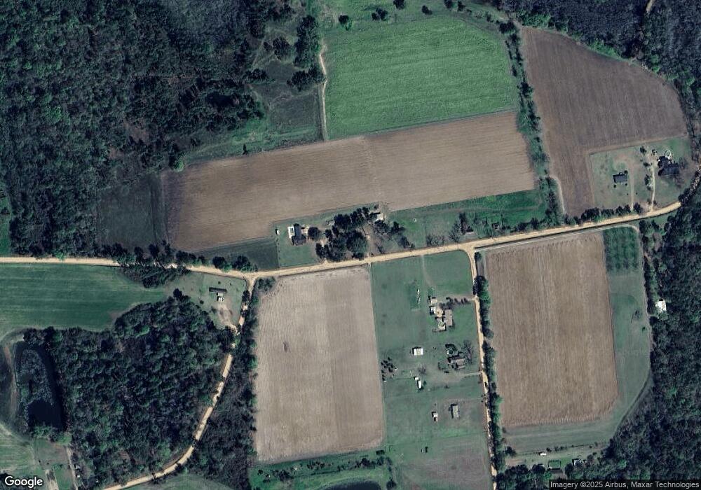
Map
Nearby Homes
- 8422 Massee Post Rd
- 0 Barneyville Rd
- 11010 Barneyville Rd
- 15150 U S 41
- 801 Broad St
- 4650 Georgia 125
- 137 Hood Dr
- 77 S Bobby St
- 320 E Central Ave
- 284 Barrett Rd
- 411 S Robinson St
- 1296 Boone Rd
- 83 W Gray Ave
- 105 Orchard Cir
- 2603 Dianne St
- 2503 Dianne St
- 2302 Thomas St
- 103 N College St
- 349 Sand Ridge Ln
- 1377 Hutchinson Parrish Rd
- 2649 Whiddon Rowan Rd
- 2817 Whiddon Rowan Rd
- 1465 Ed Taylor Rd
- 1411 Ed Taylor Rd
- 1537 Tom Sumner Rd
- 1353 Ed Taylor Rd
- 2985 Whiddon Rowan Rd
- 1286 Ed Taylor Rd
- 1157 Ed Taylor Rd
- 1265 Tom Sumner Rd
- 1045 Ed Taylor Rd
- 2569 Julian Joiner Rd
- 1090 Ed Taylor Rd
- 3610 Whiddon Rowan Rd
- 899 Ed Taylor Rd
- 1882 Daniel Hester Rd
- 1931 Daniel Hester Rd
- 2105 Julian Joiner Rd
- 1625 Daniel Hester Rd
- 2005 Julian Joiner Rd