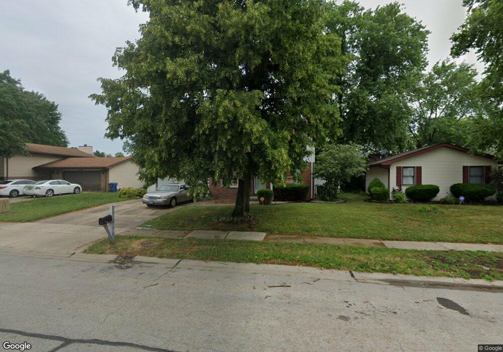
2709 York Rd Springfield, IL 62703
Estimated Value: $146,000 - $182,649
Studio
--
Bath
--
Sq Ft
9,583
Sq Ft Lot
About This Home
This home is located at 2709 York Rd, Springfield, IL 62703 and is currently estimated at $168,162. 2709 York Rd is a home located in Sangamon County with nearby schools including Laketown Elementary School, Jefferson Middle School, and Springfield Southeast High School.
Ownership History
Date
Name
Owned For
Owner Type
Purchase Details
Closed on
Jun 23, 2015
Current Estimated Value
Purchase Details
Closed on
Dec 20, 2007
Purchase Details
Closed on
Mar 12, 2007
Purchase Details
Closed on
Jul 17, 2006
Purchase Details
Closed on
Jun 23, 2006
Purchase Details
Closed on
Oct 3, 2003
Purchase Details
Closed on
Sep 13, 1999
Purchase Details
Closed on
Sep 1, 1998
Purchase Details
Closed on
Sep 29, 1994
Create a Home Valuation Report for This Property
The Home Valuation Report is an in-depth analysis detailing your home's value as well as a comparison with similar homes in the area
Purchase History
| Date | Buyer | Sale Price | Title Company |
|---|---|---|---|
| -- | -- | -- | |
| -- | $85,000 | -- | |
| -- | -- | -- | |
| -- | -- | -- | |
| -- | -- | -- | |
| -- | -- | -- | |
| -- | $92,500 | -- | |
| -- | -- | -- | |
| -- | $95,000 | -- |
Source: Public Records
Tax History
| Year | Tax Paid | Tax Assessment Tax Assessment Total Assessment is a certain percentage of the fair market value that is determined by local assessors to be the total taxable value of land and additions on the property. | Land | Improvement |
|---|---|---|---|---|
| 2024 | $3,781 | $51,013 | $9,263 | $41,750 |
| 2023 | $3,589 | $46,596 | $8,461 | $38,135 |
| 2022 | $3,423 | $44,200 | $8,026 | $36,174 |
| 2021 | $3,289 | $42,545 | $7,725 | $34,820 |
| 2020 | $3,225 | $42,609 | $7,737 | $34,872 |
| 2019 | $3,163 | $42,460 | $7,710 | $34,750 |
| 2018 | $3,063 | $42,253 | $7,672 | $34,581 |
| 2017 | $2,993 | $41,707 | $7,573 | $34,134 |
| 2016 | $2,927 | $41,099 | $7,463 | $33,636 |
| 2015 | $2,893 | $40,608 | $7,374 | $33,234 |
| 2014 | $2,846 | $40,345 | $7,326 | $33,019 |
| 2013 | $2,783 | $40,345 | $7,326 | $33,019 |
Source: Public Records
Map
Nearby Homes
- 2420 Mayfair Rd
- 2875 Taylor Ave
- 2632 Steiler Place
- 2906 Taylor Ave Unit 11
- 2800 Via Rosso St Unit 135
- 6 Ridge Ct Unit 1
- 3100 Butler St Unit 1833
- Lot 1 & 2 Bunn Dr
- 1800 E Stanford Ave Unit 1
- 2828 S Hoover Ave
- 2800 S Woodward St
- 2827 S 16th St
- 3301 Stanton St Unit 1
- 1622 E Cornell Ave
- 1527 Chalmers St Unit 1
- 2616 Kent Dr
- 9 Alken Ct
- 2114 S Renfro St
- 1838 S 19th St
- 2325 E Spruce St
- 2713 York Rd
- 2705 York Rd
- 2717 York Rd
- 2524 Portsmouth Cir
- 2701 York Rd
- 2701 Cheshire Rd
- 2520 Portsmouth Cir
- 2712 York Rd
- 2700 York Rd
- 2721 York Rd
- 2716 York Rd
- 2704 Cheshire Rd
- 2720 York Rd
- 2725 York Rd
- 2532 Portsmouth Cir
- 2512 Portsmouth Cir
- 2709 Cheshire Rd
- 2708 Cheshire Rd
- 2724 York Rd
- 2508 Portsmouth Cir
Your Personal Tour Guide
Ask me questions while you tour the home.