271 Allerton Rd Naugatuck, CT 06770
Estimated Value: $478,000 - $570,000
4
Beds
2
Baths
2,591
Sq Ft
$202/Sq Ft
Est. Value
About This Home
This home is located at 271 Allerton Rd, Naugatuck, CT 06770 and is currently estimated at $523,300, approximately $201 per square foot. 271 Allerton Rd is a home located in New Haven County with nearby schools including City Hill Middle School and Naugatuck High School.
Ownership History
Date
Name
Owned For
Owner Type
Purchase Details
Closed on
Feb 14, 2005
Sold by
Fonseca Manuel J and Fonseca Maria A
Bought by
Fonseca Francisco J and Fonseca Maria T
Current Estimated Value
Purchase Details
Closed on
Oct 22, 1993
Sold by
Fonseca Manuel and Fonseca Maria A
Bought by
Fonseca Francisco and Fonseca Maria T
Home Financials for this Owner
Home Financials are based on the most recent Mortgage that was taken out on this home.
Original Mortgage
$100,000
Interest Rate
6.73%
Mortgage Type
Purchase Money Mortgage
Create a Home Valuation Report for This Property
The Home Valuation Report is an in-depth analysis detailing your home's value as well as a comparison with similar homes in the area
Home Values in the Area
Average Home Value in this Area
Purchase History
| Date | Buyer | Sale Price | Title Company |
|---|---|---|---|
| Fonseca Francisco J | $10,000 | -- | |
| Fonseca Francisco | $130,000 | -- |
Source: Public Records
Mortgage History
| Date | Status | Borrower | Loan Amount |
|---|---|---|---|
| Open | Fonseca Francisco | $150,000 | |
| Closed | Fonseca Francisco | $200,000 | |
| Previous Owner | Fonseca Francisco | $100,000 |
Source: Public Records
Tax History
| Year | Tax Paid | Tax Assessment Tax Assessment Total Assessment is a certain percentage of the fair market value that is determined by local assessors to be the total taxable value of land and additions on the property. | Land | Improvement |
|---|---|---|---|---|
| 2025 | $12,066 | $303,240 | $36,540 | $266,700 |
| 2024 | $12,672 | $303,240 | $36,540 | $266,700 |
| 2023 | $13,570 | $303,240 | $36,540 | $266,700 |
| 2022 | $11,415 | $239,050 | $38,840 | $200,210 |
| 2021 | $11,415 | $239,050 | $38,840 | $200,210 |
| 2020 | $11,415 | $239,050 | $38,840 | $200,210 |
| 2019 | $11,295 | $239,050 | $38,840 | $200,210 |
| 2018 | $10,457 | $216,270 | $49,670 | $166,600 |
| 2017 | $10,500 | $216,270 | $49,670 | $166,600 |
| 2016 | $10,310 | $216,270 | $49,670 | $166,600 |
| 2015 | $9,855 | $216,270 | $49,670 | $166,600 |
| 2014 | $9,745 | $216,270 | $49,670 | $166,600 |
| 2012 | $9,342 | $278,460 | $56,430 | $222,030 |
Source: Public Records
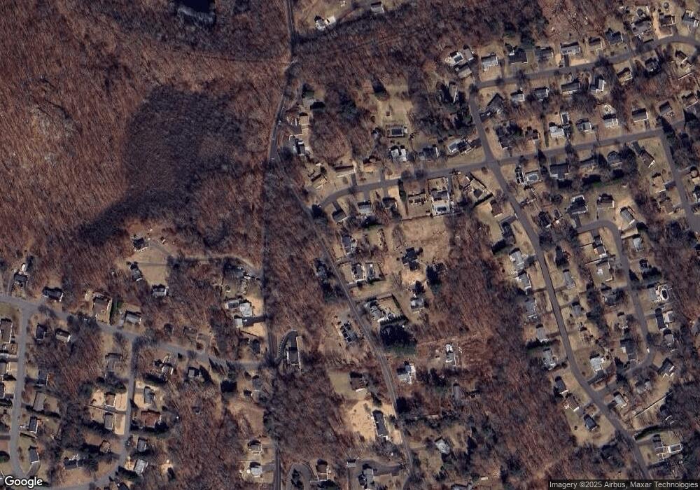
Map
Nearby Homes
- 75 Allerton Rd
- 54 Bridle Trail Dr
- 97 Timothy Rd
- 36 Stoneybrook Rd
- 18 Partridgetown Rd
- 57 Mistywood Ln
- 233 Conrad St
- 72 Hilltop Rd
- 309 N Hoadley St
- 0 Westover Dr
- 92 Birch Ln
- 30 Coach Cir Unit 1
- 146 Coach Cir Unit 3
- 51 Joseph Rd
- 48 Round Tree Dr Unit 5
- 167 N Hoadley St
- 671 Rubber Ave
- 89 N Hoadley St
- 16 Phyllis Dr
- 0 Field St Unit 170385250
- 267 Allerton Rd
- 0 Allerton Rd Unit 99138728
- 180 Heritage Dr
- 170 Heritage Dr
- 154 Heritage Dr
- 266 Allerton Rd
- 197 Allerton Rd
- 215 Allerton Rd
- 142 Heritage Dr
- 181 Heritage Dr
- 199 Allerton Rd
- 167 Heritage Dr
- 145 Heritage Dr
- 195 Allerton Rd
- 216 Allerton Rd
- 130 Heritage Dr
- 319 Allerton Rd
- 157 Heritage Dr
- 319 Allerton Rd
- 133 Heritage Dr
Your Personal Tour Guide
Ask me questions while you tour the home.