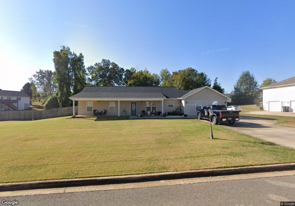
271 Andrew Dr Weaver, AL 36277
Estimated Value: $212,000 - $261,000
3
Beds
2
Baths
2,044
Sq Ft
$118/Sq Ft
Est. Value
About This Home
This home is located at 271 Andrew Dr, Weaver, AL 36277 and is currently estimated at $242,150, approximately $118 per square foot. 271 Andrew Dr is a home located in Calhoun County with nearby schools including Weaver Elementary School, Weaver High School, and Jacksonville Christian Academy.
Ownership History
Date
Name
Owned For
Owner Type
Purchase Details
Closed on
May 18, 2015
Sold by
Tillison Matthew
Bought by
Key Ryan James
Current Estimated Value
Home Financials for this Owner
Home Financials are based on the most recent Mortgage that was taken out on this home.
Original Mortgage
$130,158
Outstanding Balance
$100,091
Interest Rate
3.79%
Mortgage Type
New Conventional
Estimated Equity
$142,059
Purchase Details
Closed on
Mar 8, 2012
Sold by
Calhoun Development Co Inc
Bought by
Dunn Donny L and Dunn Maegan W
Purchase Details
Closed on
Aug 26, 2008
Sold by
Jeffers Construction Llc
Bought by
Tillison Matthew
Create a Home Valuation Report for This Property
The Home Valuation Report is an in-depth analysis detailing your home's value as well as a comparison with similar homes in the area
Home Values in the Area
Average Home Value in this Area
Purchase History
| Date | Buyer | Sale Price | Title Company |
|---|---|---|---|
| Key Ryan James | $130,158 | -- | |
| Dunn Donny L | -- | -- | |
| Tillison Matthew | $1,000 | -- |
Source: Public Records
Mortgage History
| Date | Status | Borrower | Loan Amount |
|---|---|---|---|
| Open | Key Ryan James | $130,158 |
Source: Public Records
Tax History
| Year | Tax Paid | Tax Assessment Tax Assessment Total Assessment is a certain percentage of the fair market value that is determined by local assessors to be the total taxable value of land and additions on the property. | Land | Improvement |
|---|---|---|---|---|
| 2025 | $684 | $16,340 | $0 | $0 |
| 2024 | $684 | $18,740 | $3,000 | $15,740 |
| 2023 | $792 | $18,152 | $2,700 | $15,452 |
| 2022 | $700 | $16,682 | $2,700 | $13,982 |
| 2021 | $559 | $13,550 | $2,700 | $10,850 |
| 2020 | $588 | $14,202 | $2,700 | $11,502 |
| 2019 | $568 | $13,550 | $2,700 | $10,850 |
| 2018 | $586 | $14,160 | $0 | $0 |
| 2017 | $760 | $12,660 | $0 | $0 |
| 2016 | $519 | $12,660 | $0 | $0 |
| 2013 | -- | $12,660 | $0 | $0 |
Source: Public Records
Map
Nearby Homes
- 242 Andrew Dr
- 55 Warren Dr
- 0 Peaceburg Rd Unit 21429801
- 1509 Maple Dr
- 0 Hilltop Rd
- 0 Woodland Ct
- 1024 Russell Dr
- 739 Waterford Way
- 1215 Oakdale Cir
- 634 Waterford Way
- 42 Inverness St
- 1102 Bonnie Dr
- 552 Waterford Way
- 001 Gunnells Rd
- Gunnels Dr
- 809 Cedar Springs Rd
- 762 Timber Way
- 805 Jacksonville St
- 250 Waterford Way
- 718 Bain Ave
- 287 Andrew Dr
- 287 Andrews Ave
- 311 Wilson Way
- 319 Andrew Dr
- 279 Wilson Way
- 270 Andrew Dr
- 270 Andrew Dr Unit 86
- 286 Andrew Dr
- 286 Andrew Dr Unit 85
- 349 Wilson Way
- 304 Andriveew Dr
- 304 Andrew Dr
- 157 Zoe Ct
- 265 Wilson Way
- 343 Andrew Dr
- 324 Andrew Dr
- 280 Wilson Way
- 324 Wilson Way
- 108 Bailey Rd
- 147 Zoe Ct
Your Personal Tour Guide
Ask me questions while you tour the home.