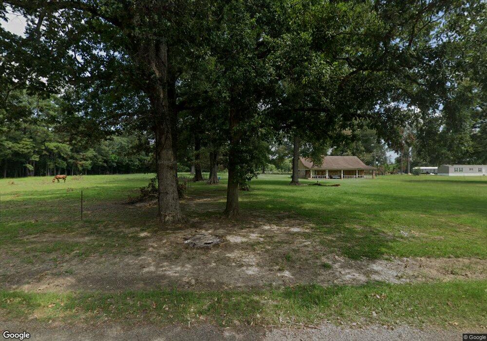
271 Angus Rd Monroe, LA 71202
Estimated Value: $104,000 - $181,061
Studio
--
Bath
2,000
Sq Ft
$68/Sq Ft
Est. Value
About This Home
This home is located at 271 Angus Rd, Monroe, LA 71202 and is currently estimated at $136,515, approximately $68 per square foot. 271 Angus Rd is a home located in Ouachita Parish with nearby schools including Robinson Elementary School, Richwood Junior High School, and Richwood High School.
Ownership History
Date
Name
Owned For
Owner Type
Purchase Details
Closed on
Sep 29, 2010
Sold by
Reynolds Family Trust
Bought by
Beard Starley Faye
Current Estimated Value
Home Financials for this Owner
Home Financials are based on the most recent Mortgage that was taken out on this home.
Original Mortgage
$105,699
Outstanding Balance
$68,517
Interest Rate
4.39%
Mortgage Type
New Conventional
Estimated Equity
$67,998
Purchase Details
Closed on
Jan 27, 2007
Sold by
Baker Bessie E M Kuhn and Baker James K
Bought by
Kuhn Ii Willie Durwood and Kuhn Malcolm George
Create a Home Valuation Report for This Property
The Home Valuation Report is an in-depth analysis detailing your home's value as well as a comparison with similar homes in the area
Purchase History
We collect this data history from publicly available records. To have your information removed, we recommend requesting removal directly through your county’s website.
| Date | Buyer | Sale Price | Title Company |
|---|---|---|---|
| Beard Starley Faye | $118,000 | None Available | |
| Kuhn Ii Willie Durwood | -- | None Available |
Source: Public Records
Mortgage History
We collect this data history from publicly available records. To have your information removed, we recommend requesting removal directly through your county’s website.
| Date | Status | Borrower | Loan Amount |
|---|---|---|---|
| Open | Beard Starley Faye | $105,699 |
Source: Public Records
Tax History
| Year | Tax Paid | Tax Assessment Tax Assessment Total Assessment is a certain percentage of the fair market value that is determined by local assessors to be the total taxable value of land and additions on the property. | Land | Improvement |
|---|---|---|---|---|
| 2025 | $391 | $10,410 | $498 | $9,912 |
| 2024 | $391 | $10,410 | $498 | $9,912 |
| 2023 | $394 | $10,394 | $482 | $9,912 |
| 2022 | $1,345 | $10,394 | $482 | $9,912 |
| 2021 | $1,357 | $10,394 | $482 | $9,912 |
| 2020 | $1,357 | $10,394 | $482 | $9,912 |
| 2019 | $1,336 | $10,389 | $477 | $9,912 |
| 2018 | $354 | $10,389 | $477 | $9,912 |
| 2017 | $1,307 | $10,389 | $477 | $9,912 |
| 2016 | $1,273 | $10,376 | $464 | $9,912 |
| 2015 | $352 | $10,376 | $464 | $9,912 |
| 2014 | $352 | $10,376 | $464 | $9,912 |
| 2013 | $351 | $10,376 | $464 | $9,912 |
Source: Public Records
Map
Nearby Homes
- 0 Rosewood Dr Unit 217350
- 0 Rosewood Dr Unit 217351
- 0 Rosewood Dr Unit 214145
- 110 Claire Bear Ln
- 108 Claire Bear Ln
- 112 Claire Bear Ln
- 59 Charmingdale Dr N Unit 74 charmingdale, 330
- 00 Miller Rd
- 207 Harmon Johnson Rd
- 0 Highway 165 Bypass Unit 217758
- 0 Highway 165 Bypass Unit 2.57 ACRES Highway 1
- 0 Highway 165 Bypass Unit 214832
- 0 Highway 165 Bypass Unit Highway 15 211253
- 0 Highway 165 Bypass Unit Highway 15 211249
- 0 Highway 165 Bypass Unit 214833
- 3419 Highway 165 None
- 3252 Highway 165 S
- 788 Prairie Rd
- Gourd Bayou Road Lot Unit Wp001
- 206 Keeble Dr
- 305 Angus Rd
- 323 Angus Rd
- 284 Hereford Rd
- 365 Angus Rd
- 316 Hereford Rd
- 130 Angus Rd
- 338 Hereford Rd
- 224 Hereford Rd
- 0 Hereford Rd
- 374 Hereford Rd
- 374 1/2 Hereford Rd
- 368 Angus Rd
- 117 Angus Rd
- 190 Hereford Rd
- 1704 Harmon Johnson Rd
- 1694 Harmon Johnson Rd Unit 1704 HARMON JOHNSON
- 1762 Harmon Johnson Rd
- 447 Angus Rd
- 123 Sycamore Ln
- 157 Hereford Rd
Your Personal Tour Guide
Ask me questions while you tour the home.