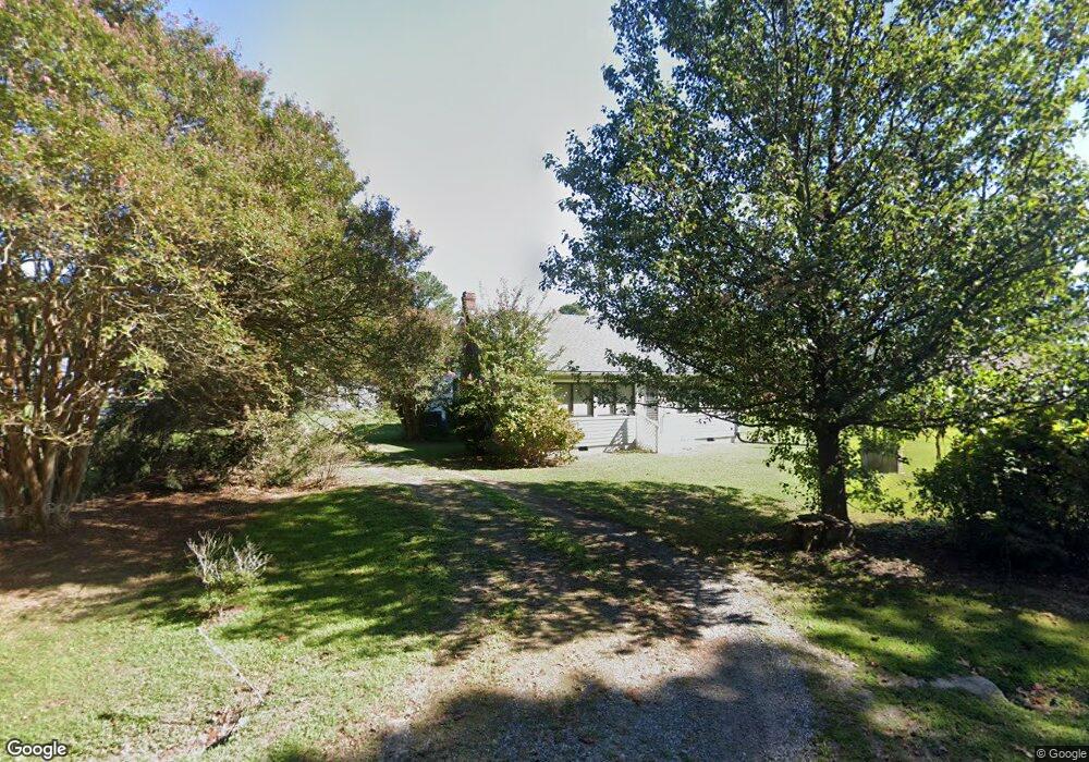
271 Ballast Point Rd Hudgins, VA 23076
Estimated Value: $232,000 - $322,000
2
Beds
2
Baths
1,568
Sq Ft
$175/Sq Ft
Est. Value
About This Home
This home is located at 271 Ballast Point Rd, Hudgins, VA 23076 and is currently estimated at $274,591, approximately $175 per square foot. 271 Ballast Point Rd is a home located in Mathews County with nearby schools including Thomas Hunter Middle School and Mathews High School.
Ownership History
Date
Name
Owned For
Owner Type
Purchase Details
Closed on
Sep 5, 2017
Sold by
Martin Frankie B and Martin Nancy Rita
Bought by
Gentry Gerald Preston
Current Estimated Value
Home Financials for this Owner
Home Financials are based on the most recent Mortgage that was taken out on this home.
Original Mortgage
$126,000
Outstanding Balance
$105,304
Interest Rate
3.93%
Mortgage Type
New Conventional
Estimated Equity
$169,287
Create a Home Valuation Report for This Property
The Home Valuation Report is an in-depth analysis detailing your home's value as well as a comparison with similar homes in the area
Home Values in the Area
Average Home Value in this Area
Purchase History
| Date | Buyer | Sale Price | Title Company |
|---|---|---|---|
| Gentry Gerald Preston | $125,000 | Sage Title Group Llc |
Source: Public Records
Mortgage History
| Date | Status | Borrower | Loan Amount |
|---|---|---|---|
| Open | Gentry Gerald Preston | $126,000 |
Source: Public Records
Tax History Compared to Growth
Tax History
| Year | Tax Paid | Tax Assessment Tax Assessment Total Assessment is a certain percentage of the fair market value that is determined by local assessors to be the total taxable value of land and additions on the property. | Land | Improvement |
|---|---|---|---|---|
| 2025 | $948 | $158,000 | $26,300 | $131,700 |
| 2024 | $885 | $158,000 | $26,300 | $131,700 |
| 2023 | $885 | $158,000 | $26,300 | $131,700 |
| 2022 | $824 | $128,800 | $26,300 | $102,500 |
| 2021 | $831 | $128,800 | $26,300 | $102,500 |
| 2020 | $831 | $128,800 | $26,300 | $102,500 |
| 2019 | $831 | $128,800 | $26,300 | $102,500 |
| 2018 | $741 | $128,800 | $26,300 | $102,500 |
| 2017 | $480 | $83,400 | $26,300 | $57,100 |
| 2015 | $5,978 | $0 | $0 | $0 |
| 2014 | $5,978 | $110,700 | $43,000 | $67,700 |
| 2013 | $520 | $110,700 | $43,000 | $67,700 |
Source: Public Records
Map
Nearby Homes
- 0000 Old Ferry Rd
- Lot65A Old Ferry Rd
- Lot 66 Old Ferry Rd
- 2208 Old Ferry Rd
- 2210 Old Ferry Rd
- 936 Old Ferry Rd
- 894 Old Ferry Rd
- 143 Callis Wharf Rd
- 1+AC Risby Town Rd
- 1071 Gum Thicket Rd
- 567 Seaford Ln
- 1697 Old Ferry Rd
- 1694 Old Ferry Rd
- 1717 Old Ferry Rd
- 558 Seaford Ln
- 050 Moon Dr
- 2485 Old Ferry Rd
- 2Lots-10171&10172 Queens Creek Rd
- 1676 Fitchetts Wharf Rd
- 1678 Fitchetts Wharf Rd
- 295 Ballast Point Rd
- 24 Lanes Creek Rd
- 227 Ballast Point Rd
- 253 Ballast Point Rd
- 291 Ballast Point Rd
- 324 Lanes Creek Rd
- 376 Ballast Point Rd
- 49 Hudgins Point Ln Unit 49
- 385 Ballast Point Rd
- 55 Hudgins Point Ln
- 366 Ballast Point Rd
- 366 Ballast Point Rd
- 344 Ballast Point Rd
- 185 Ballast Point Rd
- 77 Hudgins Point Ln
- 0 Ballast Point Rd
- 706 Ballast Point Rd
- 54 Lanes Creek Rd
- 84 Lanes Creek Rd
- 212 Reeves Rd