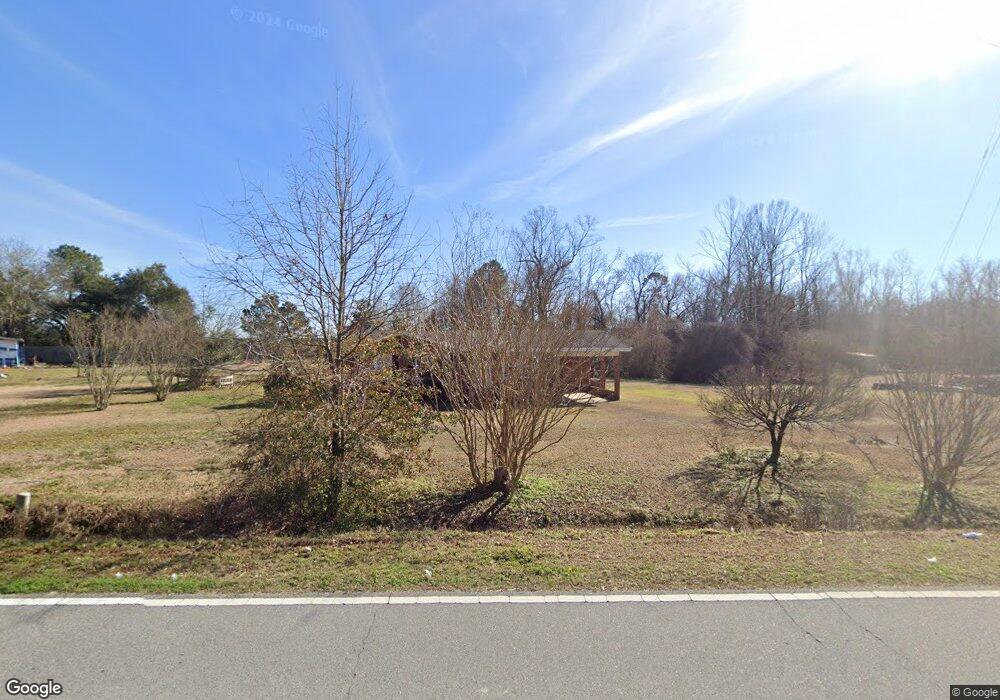
271 Banks Bridge Rd Richlands, NC 28574
Estimated Value: $155,556 - $265,000
3
Beds
1
Bath
1,507
Sq Ft
$146/Sq Ft
Est. Value
About This Home
This home is located at 271 Banks Bridge Rd, Richlands, NC 28574 and is currently estimated at $220,639, approximately $146 per square foot. 271 Banks Bridge Rd is a home located in Onslow County with nearby schools including Richlands Elementary School, Trexler Middle School, and Richlands High School.
Ownership History
Date
Name
Owned For
Owner Type
Purchase Details
Closed on
Jul 26, 2005
Sold by
Deutsche Bank National Trust Company
Bought by
Whiteman Steven D and Whiteman Christina M
Current Estimated Value
Purchase Details
Closed on
Jul 24, 2005
Sold by
Chase Home Finance Llc
Bought by
Deutsche Bank National Trust Co and Bankers Trust Company Of California N A
Purchase Details
Closed on
Jun 7, 1978
Bought by
Humphrey Sadie B
Create a Home Valuation Report for This Property
The Home Valuation Report is an in-depth analysis detailing your home's value as well as a comparison with similar homes in the area
Home Values in the Area
Average Home Value in this Area
Purchase History
| Date | Buyer | Sale Price | Title Company |
|---|---|---|---|
| Whiteman Steven D | $85,500 | None Available | |
| Deutsche Bank National Trust Co | -- | None Available | |
| Humphrey Sadie B | -- | -- |
Source: Public Records
Tax History Compared to Growth
Tax History
| Year | Tax Paid | Tax Assessment Tax Assessment Total Assessment is a certain percentage of the fair market value that is determined by local assessors to be the total taxable value of land and additions on the property. | Land | Improvement |
|---|---|---|---|---|
| 2025 | $483 | $57,450 | $32,690 | $24,760 |
| 2024 | $376 | $57,450 | $32,690 | $24,760 |
| 2023 | $376 | $57,450 | $32,690 | $24,760 |
| 2022 | $376 | $57,450 | $32,690 | $24,760 |
| 2021 | $306 | $43,370 | $24,690 | $18,680 |
| 2020 | $306 | $43,370 | $24,690 | $18,680 |
| 2019 | $306 | $43,370 | $24,690 | $18,680 |
| 2018 | $308 | $84,780 | $24,690 | $60,090 |
| 2017 | $303 | $87,180 | $24,690 | $62,490 |
| 2016 | $303 | $44,935 | $0 | $0 |
| 2015 | -- | $0 | $0 | $0 |
| 2014 | $303 | $44,935 | $0 | $0 |
Source: Public Records
Map
Nearby Homes
- 580 Koonce Fork Rd
- 722 Greenwich Place
- Plan 1522 at Waverly Place
- Plan 1830 at Waverly Place
- Plan 2604 at Waverly Place
- Plan 1727 at Waverly Place
- Plan 1634 at Waverly Place
- 751 Greenwich Place
- Plan 1434 at Waverly Place
- Plan 3105 at Waverly Place
- 745 Greenwich Place
- 749 Greenwich Place
- 601 Central Park Way
- 226 Beulaville Hwy
- 149 Huffmantown Rd
- 1070 Gregory Fork Rd
- 978 Kinston Hwy
- 0 Remington Way
- 100 Buckhaven Dr
- 202 Quarry Trail
- 269 Banks Bridge Rd
- 267 Banks Bridge Rd
- 270 Banks Bridge Rd
- 281 Banks Bridge
- 261 Banks Bridge Rd
- 262 Banks Bridge Rd
- 252 Banks Bridge Rd
- 246 Banks Bridge Rd
- 658 Gregory Fork Rd
- 708 Gregory Fork Rd
- 664 Gregory Fork Rd
- 714 Gregory Fork Rd
- 693 Gregory Fork Rd
- 213 Banks Bridge Rd
- 724 Gregory Fork Rd
- 207 Banks Bridge Rd
- 715 Gregory Fork Rd
- 648 Gregory Fork Rd
- 201 Banks Bridge Rd
- 640 Gregory Fork Rd