271 Blacksmith Rd Cedartown, GA 30125
Estimated Value: $185,000 - $263,000
2
Beds
1
Bath
1,100
Sq Ft
$194/Sq Ft
Est. Value
About This Home
This home is located at 271 Blacksmith Rd, Cedartown, GA 30125 and is currently estimated at $213,755, approximately $194 per square foot. 271 Blacksmith Rd is a home located in Polk County.
Ownership History
Date
Name
Owned For
Owner Type
Purchase Details
Closed on
Nov 14, 2000
Sold by
Daniel Gregory Mack
Bought by
Campbell Arthur Joe and Willie Mae
Current Estimated Value
Purchase Details
Closed on
Jan 23, 1992
Sold by
Short Rhonda D Admin
Bought by
Daniel Gregory M
Purchase Details
Closed on
Dec 21, 1988
Sold by
Daniel Jesse Mack
Bought by
Daniel Mary Ann
Purchase Details
Closed on
Apr 5, 1985
Sold by
Insilco Corporation
Bought by
Daniel Jesse M
Purchase Details
Closed on
Jul 3, 1984
Sold by
Cloud Larry and Cloud Sandra
Bought by
Insilco Corporation
Purchase Details
Closed on
Dec 18, 1979
Bought by
Cloud Larry and Cloud Sandra
Create a Home Valuation Report for This Property
The Home Valuation Report is an in-depth analysis detailing your home's value as well as a comparison with similar homes in the area
Purchase History
| Date | Buyer | Sale Price | Title Company |
|---|---|---|---|
| Campbell Arthur Joe | $65,000 | -- | |
| Daniel Gregory M | -- | -- | |
| Daniel Mary Ann | $15,700 | -- | |
| Daniel Jesse M | -- | -- | |
| Insilco Corporation | -- | -- | |
| Cloud Larry | -- | -- |
Source: Public Records
Tax History
| Year | Tax Paid | Tax Assessment Tax Assessment Total Assessment is a certain percentage of the fair market value that is determined by local assessors to be the total taxable value of land and additions on the property. | Land | Improvement |
|---|---|---|---|---|
| 2025 | $1,168 | $67,991 | $12,360 | $55,631 |
| 2024 | $722 | $66,562 | $10,931 | $55,631 |
| 2023 | $403 | $48,975 | $10,931 | $38,044 |
| 2022 | $212 | $40,954 | $7,288 | $33,666 |
| 2021 | $215 | $40,954 | $7,288 | $33,666 |
| 2020 | $216 | $40,954 | $7,288 | $33,666 |
| 2019 | $904 | $40,343 | $7,288 | $33,055 |
| 2018 | $833 | $36,892 | $7,288 | $29,604 |
| 2017 | $820 | $36,892 | $7,288 | $29,604 |
| 2016 | $842 | $37,694 | $8,090 | $29,604 |
| 2015 | $848 | $37,822 | $8,090 | $29,732 |
| 2014 | $855 | $37,822 | $8,090 | $29,732 |
Source: Public Records
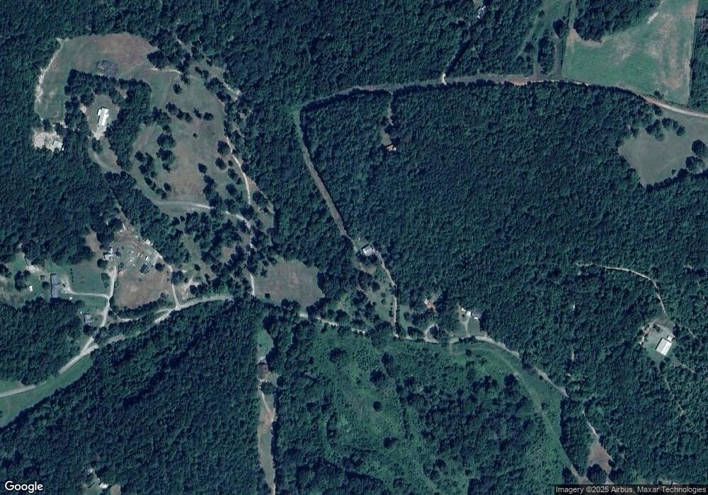
Map
Nearby Homes
- 1343 Prior Station Rd
- 0 Mountain Home Rd Unit 1020-B 10351940
- 0 Mountain Home Rd Unit 1020-C 10351948
- 0 Mountain Home Rd Unit 1020-A 10351930
- 75 Weaver Rd
- 0 Santa Claus Rd Unit 7735787
- 0 Santa Claus Rd Unit 7706526
- 0 Santa Claus Rd Unit 10676218
- 35 Harris Loop
- 3472 Prior Station Rd
- 1481 Potash Rd
- 853 Cornelius Rd
- 112 Mississippi Dr
- 80 Potash Rd
- 00 Cornelius Rd
- 1806 Piedmont Hwy
- 70 Cedar Creek Crossing
- 0 Akes Station Rd Unit 25208789
- 0 Akes Station Rd Unit 25208786
- 0 Akes Station Rd Unit 25208788
- 220 Blacksmith Rd
- 133 Blacksmith Rd
- 143 Sanders Cemetery Rd
- 2054 Prior Station Rd
- 125 Blacksmith Rd
- 179 Blacksmith Rd
- 2064 Prior Station Rd
- 373 Blacksmith Rd
- 404 Blacksmith Rd
- 129 Blacksmith Rd
- 2102 Prior Station Rd
- 2174 Prior Station Rd
- 2174 Prior Station Rd
- 425 Blacksmith Rd
- 157 Dry Creek Rd
- 51 Blacksmith Rd
- 2025 Prior Station Rd
- 291 Dry Creek Rd
- 2237 Prior Station Rd
- 105 Sanders Cemetery Rd
Your Personal Tour Guide
Ask me questions while you tour the home.