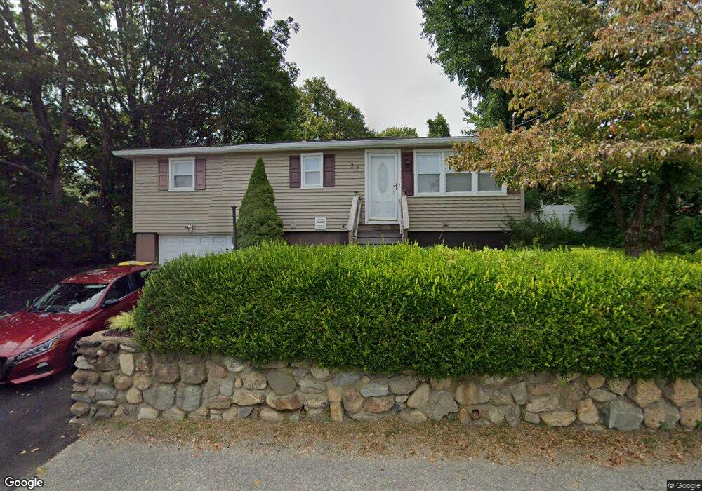
271 Bucks Hill Rd Waterbury, CT 06704
Bucks Hill NeighborhoodEstimated Value: $276,000 - $322,000
2
Beds
1
Bath
960
Sq Ft
$314/Sq Ft
Est. Value
About This Home
This home is located at 271 Bucks Hill Rd, Waterbury, CT 06704 and is currently estimated at $301,273, approximately $313 per square foot. 271 Bucks Hill Rd is a home located in New Haven County with nearby schools including Bucks Hill Elementary School, North End Middle School, and Wilby High School.
Ownership History
Date
Name
Owned For
Owner Type
Purchase Details
Closed on
Sep 2, 2004
Sold by
Prout A David A and Prout Grazina
Bought by
Smith Alfred
Current Estimated Value
Home Financials for this Owner
Home Financials are based on the most recent Mortgage that was taken out on this home.
Original Mortgage
$128,900
Outstanding Balance
$63,509
Interest Rate
6.01%
Mortgage Type
Purchase Money Mortgage
Estimated Equity
$237,764
Create a Home Valuation Report for This Property
The Home Valuation Report is an in-depth analysis detailing your home's value as well as a comparison with similar homes in the area
Home Values in the Area
Average Home Value in this Area
Purchase History
| Date | Buyer | Sale Price | Title Company |
|---|---|---|---|
| Smith Alfred | $130,000 | -- |
Source: Public Records
Mortgage History
| Date | Status | Borrower | Loan Amount |
|---|---|---|---|
| Open | Smith Alfred | $3,777 | |
| Closed | Smith Alfred | $60,000 | |
| Open | Smith Alfred | $128,900 | |
| Closed | Smith Alfred | $8,700 |
Source: Public Records
Tax History Compared to Growth
Tax History
| Year | Tax Paid | Tax Assessment Tax Assessment Total Assessment is a certain percentage of the fair market value that is determined by local assessors to be the total taxable value of land and additions on the property. | Land | Improvement |
|---|---|---|---|---|
| 2025 | $5,812 | $129,220 | $22,050 | $107,170 |
| 2024 | $6,389 | $129,220 | $22,050 | $107,170 |
| 2023 | $7,002 | $129,220 | $22,050 | $107,170 |
| 2022 | $4,335 | $72,000 | $22,060 | $49,940 |
| 2021 | $4,335 | $72,000 | $22,060 | $49,940 |
| 2020 | $4,342 | $72,110 | $22,170 | $49,940 |
| 2019 | $4,342 | $72,110 | $22,170 | $49,940 |
| 2018 | $4,342 | $72,110 | $22,170 | $49,940 |
| 2017 | $4,581 | $76,090 | $22,160 | $53,930 |
| 2016 | $4,581 | $76,090 | $22,160 | $53,930 |
| 2015 | $4,430 | $76,090 | $22,160 | $53,930 |
| 2014 | $4,430 | $76,090 | $22,160 | $53,930 |
Source: Public Records
Map
Nearby Homes
- 119 Lincolndale Dr
- 64 Deerwood Ln Unit 10
- 64 Deerwood Ln Unit 2
- 45 Fieldstream Dr
- 8 Hayfield Rd
- 36 Randall Place
- 79 Fieldstone Rd
- 245 Montoe Rd
- 0 Goff St
- 0 Montoe Rd
- 474 Chestnut Hill Ave
- 440 Chestnut Hill Ave
- 20 Society Hill Rd
- 189 Fieldwood Rd
- 123 Chipper Rd
- 267 Fieldwood Rd
- 15 Yorktown Ridge Unit Lot 2
- 241 Judith Ln Unit 2
- 0 Spindle Hill Rd Unit 24062265
- 0 Grassy Hill Rd Unit 24070167
- 277 Bucks Hill Rd
- 263 Bucks Hill Rd
- 268 Bucks Hill Rd
- 260 Bucks Hill Rd
- 288 Bucks Hill Rd
- 21 Buckland Dr
- 299 Bucks Hill Rd
- 252 Bucks Hill Rd
- 22 Buckland Dr
- 31 Buckland Dr
- 247 Bucks Hill Rd
- 246 Bucks Hill Rd
- 298 Bucks Hill Rd
- 41 Buckland Dr
- 6 Hillsdale Ave
- 239 Bucks Hill Rd
- 240 Bucks Hill Rd
- 49 Buckland Dr
- 313 Bucks Hill Rd
- 11 Hillsdale Ave