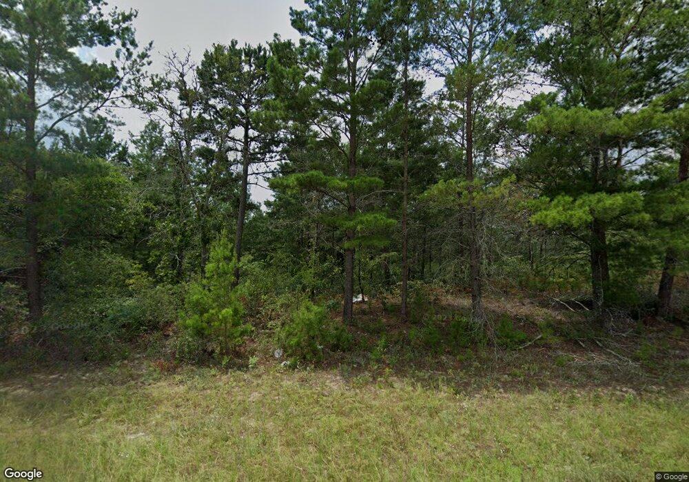
271 Dr Brooks Rd Box Springs, GA 31801
Estimated Value: $223,000 - $348,235
--
Bed
3
Baths
2,178
Sq Ft
$137/Sq Ft
Est. Value
About This Home
This home is located at 271 Dr Brooks Rd, Box Springs, GA 31801 and is currently estimated at $297,412, approximately $136 per square foot. 271 Dr Brooks Rd is a home located in Marion County with nearby schools including L.K. Moss Elementary School and Marion County Middle/High School.
Ownership History
Date
Name
Owned For
Owner Type
Purchase Details
Closed on
Jun 4, 2025
Sold by
Cossett James C
Bought by
Cossett Sheryl G
Current Estimated Value
Purchase Details
Closed on
Feb 16, 1998
Sold by
Miller Keith
Bought by
Cossett James C
Purchase Details
Closed on
Nov 14, 1995
Sold by
Cossett James C
Bought by
Cossett James C
Purchase Details
Closed on
Jun 27, 1995
Bought by
Miller Keith
Create a Home Valuation Report for This Property
The Home Valuation Report is an in-depth analysis detailing your home's value as well as a comparison with similar homes in the area
Home Values in the Area
Average Home Value in this Area
Purchase History
| Date | Buyer | Sale Price | Title Company |
|---|---|---|---|
| Cossett Sheryl G | -- | -- | |
| Cossett James C | $6,900 | -- | |
| Cossett James C | $50,000 | -- | |
| Miller Keith | $112,600 | -- |
Source: Public Records
Tax History Compared to Growth
Tax History
| Year | Tax Paid | Tax Assessment Tax Assessment Total Assessment is a certain percentage of the fair market value that is determined by local assessors to be the total taxable value of land and additions on the property. | Land | Improvement |
|---|---|---|---|---|
| 2024 | $1,523 | $72,211 | $19,308 | $52,903 |
| 2023 | $1,503 | $72,211 | $19,308 | $52,903 |
| 2022 | $1,452 | $51,920 | $1,219 | $50,701 |
| 2021 | $1,436 | $70,009 | $19,308 | $50,701 |
| 2020 | $1,439 | $70,009 | $19,308 | $50,701 |
| 2019 | $1,427 | $70,009 | $19,308 | $50,701 |
| 2018 | $1,422 | $70,009 | $19,308 | $50,701 |
| 2017 | $1,415 | $70,009 | $19,308 | $50,701 |
| 2016 | $1,326 | $79,003 | $29,506 | $49,497 |
| 2015 | -- | $79,002 | $29,506 | $49,497 |
| 2014 | -- | $79,002 | $29,506 | $49,497 |
| 2013 | -- | $79,002 | $29,505 | $49,496 |
Source: Public Records
Map
Nearby Homes
- 0 Palmer Cemetery Rd Unit 10588100
- 1164 Pineknot Rd
- 0 Pineknot Rd
- 245 Dog Track Rd
- 5264 Georgia 41
- 349 New Hope Rd
- 6842 Ga Highway 240 Tract 1
- 6842 Ga Highway 240 N Unit TRACT 1
- 235 S Epps Rd
- 700 Gun Club Rd
- 2450 Fort Perry Rd
- 65 Saddle Trail
- 0 N Ga Hwy 41 N Unit 222687
- 0 Fuller Rd Unit 22846458
- 64 Spring St
- 63 Spring St
- 398 Woodyard Rd
- 0 Montgomery Rd
- 0 Miller Rd Unit 24556267
- 0 Miller Rd Unit 22292559
- 591 Sunnyside Ct
- 290 Dr Brooks Rd Unit 38 & 40
- 290 Dr Brooks Rd
- 260 Dr Brooks Rd
- 503 Dr Brooks Rd
- 578 Sunnyside Ct
- 469 Dr Brooks Rd
- 546 Sunnyside Ct
- 347 Sunnyside Dr
- 420 Doctor Brooks Rd
- 523 Dr Brooks Rd
- 346 Sunnyside Dr
- 332 Sunnyside Dr
- 400 Sunnyside Dr
- 502 Dr Brooks Rd
- 90 Sunnyside Dr
- 256 Sunnyside Dr
- 242 Sunnyside Dr
- 615 Doctor Brooks Rd
- 615 Dr Brooks Rd
