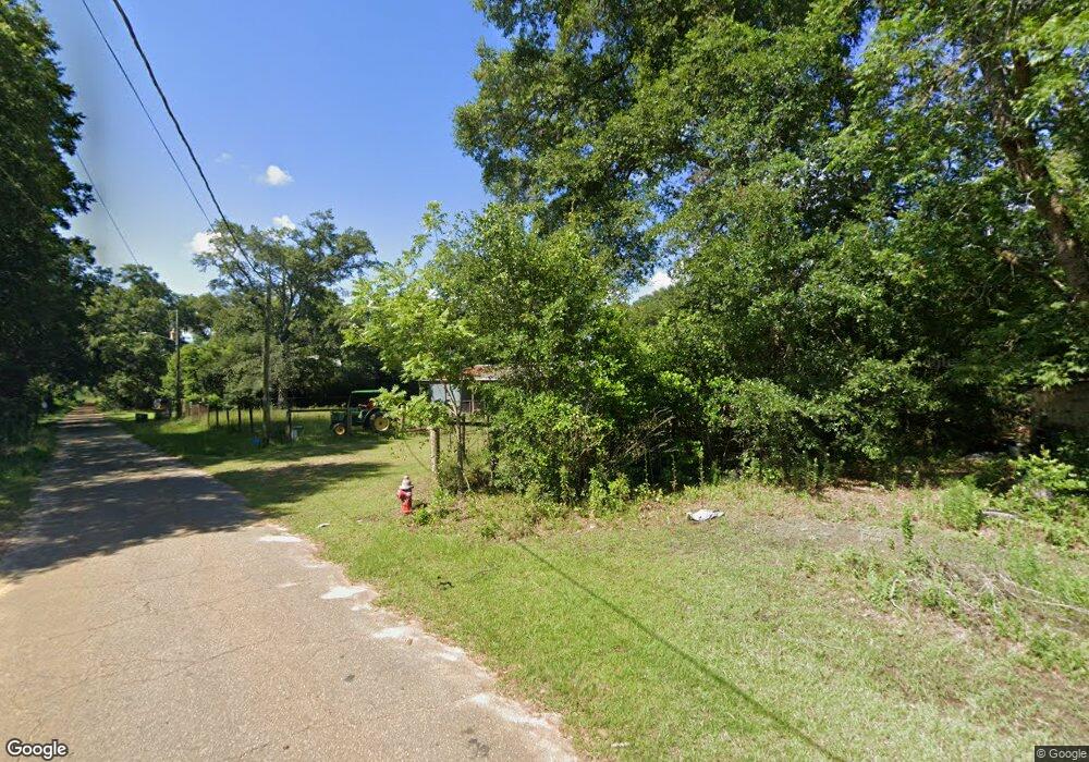
271 E Main St Parrott, GA 39877
Estimated Value: $41,000 - $249,000
3
Beds
2
Baths
2,100
Sq Ft
$72/Sq Ft
Est. Value
About This Home
This home is located at 271 E Main St, Parrott, GA 39877 and is currently estimated at $150,680, approximately $71 per square foot. 271 E Main St is a home located in Terrell County with nearby schools including Cooper-Carver Elementary School, Terrell Middle School, and Terrell High School.
Ownership History
Date
Name
Owned For
Owner Type
Purchase Details
Closed on
Jun 18, 2020
Sold by
Wilborn Carole Hudgins
Bought by
Hipp Daniel J and Strickland Darren P
Current Estimated Value
Purchase Details
Closed on
Nov 6, 2019
Sold by
Hudgins Marjorie Elizabeth
Bought by
Wilborn Carole Hudgins
Purchase Details
Closed on
Aug 19, 2005
Sold by
Wildlife South Inc
Bought by
Griffin Investment Property Co
Purchase Details
Closed on
Oct 1, 2003
Sold by
Byrd Keith B and Byrd Susan M
Bought by
Hudgins Marjorie E
Purchase Details
Closed on
Dec 5, 2001
Sold by
Bank Of Terrell
Bought by
Byrd Keith B and Byrd Susan M
Purchase Details
Closed on
Oct 4, 2000
Sold by
Mclendon Ruth T
Bought by
Bank Of Terrell
Create a Home Valuation Report for This Property
The Home Valuation Report is an in-depth analysis detailing your home's value as well as a comparison with similar homes in the area
Home Values in the Area
Average Home Value in this Area
Purchase History
| Date | Buyer | Sale Price | Title Company |
|---|---|---|---|
| Hipp Daniel J | $25,000 | -- | |
| Wilborn Carole Hudgins | -- | -- | |
| Griffin Investment Property Co | $145,000 | -- | |
| Hudgins Marjorie E | $26,500 | -- | |
| Byrd Keith B | $25,000 | -- | |
| Bank Of Terrell | -- | -- |
Source: Public Records
Tax History Compared to Growth
Tax History
| Year | Tax Paid | Tax Assessment Tax Assessment Total Assessment is a certain percentage of the fair market value that is determined by local assessors to be the total taxable value of land and additions on the property. | Land | Improvement |
|---|---|---|---|---|
| 2024 | $827 | $21,784 | $3,000 | $18,784 |
| 2023 | $847 | $22,296 | $3,000 | $19,296 |
| 2022 | $691 | $22,296 | $3,000 | $19,296 |
| 2021 | $310 | $22,296 | $3,000 | $19,296 |
| 2020 | $691 | $22,296 | $3,000 | $19,296 |
| 2019 | $450 | $22,296 | $3,000 | $19,296 |
| 2018 | $450 | $22,296 | $3,000 | $19,296 |
| 2017 | $780 | $22,296 | $3,000 | $19,296 |
| 2016 | $450 | $22,296 | $3,000 | $19,296 |
| 2015 | -- | $22,296 | $3,000 | $19,296 |
| 2014 | -- | $22,296 | $3,000 | $19,296 |
| 2013 | -- | $22,296 | $3,000 | $19,296 |
Source: Public Records
Map
Nearby Homes
- 109 Main St
- 318 Church St
- 0 Main St
- 151 College St NE
- 161 College St
- 540 Veneys Mill Pond Rd
- 2373 Moncus Rd
- 1853 Warner Rd
- 6310 Georgia 520
- 3176 E Centerpoint Rd
- 2055 Payne Pond Rd
- 1075 Cox Rd
- 3947 Americus Hwy
- 448 Henry Mitchell Dr NE
- 1071 Cox Rd
- 4560 Graves Hwy
- 434 Foster Ave
- 904 Ash St NE
- 361/552 NW Tenth Ave
- 527 Orange St NE
- 278 E Main St
- 262 E Main St
- 109 Preston Rd SE
- 295 Church St NE
- 220 E Main St
- 245 Church St NE
- 525 King St
- 3399 Pearl
- 333 Ascot Way
- 102 Preston Rd SE
- 234 Church St NE
- 120 Leverett St
- 128 Preston Rd SE
- LOT 2 Wilbur Gamble Rd
- 197 Church St NE
- 241 Huckaby St NE
- 187 Church St NE
- 188 Church St NE
- 207 Huckaby St NE
- 128 College St NE
