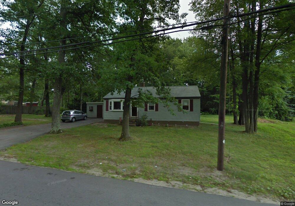
271 Grant St Leominster, MA 01453
Estimated Value: $392,000 - $424,000
3
Beds
1
Bath
960
Sq Ft
$431/Sq Ft
Est. Value
About This Home
This home is located at 271 Grant St, Leominster, MA 01453 and is currently estimated at $413,296, approximately $430 per square foot. 271 Grant St is a home located in Worcester County with nearby schools including Leominster High School, St. Anna Catholic School, and St. Leo School.
Ownership History
Date
Name
Owned For
Owner Type
Purchase Details
Closed on
Dec 8, 2022
Sold by
Maillet Rosemarie
Bought by
Rosemarie Maillet Lt
Current Estimated Value
Purchase Details
Closed on
Nov 1, 1999
Sold by
Martino John M
Bought by
Maillet Donald J and Maillet Rosemarie
Home Financials for this Owner
Home Financials are based on the most recent Mortgage that was taken out on this home.
Original Mortgage
$98,949
Interest Rate
7.78%
Mortgage Type
Purchase Money Mortgage
Create a Home Valuation Report for This Property
The Home Valuation Report is an in-depth analysis detailing your home's value as well as a comparison with similar homes in the area
Home Values in the Area
Average Home Value in this Area
Purchase History
| Date | Buyer | Sale Price | Title Company |
|---|---|---|---|
| Rosemarie Maillet Lt | -- | None Available | |
| Maillet Donald J | $99,000 | -- |
Source: Public Records
Mortgage History
| Date | Status | Borrower | Loan Amount |
|---|---|---|---|
| Previous Owner | Maillet Donald J | $100,900 | |
| Previous Owner | Maillet Donald J | $98,949 | |
| Previous Owner | Maillet Donald J | $58,300 | |
| Previous Owner | Maillet Donald J | $25,000 |
Source: Public Records
Tax History Compared to Growth
Tax History
| Year | Tax Paid | Tax Assessment Tax Assessment Total Assessment is a certain percentage of the fair market value that is determined by local assessors to be the total taxable value of land and additions on the property. | Land | Improvement |
|---|---|---|---|---|
| 2025 | $4,596 | $327,600 | $113,700 | $213,900 |
| 2024 | $4,428 | $305,200 | $108,300 | $196,900 |
| 2023 | $4,283 | $275,600 | $94,200 | $181,400 |
| 2022 | $4,102 | $247,700 | $81,900 | $165,800 |
| 2021 | $3,713 | $204,800 | $63,700 | $141,100 |
| 2020 | $3,511 | $195,300 | $63,700 | $131,600 |
| 2019 | $3,358 | $181,100 | $60,700 | $120,400 |
| 2018 | $3,275 | $169,400 | $58,900 | $110,500 |
| 2017 | $3,070 | $155,600 | $55,000 | $100,600 |
| 2016 | $2,949 | $150,600 | $55,000 | $95,600 |
| 2015 | $2,809 | $144,500 | $55,000 | $89,500 |
| 2014 | $2,654 | $140,500 | $59,400 | $81,100 |
Source: Public Records
Map
Nearby Homes
- 6 Argentine St
- 112 Overlook Dr
- 76 Jamestown Rd
- 109 Weathervane Dr
- 23 Lantern Ln
- 482 Grant St
- 3 Leo Gagnon Way Unit 3
- 1237 Central St Unit 2
- 1237 Central St Unit 15
- 675 Willard St
- 24 Starling Way
- 597 Willard St
- 25 Crimson Ct
- 102 Chapman Place Unit 102
- 197 Chapman Place Unit 197
- 170 Chapman Place
- 74 Crisci St
- 26 Belview Dr
- 30 Abbey Rd Unit 207
- 10 Abbey Rd Unit 205