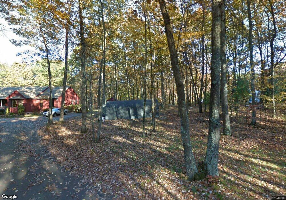
271 High St Uxbridge, MA 01569
Estimated Value: $682,812 - $785,000
3
Beds
3
Baths
2,054
Sq Ft
$349/Sq Ft
Est. Value
About This Home
This home is located at 271 High St, Uxbridge, MA 01569 and is currently estimated at $716,203, approximately $348 per square foot. 271 High St is a home located in Worcester County with nearby schools including Uxbridge High School and Our Lady of the Valley Regional School.
Create a Home Valuation Report for This Property
The Home Valuation Report is an in-depth analysis detailing your home's value as well as a comparison with similar homes in the area
Home Values in the Area
Average Home Value in this Area
Tax History
| Year | Tax Paid | Tax Assessment Tax Assessment Total Assessment is a certain percentage of the fair market value that is determined by local assessors to be the total taxable value of land and additions on the property. | Land | Improvement |
|---|---|---|---|---|
| 2025 | $82 | $627,700 | $146,100 | $481,600 |
| 2024 | $7,439 | $575,800 | $134,400 | $441,400 |
| 2023 | $6,894 | $494,200 | $121,600 | $372,600 |
| 2022 | $6,743 | $444,800 | $110,600 | $334,200 |
| 2021 | $6,962 | $440,100 | $105,900 | $334,200 |
| 2020 | $7,178 | $428,800 | $109,900 | $318,900 |
| 2019 | $6,966 | $401,500 | $102,000 | $299,500 |
| 2018 | $6,530 | $380,300 | $102,000 | $278,300 |
| 2017 | $6,407 | $377,800 | $96,400 | $281,400 |
| 2016 | $7,060 | $401,800 | $99,000 | $302,800 |
| 2015 | $6,904 | $396,800 | $99,000 | $297,800 |
Source: Public Records
Map
Nearby Homes
- 61 Spring Hill Dr Unit 61
- 86 Hunter Rd
- 395 High St
- 376 Douglas St
- 5 Peter St Unit D
- 79 High St
- 16 Farnum St
- 11 Summerfield Dr Unit 11
- 197 Crownshield Ave Unit 16B
- 197 Crownshield Ave Unit 16A
- 197 Crownshield Ave Unit 16C
- 145 Mantell Rd
- 169 Mantell Rd
- 137 Mantell Rd
- 56 S Main St
- 314 Richardson St
- 26 Rivulet St
- 71 Rivulet St Unit B
- 405 West St
- 12 Hartford Ave E
Your Personal Tour Guide
Ask me questions while you tour the home.