271 Jacob Dr Moorefield, WV 26836
Estimated Value: $148,000 - $311,000
3
Beds
2
Baths
1,904
Sq Ft
$115/Sq Ft
Est. Value
About This Home
This home is located at 271 Jacob Dr, Moorefield, WV 26836 and is currently estimated at $219,760, approximately $115 per square foot. 271 Jacob Dr is a home with nearby schools including Moorefield Elementary School, Moorefield Intermediate School, and Moorefield Middle School.
Ownership History
Date
Name
Owned For
Owner Type
Purchase Details
Closed on
May 1, 2020
Sold by
Williams Renick C and Williams Samuel I
Bought by
Hupp Tara
Current Estimated Value
Purchase Details
Closed on
Feb 22, 2019
Sold by
Jack H Walters T
Bought by
Williams Renick C and Williams Samuel
Home Financials for this Owner
Home Financials are based on the most recent Mortgage that was taken out on this home.
Original Mortgage
$91,500
Interest Rate
4.4%
Mortgage Type
New Conventional
Create a Home Valuation Report for This Property
The Home Valuation Report is an in-depth analysis detailing your home's value as well as a comparison with similar homes in the area
Home Values in the Area
Average Home Value in this Area
Purchase History
| Date | Buyer | Sale Price | Title Company |
|---|---|---|---|
| Hupp Tara | -- | None Available | |
| Williams Renick C | $90,358 | -- |
Source: Public Records
Mortgage History
| Date | Status | Borrower | Loan Amount |
|---|---|---|---|
| Previous Owner | Williams Renick C | $91,500 |
Source: Public Records
Tax History
| Year | Tax Paid | Tax Assessment Tax Assessment Total Assessment is a certain percentage of the fair market value that is determined by local assessors to be the total taxable value of land and additions on the property. | Land | Improvement |
|---|---|---|---|---|
| 2025 | $439 | $57,120 | $6,780 | $50,340 |
| 2024 | $425 | $55,200 | $6,780 | $48,420 |
| 2023 | $815 | $52,740 | $6,780 | $45,960 |
| 2022 | $801 | $51,420 | $6,780 | $44,640 |
| 2021 | $761 | $48,840 | $6,780 | $42,060 |
| 2020 | $782 | $50,460 | $6,780 | $43,680 |
| 2019 | $394 | $50,460 | $6,780 | $43,680 |
| 2018 | $394 | $50,460 | $6,780 | $43,680 |
| 2017 | $394 | $50,460 | $6,780 | $43,680 |
| 2016 | $396 | $50,460 | $6,780 | $43,680 |
| 2015 | $419 | $53,410 | $6,780 | $46,630 |
| 2014 | $419 | $53,410 | $6,780 | $46,630 |
Source: Public Records
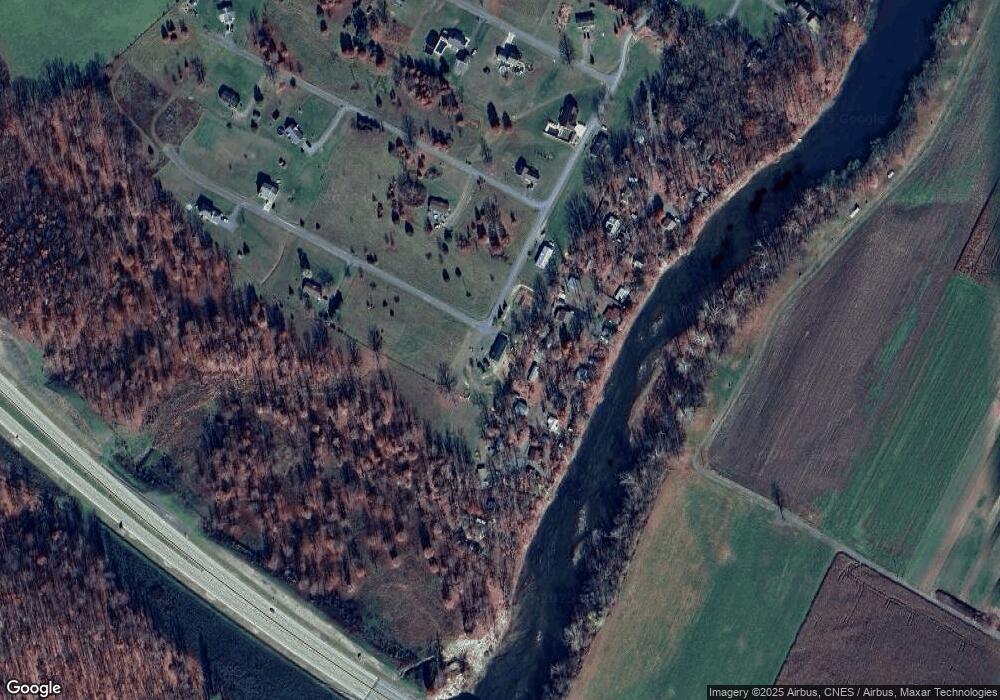
Map
Nearby Homes
- 205 Jacob Dr
- 140 Jacob Dr
- 000 Route 220 Hwy
- 6836 W Virginia 55
- 38.43 Acres Howard Sions Rd
- 0 Hutter Rd
- 211 Eisenhower Rd
- 506 Evening St
- 117 S Main St
- 344 Orchard Ln
- 1 S Fork Rd
- 101 Burr St
- 0 Route 220 Unit WVHD2002898
- 105 Central Ave
- 224 Chipley Ln
- 5268 Hutter Rd
- 200 Jackson St
- 158 Eastern Dr
- 9.38 Rt 55 E
- 550 & 560 Rohrbaugh Ln
- 194 Cecil Meneffee Dr
- 226 Cecil Menefee Dr
- 229 Cecil Meneffee Dr
- 1 Ogden Farm Rd
- 0 Ogden Farm Rd
- 220 Cecil Menefee Dr
- 257 Cecil Meneffee Dr
- 16 June Ann Way
- 140 Cecil Meneffee Dr
- 14 June Ann Way
- 13 June Ann Way
- 107 Gary Smith Rd
- 13 June Ann Way
- 119 Cecil Meneffee Dr
- 135 Jacob Dr
- 112 Cecil Meneffee Dr
- 65 Elsie Ln
- 191 June Ann Way
- 133 June Ann Way
- 85 Elsie Ln
Your Personal Tour Guide
Ask me questions while you tour the home.