271 Jacob Dr Moorefield, WV 26836
Estimated Value: $180,552 - $375,000
About This Home
This home is located at 271 Jacob Dr, Moorefield, WV 26836 and is currently estimated at $265,388, approximately $139 per square foot. 271 Jacob Dr is a home with nearby schools including Moorefield Elementary School, Moorefield Intermediate School, and Moorefield Middle School.
Ownership History
We collect this data history from publicly available records. To have your information removed, we recommend requesting removal directly through your county’s website.
Purchase Details
Purchase Details
Home Financials for this Owner
Home Financials are based on the most recent Mortgage that was taken out on this home.Home Values in the Area
Average Home Value in this Area
Purchase History
We collect this data history from publicly available records. To have your information removed, we recommend requesting removal directly through your county’s website.
| Date | Buyer | Sale Price | Title Company |
|---|---|---|---|
| -- | None Available | ||
| $90,358 | -- |
Mortgage History
We collect this data history from publicly available records. To have your information removed, we recommend requesting removal directly through your county’s website.
| Date | Status | Borrower | Loan Amount |
|---|---|---|---|
| Previous Owner | $91,500 |
Tax History
We collect this data history from publicly available records. To have your information removed, we recommend requesting removal directly through your county’s website.
| Year | Tax Paid | Tax Assessment Tax Assessment Total Assessment is a certain percentage of the fair market value that is determined by local assessors to be the total taxable value of land and additions on the property. | Land | Improvement |
|---|---|---|---|---|
| 2025 | $439 | $57,120 | $6,780 | $50,340 |
| 2024 | $425 | $55,200 | $6,780 | $48,420 |
| 2023 | $815 | $52,740 | $6,780 | $45,960 |
| 2022 | $801 | $51,420 | $6,780 | $44,640 |
| 2021 | $761 | $48,840 | $6,780 | $42,060 |
| 2020 | $782 | $50,460 | $6,780 | $43,680 |
| 2019 | $394 | $50,460 | $6,780 | $43,680 |
| 2018 | $394 | $50,460 | $6,780 | $43,680 |
| 2017 | $394 | $50,460 | $6,780 | $43,680 |
| 2016 | $396 | $50,460 | $6,780 | $43,680 |
| 2015 | $419 | $53,410 | $6,780 | $46,630 |
| 2014 | $419 | $53,410 | $6,780 | $46,630 |
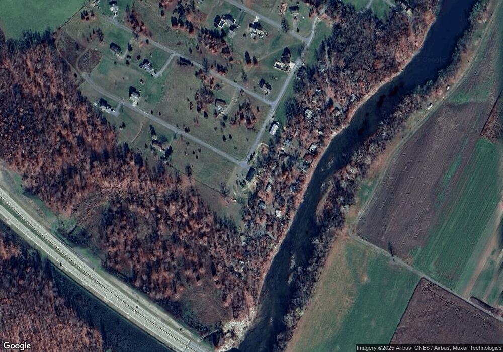
Map
- 151 Cecil Meneffee Dr
- 271 Ogden Farm Rd
- 000 Route 220 Hwy
- 38.43 Acres Howard Sions Rd
- 506 Evening St
- 201 Hope Mount Dr
- 1 S Fork Rd
- 0 Route 220 Unit WVHD2002898
- 224 Chipley Ln
- 158 Eastern Dr
- 9.38 Rt 55 E
- 1771 Powder Spring Rd
- Rolling Acres Dr
- A J Kelly Rd
- 792 Forest Glen Rd
- 883 White Oak Crossing Rd
- 400 Locust Ridge
- 20.32 AC Trough Rd
- 182 Webb Ln
- 61 Ruckman Rd
- 194 Cecil Meneffee Dr
- 205 Jacob Dr
- 226 Cecil Menefee Dr
- 229 Cecil Meneffee Dr
- 1 Ogden Farm Rd
- 0 Ogden Farm Rd
- 220 Cecil Menefee Dr
- 257 Cecil Meneffee Dr
- 16 June Ann Way
- 140 Cecil Meneffee Dr
- 14 June Ann Way
- 13 June Ann Way
- 107 Gary Smith Rd
- 13 June Ann Way
- 119 Cecil Meneffee Dr
- 135 Jacob Dr
- 140 Jacob Dr
- 112 Cecil Meneffee Dr
- 65 Elsie Ln
- 191 June Ann Way
Ask me questions while you tour the home.