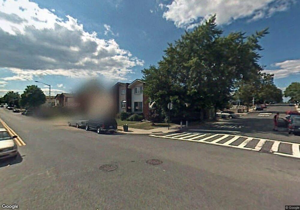
271 Leverett Ave Staten Island, NY 10308
Great Kills NeighborhoodEstimated Value: $690,735 - $715,000
3
Beds
2
Baths
1,380
Sq Ft
$509/Sq Ft
Est. Value
About This Home
This home is located at 271 Leverett Ave, Staten Island, NY 10308 and is currently estimated at $702,934, approximately $509 per square foot. 271 Leverett Ave is a home located in Richmond County with nearby schools including P.S. 32 The Gifford School, I.S. 075 Frank D. Paulo, and Susan E Wagner High School.
Ownership History
Date
Name
Owned For
Owner Type
Purchase Details
Closed on
Oct 29, 2007
Sold by
Moneypenny Joyce and Moneypenny Lorraine
Bought by
Beshara Antoinette
Current Estimated Value
Home Financials for this Owner
Home Financials are based on the most recent Mortgage that was taken out on this home.
Original Mortgage
$390,000
Outstanding Balance
$247,900
Interest Rate
6.47%
Mortgage Type
Unknown
Estimated Equity
$455,034
Create a Home Valuation Report for This Property
The Home Valuation Report is an in-depth analysis detailing your home's value as well as a comparison with similar homes in the area
Home Values in the Area
Average Home Value in this Area
Purchase History
| Date | Buyer | Sale Price | Title Company |
|---|---|---|---|
| Beshara Antoinette | $390,000 | First Amer Title Ins Co Ny |
Source: Public Records
Mortgage History
| Date | Status | Borrower | Loan Amount |
|---|---|---|---|
| Open | Beshara Antoinette | $390,000 |
Source: Public Records
Tax History Compared to Growth
Tax History
| Year | Tax Paid | Tax Assessment Tax Assessment Total Assessment is a certain percentage of the fair market value that is determined by local assessors to be the total taxable value of land and additions on the property. | Land | Improvement |
|---|---|---|---|---|
| 2025 | $6,626 | $35,280 | $7,794 | $27,486 |
| 2024 | $6,907 | $37,680 | $7,119 | $30,561 |
| 2023 | $6,236 | $32,446 | $6,391 | $26,055 |
| 2022 | $6,005 | $32,520 | $7,800 | $24,720 |
| 2021 | $5,955 | $33,960 | $7,800 | $26,160 |
| 2020 | $6,944 | $33,660 | $7,800 | $25,860 |
| 2019 | $6,724 | $31,680 | $7,800 | $23,880 |
| 2018 | $5,214 | $27,038 | $7,130 | $19,908 |
| 2017 | $5,055 | $26,266 | $7,439 | $18,827 |
| 2016 | $4,644 | $24,780 | $7,800 | $16,980 |
| 2015 | $4,278 | $24,480 | $6,480 | $18,000 |
| 2014 | $4,278 | $23,883 | $6,322 | $17,561 |
Source: Public Records
Map
Nearby Homes
- 270 Leverett Ave
- 271 Doane Ave
- 20 Michael Ct
- 200 Giffords Ln
- 234 Brookfield Ave
- 15 Woodland Ave
- 12 Lexington Ln
- 223 Abingdon Ave
- 339 Abingdon Ave
- 248 Abingdon Ave
- 168 Leverett Ave
- 72 Eric Ln
- 63 Genesee Ave
- 360 Barlow Ave Unit 32
- 360 Barlow Ave Unit 12
- 37 E Stroud Ave
- 59 Gibson Ave
- 151 Abingdon Ave
- 919 Armstrong Ave
- 108 Giffords Ln
- 273 Leverett Ave
- 304 Elverton Ave
- 304 Elverton Ave Unit 2
- 277 Leverett Ave
- 308 Elverton Ave
- 279 Leverett Ave
- 312 Elverton Ave
- 312 Elverton Ave Unit 1st Floor
- 283 Leverett Ave
- 301 Doane Ave
- 316 Elverton Ave
- 272 Leverett Ave
- 276 Leverett Ave
- 305 Doane Ave
- 285 Leverett Ave
- 278 Leverett Ave
- 283 Elverton Ave
- 281 Doane Ave
- 241 Leverett Ave
- 309 Doane Ave