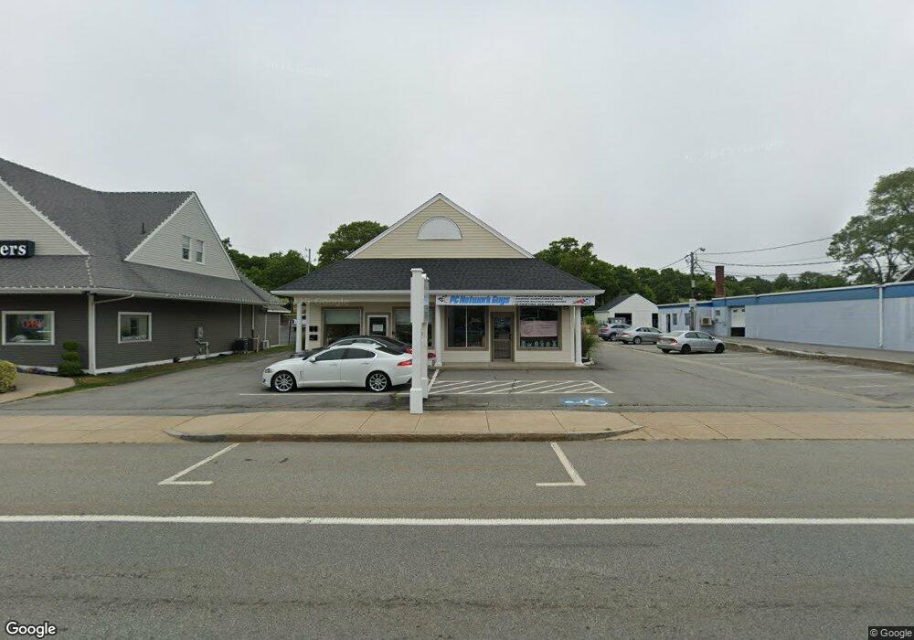
271 Main St Unit B Bourne, MA 2532
Buzzards Bay NeighborhoodEstimated Value: $663,611
2
Beds
1
Bath
3,162
Sq Ft
$210/Sq Ft
Est. Value
About This Home
This home is located at 271 Main St Unit B, Bourne, MA 2532 and is currently priced at $663,611, approximately $209 per square foot. 271 Main St Unit B is a home located in Barnstable County with nearby schools including Bourne High School, St Margaret Regional School, and Cadence Academy Preschool - Bourne.
Ownership History
Date
Name
Owned For
Owner Type
Purchase Details
Closed on
Nov 8, 2017
Sold by
Blossom Valley Nt 2 and Egan
Bought by
Brilliant Scott B and Brilliant Deborah A
Current Estimated Value
Home Financials for this Owner
Home Financials are based on the most recent Mortgage that was taken out on this home.
Original Mortgage
$50,000
Outstanding Balance
$41,675
Interest Rate
3.83%
Mortgage Type
New Conventional
Purchase Details
Closed on
May 25, 2007
Sold by
Main St & Lakeside Ave and Baird
Bought by
Blosson Valley Nt and Egan
Home Financials for this Owner
Home Financials are based on the most recent Mortgage that was taken out on this home.
Original Mortgage
$300,000
Interest Rate
6.27%
Mortgage Type
Purchase Money Mortgage
Create a Home Valuation Report for This Property
The Home Valuation Report is an in-depth analysis detailing your home's value as well as a comparison with similar homes in the area
Home Values in the Area
Average Home Value in this Area
Purchase History
| Date | Buyer | Sale Price | Title Company |
|---|---|---|---|
| Brilliant Scott B | $70,000 | -- | |
| Blosson Valley Nt | $225,000 | -- | |
| Blosson Valley Nt | $225,000 | -- |
Source: Public Records
Mortgage History
| Date | Status | Borrower | Loan Amount |
|---|---|---|---|
| Open | Brilliant Scott B | $50,000 | |
| Previous Owner | Blosson Valley Nt | $300,000 |
Source: Public Records
Tax History Compared to Growth
Tax History
| Year | Tax Paid | Tax Assessment Tax Assessment Total Assessment is a certain percentage of the fair market value that is determined by local assessors to be the total taxable value of land and additions on the property. | Land | Improvement |
|---|---|---|---|---|
| 2025 | $6,212 | $795,400 | $0 | $795,400 |
| 2024 | $6,045 | $753,700 | $0 | $753,700 |
| 2023 | $5,024 | $570,300 | $0 | $570,300 |
| 2022 | $4,921 | $487,700 | $0 | $487,700 |
| 2021 | $4,409 | $409,400 | $0 | $409,400 |
| 2020 | $4,292 | $399,600 | $0 | $399,600 |
| 2019 | $4,031 | $383,500 | $0 | $383,500 |
| 2018 | $3,924 | $372,300 | $0 | $372,300 |
| 2017 | $3,988 | $387,200 | $0 | $387,200 |
| 2016 | $981 | $96,600 | $0 | $96,600 |
| 2015 | $973 | $96,600 | $0 | $96,600 |
Source: Public Records
Map
Nearby Homes
- 304 Main St
- 38 Old Bridge Rd
- 17 Maple St
- 162 Puritan Rd
- 171 Puritan Rd
- 46 Holt Rd
- 46 Holt Rd Unit A
- 90-92 Sandwich Rd Unit 9C
- 151 - 153 Main St
- 60 Sandwich Rd
- 4 Knob Ln
- 90-92 Sandwich Rd Unit 2
- 41 Lewis Point Rd
- 0 Lewis Point Rd
- 44 Cotuit Rd
- 65 Lewis Point Rd
- 73 Lewis Point Rd
- 34 Washington Ave
- 16 Washington Ave
- 3 Wolf Rd
- 271 Main St Unit 5
- 271 Main St Unit 1
- 271 Main St
- 271 Main St Unit 3
- 271 Main St Unit 4
- 271 Main St Unit B
- 271 Main St Unit B1
- 271 Main St Unit front
- 271 Main St Unit 2
- 275 Main St
- 277 Main St
- 277 Main St
- 267 Main St
- 279 Main St
- 269 Main St
- 269 Main St
- 279 Main St Unit 279
- 279 Main St Unit 1
- 279 Main St Unit *
- 279 Main St