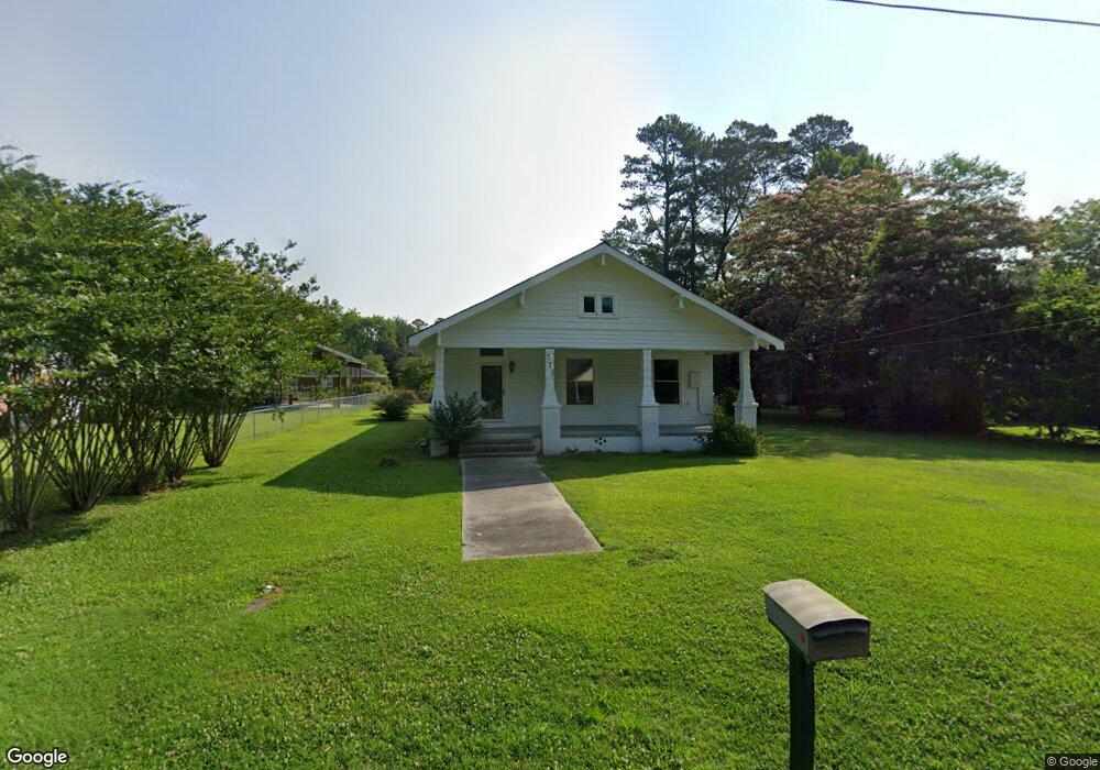
271 Mccrae St Grifton, NC 28530
Estimated Value: $113,000 - $198,000
2
Beds
2
Baths
1,675
Sq Ft
$98/Sq Ft
Est. Value
About This Home
This home is located at 271 Mccrae St, Grifton, NC 28530 and is currently estimated at $164,731, approximately $98 per square foot. 271 Mccrae St is a home located in Pitt County with nearby schools including Grifton and Ayden-Grifton High School.
Ownership History
Date
Name
Owned For
Owner Type
Purchase Details
Closed on
Sep 8, 2020
Sold by
Stancil Sally L
Bought by
Tyson Wanda H
Current Estimated Value
Purchase Details
Closed on
Jan 12, 2007
Sold by
Daughety Jacqueline Stancil and Warren Wayne Cecil
Bought by
Stancil George Jeffery and Stancil Sally L
Home Financials for this Owner
Home Financials are based on the most recent Mortgage that was taken out on this home.
Original Mortgage
$43,500
Interest Rate
6.06%
Mortgage Type
New Conventional
Create a Home Valuation Report for This Property
The Home Valuation Report is an in-depth analysis detailing your home's value as well as a comparison with similar homes in the area
Home Values in the Area
Average Home Value in this Area
Purchase History
| Date | Buyer | Sale Price | Title Company |
|---|---|---|---|
| Tyson Wanda H | $38,000 | None Available | |
| Stancil George Jeffery | $43,500 | None Available |
Source: Public Records
Mortgage History
| Date | Status | Borrower | Loan Amount |
|---|---|---|---|
| Previous Owner | Stancil George Jeffery | $43,500 |
Source: Public Records
Tax History Compared to Growth
Tax History
| Year | Tax Paid | Tax Assessment Tax Assessment Total Assessment is a certain percentage of the fair market value that is determined by local assessors to be the total taxable value of land and additions on the property. | Land | Improvement |
|---|---|---|---|---|
| 2025 | $913 | $122,886 | $15,000 | $107,886 |
| 2024 | $901 | $122,886 | $15,000 | $107,886 |
| 2023 | $856 | $99,453 | $13,800 | $85,653 |
| 2022 | $860 | $99,453 | $13,800 | $85,653 |
| 2021 | $856 | $99,453 | $13,800 | $85,653 |
| 2020 | $861 | $99,453 | $13,800 | $85,653 |
| 2019 | $521 | $57,479 | $13,800 | $43,679 |
| 2018 | $497 | $57,479 | $13,800 | $43,679 |
| 2017 | $497 | $57,479 | $13,800 | $43,679 |
| 2016 | $492 | $57,479 | $13,800 | $43,679 |
| 2015 | $470 | $54,892 | $13,800 | $41,092 |
| 2014 | $470 | $54,892 | $13,800 | $41,092 |
Source: Public Records
Map
Nearby Homes
- 329 Mccrae St
- 297 Main St
- 0 N Carolina 118
- 6212 Bow Dr
- 168 Lang Farm Rd
- 6219 Dillion Dr
- 148 Lang Farm Rd
- 6812 Brooks Alley
- 12 McCotter Dr
- 281 Harvey Cir
- 0 Water St
- 550 Saint David St
- 620 Saint David St
- 714 Pope St
- 158 Contentnea Dr
- 331 Tucker St
- 708 Pope St
- 709 Pope St
- 0 Unit 100521949
- 3990 Brandon Rd