271 Mount Evans Ct Livermore, CO 80536
Estimated Value: $355,000 - $450,681
2
Beds
2
Baths
952
Sq Ft
$441/Sq Ft
Est. Value
About This Home
This home is located at 271 Mount Evans Ct, Livermore, CO 80536 and is currently estimated at $419,920, approximately $441 per square foot. 271 Mount Evans Ct is a home located in Larimer County with nearby schools including Red Feather Lakes Elementary School, Cache La Poudre Middle School, and Poudre High School.
Ownership History
Date
Name
Owned For
Owner Type
Purchase Details
Closed on
Jun 7, 2011
Sold by
Csr Living Trust
Bought by
Mathis Terri A
Current Estimated Value
Home Financials for this Owner
Home Financials are based on the most recent Mortgage that was taken out on this home.
Original Mortgage
$119,000
Outstanding Balance
$88,694
Interest Rate
4.81%
Mortgage Type
Purchase Money Mortgage
Estimated Equity
$331,226
Purchase Details
Closed on
Jun 11, 2009
Sold by
Lindell Real Estate Llc
Bought by
Csr Living Trust
Purchase Details
Closed on
Sep 19, 2003
Sold by
Carroll Jack H and Carroll Linda
Bought by
Mcneill Rolland M and Mcneill Jennifer D
Home Financials for this Owner
Home Financials are based on the most recent Mortgage that was taken out on this home.
Original Mortgage
$147,910
Interest Rate
6.22%
Mortgage Type
FHA
Purchase Details
Closed on
Jun 1, 1987
Bought by
Carroll Jack H and Carroll Linda
Create a Home Valuation Report for This Property
The Home Valuation Report is an in-depth analysis detailing your home's value as well as a comparison with similar homes in the area
Home Values in the Area
Average Home Value in this Area
Purchase History
| Date | Buyer | Sale Price | Title Company |
|---|---|---|---|
| Mathis Terri A | $120,000 | Heritage Title | |
| Csr Living Trust | -- | None Available | |
| Mcneill Rolland M | $150,000 | -- | |
| Carroll Jack H | $53,000 | -- |
Source: Public Records
Mortgage History
| Date | Status | Borrower | Loan Amount |
|---|---|---|---|
| Open | Mathis Terri A | $119,000 | |
| Previous Owner | Mcneill Rolland M | $147,910 |
Source: Public Records
Tax History Compared to Growth
Tax History
| Year | Tax Paid | Tax Assessment Tax Assessment Total Assessment is a certain percentage of the fair market value that is determined by local assessors to be the total taxable value of land and additions on the property. | Land | Improvement |
|---|---|---|---|---|
| 2025 | $2,687 | $30,988 | $8,040 | $22,948 |
| 2024 | $2,560 | $30,988 | $8,040 | $22,948 |
| 2022 | $1,822 | $18,814 | $4,372 | $14,442 |
| 2021 | $1,843 | $19,355 | $4,497 | $14,858 |
| 2020 | $1,375 | $14,315 | $3,218 | $11,097 |
| 2019 | $1,380 | $14,315 | $3,218 | $11,097 |
| 2018 | $1,055 | $11,779 | $2,880 | $8,899 |
| 2017 | $1,052 | $11,779 | $2,880 | $8,899 |
| 2016 | $1,036 | $11,550 | $2,786 | $8,764 |
| 2015 | $1,029 | $11,550 | $2,790 | $8,760 |
| 2014 | $872 | $9,730 | $3,820 | $5,910 |
Source: Public Records
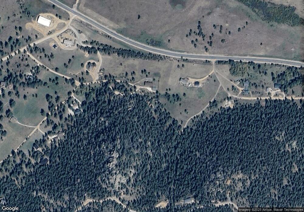
Map
Nearby Homes
- 569 Gordon Ct
- 490 Gordon Ct
- 3309 Green Mountain Dr
- 556 Bald Mountain Dr
- 64 Mount Massive Dr
- 98 Deadhorse Mountain Ct
- 102 Mount Princeton Ct
- 636 Cucharas Mountain Dr
- 131 Mount Apiatan Ct
- 81 Humboldt Dr
- 241 Deadhorse Mountain Ct
- 4092 Green Mountain Dr
- 166 Red Cloud Peak Ct
- 331 Laplata Dr
- 1084 Iron Mountain Dr
- 487 Laplata Dr
- 0 Shoshana Ranch Rd
- 775 Haystack Dr
- 679 Mount Massive Dr
- 91 Eagle Rising Place
- 272 Mount Evans Ct
- 203 Mount Evans Ct
- 37 Mount Fisher Ct
- 471 Ute Peak Dr
- 111 Mount Fisher Ct
- 419 Ute Peak Dr
- 82 Mount Fisher Ct
- 2503 Green Mountain Dr
- 75 Mount Fisher Ct
- 0 County Road 74e
- 2681 Green Mountain Dr
- 2417 Green Mountain Dr
- 375 Ute Peak Dr
- 67 Mount Evans Ct
- 136 Sniktau Ct
- 150 Mount Fisher Ct
- 3316 Green Mountain Dr
- 2729 Green Mountain Dr
- 136 Mount Sniktau Ct
- 0 Mt Sniktau Ct Unit 465199