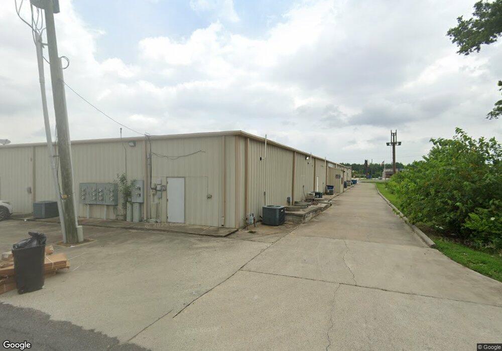
271 N Highway 171 Unit 700 Lake Charles, LA 70611
Moss Bluff NeighborhoodEstimated Value: $1,800,902
--
Bed
--
Bath
--
Sq Ft
1.91
Acres
About This Home
This home is located at 271 N Highway 171 Unit 700, Lake Charles, LA 70611 and is currently estimated at $1,800,902. 271 N Highway 171 Unit 700 is a home located in Calcasieu Parish with nearby schools including Graham & Parks Alternative Public School, Moss Bluff Elementary School, and Putnam Avenue Upper School.
Ownership History
Date
Name
Owned For
Owner Type
Purchase Details
Closed on
Aug 13, 2014
Sold by
Bridges Larry Glenn and Bridges Peggy Rose
Bought by
Sc Management Llc
Current Estimated Value
Home Financials for this Owner
Home Financials are based on the most recent Mortgage that was taken out on this home.
Original Mortgage
$1,185,000
Outstanding Balance
$905,245
Interest Rate
4.16%
Mortgage Type
Commercial
Estimated Equity
$925,508
Create a Home Valuation Report for This Property
The Home Valuation Report is an in-depth analysis detailing your home's value as well as a comparison with similar homes in the area
Home Values in the Area
Average Home Value in this Area
Purchase History
| Date | Buyer | Sale Price | Title Company |
|---|---|---|---|
| Sc Management Llc | $1,335,000 | None Available |
Source: Public Records
Mortgage History
| Date | Status | Borrower | Loan Amount |
|---|---|---|---|
| Open | Sc Management Llc | $1,185,000 |
Source: Public Records
Tax History Compared to Growth
Tax History
| Year | Tax Paid | Tax Assessment Tax Assessment Total Assessment is a certain percentage of the fair market value that is determined by local assessors to be the total taxable value of land and additions on the property. | Land | Improvement |
|---|---|---|---|---|
| 2024 | $16,437 | $150,540 | $30,250 | $120,290 |
| 2023 | $16,182 | $150,540 | $30,250 | $120,290 |
| 2022 | $15,906 | $150,540 | $30,250 | $120,290 |
| 2021 | $12,424 | $112,050 | $30,250 | $81,800 |
| 2020 | $12,036 | $110,540 | $28,740 | $81,800 |
| 2019 | $16,148 | $147,790 | $27,500 | $120,290 |
| 2018 | $16,177 | $147,790 | $27,500 | $120,290 |
| 2017 | $16,399 | $147,790 | $27,500 | $120,290 |
| 2016 | $16,504 | $147,790 | $27,500 | $120,290 |
| 2015 | $16,504 | $147,790 | $27,500 | $120,290 |
Source: Public Records
Map
Nearby Homes
- 201 Armistead Ln
- 179 Armistead Ln
- 179 Sam Houston Jones Pkwy
- 628 Victory Way
- 211 Senator Ln
- 231 N Presidential Cir
- 298 S Presidential Cir
- 276 School St
- 0 Parish Rd Unit 45-679
- 0 Parish Rd Unit SWL24004393
- 521 Josh St
- 0 Vickie Ln
- 850 Koonce Rd
- 357 White Oak Dr
- 419 You Winn Rd
- 740 Sam Houston Jones Pkwy
- 926 Theriot Rd
- 964 Theriot Rd
- 290 Morrow Rd
- 670 Abby Ln
- 271 N Highway 171
- 271 N Hwy 171 Hwy
- 271 N Hwy 171 Hwy
- 271 N 171 Hwy
- 260 Armistead Ln
- 244 Armistead Ln
- 239 N Highway 171
- 231a Armistead Ln Unit B
- 231a Armistead Ln Unit A
- 283 Armistead Ln
- 273 Armistead Ln
- 226 Armistead Ln
- 426 Armistead Ln
- 315 Armistead Ln
- 315 Armistead Ln
- 233 Armistead Ln
- 233 Armistead Ln Unit A
- 233 Armistead Ln Unit B
- 250 N Highway 171
- 221 Armistead Ln