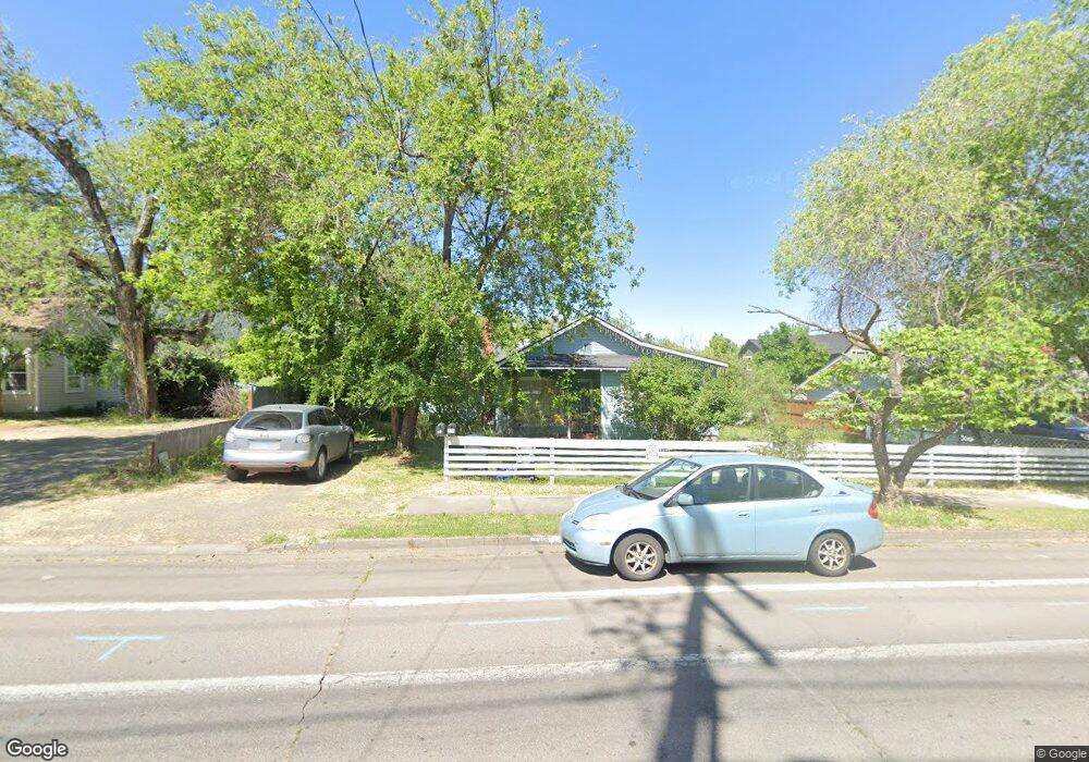
271 N Mountain Ave Ashland, OR 97520
Millpond NeighborhoodEstimated Value: $641,000 - $711,000
3
Beds
2
Baths
1,996
Sq Ft
$333/Sq Ft
Est. Value
About This Home
This home is located at 271 N Mountain Ave, Ashland, OR 97520 and is currently estimated at $664,048, approximately $332 per square foot. 271 N Mountain Ave is a home located in Jackson County with nearby schools including Walker Elementary School, Ashland Middle School, and Ashland High School.
Ownership History
Date
Name
Owned For
Owner Type
Purchase Details
Closed on
Jul 12, 2017
Sold by
Grant Lisa Mae and Rogue Federal Credit Union
Bought by
Thomas Theodore F and Parry Diane E
Current Estimated Value
Purchase Details
Closed on
Jan 26, 2017
Sold by
Grant Lisa Mae and Rogue Federal Credit Union
Bought by
Thomas Theodore F and Parry Diane E
Purchase Details
Closed on
Feb 17, 2004
Sold by
Sebrell Lisa Grant
Bought by
Grant Lisa Mae
Home Financials for this Owner
Home Financials are based on the most recent Mortgage that was taken out on this home.
Original Mortgage
$388,000
Interest Rate
4.37%
Mortgage Type
New Conventional
Purchase Details
Closed on
Jul 16, 2003
Sold by
Sebrell David B
Bought by
Sebrell Lisa Grant
Home Financials for this Owner
Home Financials are based on the most recent Mortgage that was taken out on this home.
Original Mortgage
$297,128
Interest Rate
5.18%
Mortgage Type
Seller Take Back
Create a Home Valuation Report for This Property
The Home Valuation Report is an in-depth analysis detailing your home's value as well as a comparison with similar homes in the area
Home Values in the Area
Average Home Value in this Area
Purchase History
| Date | Buyer | Sale Price | Title Company |
|---|---|---|---|
| Thomas Theodore F | $365,510 | None Available | |
| Thomas Theodore F | $365,510 | None Available | |
| Grant Lisa Mae | -- | -- | |
| Sebrell Lisa Grant | -- | -- |
Source: Public Records
Mortgage History
| Date | Status | Borrower | Loan Amount |
|---|---|---|---|
| Previous Owner | Grant Lisa Mae | $388,000 | |
| Previous Owner | Sebrell Lisa Grant | $297,128 |
Source: Public Records
Tax History Compared to Growth
Tax History
| Year | Tax Paid | Tax Assessment Tax Assessment Total Assessment is a certain percentage of the fair market value that is determined by local assessors to be the total taxable value of land and additions on the property. | Land | Improvement |
|---|---|---|---|---|
| 2025 | $6,628 | $427,490 | $283,360 | $144,130 |
| 2024 | $6,628 | $415,040 | $275,110 | $139,930 |
| 2023 | $6,412 | $402,960 | $267,110 | $135,850 |
| 2022 | $6,206 | $402,960 | $267,110 | $135,850 |
| 2021 | $5,995 | $391,230 | $259,340 | $131,890 |
| 2020 | $5,827 | $379,840 | $251,790 | $128,050 |
| 2019 | $5,735 | $358,040 | $237,340 | $120,700 |
| 2018 | $5,417 | $347,620 | $230,440 | $117,180 |
| 2017 | $5,378 | $347,620 | $230,440 | $117,180 |
| 2016 | $5,238 | $327,670 | $217,210 | $110,460 |
| 2015 | $5,035 | $327,670 | $217,210 | $110,460 |
| 2014 | $4,872 | $308,870 | $204,750 | $104,120 |
Source: Public Records
Map
Nearby Homes
- 263 N Mountain Ave
- 263 N Mountain Ave
- 311 N Mountain Ave
- 492 Thimbleberry Ln Unit 6
- 492 Thimbleberry Ln
- 292 N Mountain Ave
- 243 N Mountain Ave
- 310 N Mountain Ave
- 472 Thimbleberry Ln
- 274 N Mountain Ave
- 264 N Mountain Ave
- 320 Hemlock Ln
- 248 N Mountain Ave
- 0 Village Green Dr
- 321 N Mountain Ave
- 462 Thimbleberry Ln
- 330 Hemlock Ln Unit LOT
- 330 Hemlock Ln
- 465 Thimbleberry Ln
- 1118 Village Green Dr