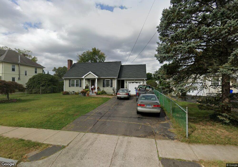
271 Newington Rd West Hartford, CT 06110
Estimated Value: $334,000 - $442,000
4
Beds
1
Bath
1,434
Sq Ft
$270/Sq Ft
Est. Value
About This Home
This home is located at 271 Newington Rd, West Hartford, CT 06110 and is currently estimated at $387,801, approximately $270 per square foot. 271 Newington Rd is a home located in Hartford County with nearby schools including Webster Hill School, Sedgwick Middle School, and Conard High School.
Ownership History
Date
Name
Owned For
Owner Type
Purchase Details
Closed on
Jul 1, 1993
Sold by
Lewis Lois
Bought by
Paulo Joaquim
Current Estimated Value
Home Financials for this Owner
Home Financials are based on the most recent Mortgage that was taken out on this home.
Original Mortgage
$77,000
Interest Rate
7.46%
Mortgage Type
Unknown
Create a Home Valuation Report for This Property
The Home Valuation Report is an in-depth analysis detailing your home's value as well as a comparison with similar homes in the area
Home Values in the Area
Average Home Value in this Area
Purchase History
| Date | Buyer | Sale Price | Title Company |
|---|---|---|---|
| Paulo Joaquim | $95,000 | -- |
Source: Public Records
Mortgage History
| Date | Status | Borrower | Loan Amount |
|---|---|---|---|
| Closed | Paulo Joaquim | $77,000 |
Source: Public Records
Tax History Compared to Growth
Tax History
| Year | Tax Paid | Tax Assessment Tax Assessment Total Assessment is a certain percentage of the fair market value that is determined by local assessors to be the total taxable value of land and additions on the property. | Land | Improvement |
|---|---|---|---|---|
| 2025 | $8,230 | $183,790 | $53,800 | $129,990 |
| 2024 | $7,784 | $183,790 | $53,800 | $129,990 |
| 2023 | $7,521 | $183,790 | $53,800 | $129,990 |
| 2022 | $7,477 | $183,790 | $53,800 | $129,990 |
| 2021 | $5,954 | $140,350 | $51,800 | $88,550 |
| 2020 | $5,867 | $140,350 | $43,600 | $96,750 |
| 2019 | $5,867 | $140,350 | $43,610 | $96,740 |
| 2018 | $5,754 | $140,350 | $43,610 | $96,740 |
| 2017 | $5,760 | $140,350 | $43,610 | $96,740 |
| 2016 | $6,165 | $156,030 | $50,540 | $105,490 |
| 2015 | $5,978 | $156,030 | $50,540 | $105,490 |
| 2014 | $5,663 | $151,550 | $50,540 | $101,010 |
Source: Public Records
Map
Nearby Homes
- 148 Colonial St
- 121 Cambridge St
- 107 Westgate St
- 20 Surrey Dr Unit B16 aka B4
- 305 Hampton Ct
- 61 Colonial St
- 41 Page Ave
- 49 Somerset St
- 18 Federal St
- 29 Sunnyside Rd
- 479 S Main St
- 1145 New Britain Ave
- 47 Francis Dr
- 39 Cortland St
- 24 Thorne Rd Unit 24
- 90 Park Place Cir Unit 90
- 49 Park Place Cir Unit 49
- 422 S Main St
- 54 Red Top Dr
- 131 Williamstown Ct Unit 131
- 279 Newington Rd
- 265 Newington Rd
- 281 Newington Rd
- 261 Newington Rd
- 222 Somerset St
- 224 Somerset St
- 220 Somerset St
- 226 Somerset St
- 268 Newington Rd
- 255 Newington Rd
- 284 Newington Rd
- 216 Somerset St
- 8 Sampson St
- 249 Newington Rd
- 288 Newington Rd
- 230 Somerset St
- 258 Newington Rd
- 212 Somerset St
- 15 Brook St