271 Price Ln Dahlonega, GA 30533
Estimated Value: $271,413 - $300,000
--
Bed
2
Baths
1,197
Sq Ft
$239/Sq Ft
Est. Value
About This Home
This home is located at 271 Price Ln, Dahlonega, GA 30533 and is currently estimated at $286,353, approximately $239 per square foot. 271 Price Ln is a home located in Lumpkin County with nearby schools including Lumpkin County High School.
Ownership History
Date
Name
Owned For
Owner Type
Purchase Details
Closed on
Jul 26, 2022
Sold by
Hoffmeyer Kimberly
Bought by
Davison Kimberly and Davison Stephen
Current Estimated Value
Home Financials for this Owner
Home Financials are based on the most recent Mortgage that was taken out on this home.
Original Mortgage
$127,700
Outstanding Balance
$122,270
Interest Rate
5.7%
Mortgage Type
New Conventional
Estimated Equity
$164,083
Purchase Details
Closed on
May 30, 1997
Sold by
Bennington Joyce
Bought by
Portrait Custom Home
Purchase Details
Closed on
Mar 10, 1995
Sold by
Price John Etal
Bought by
Anderson James A Eta
Purchase Details
Closed on
Mar 9, 1995
Sold by
Anderson James A Eta
Bought by
Bennington Joyce
Purchase Details
Closed on
Aug 10, 1994
Sold by
Castleberry Develop
Bought by
Price John Etal
Purchase Details
Closed on
Apr 13, 1989
Bought by
Castleberry Dev Corp
Create a Home Valuation Report for This Property
The Home Valuation Report is an in-depth analysis detailing your home's value as well as a comparison with similar homes in the area
Home Values in the Area
Average Home Value in this Area
Purchase History
| Date | Buyer | Sale Price | Title Company |
|---|---|---|---|
| Davison Kimberly | -- | -- | |
| Portrait Custom Home | $7,500 | -- | |
| Hoffmeyer Kim | $80,500 | -- | |
| Anderson James A Eta | $6,400 | -- | |
| Bennington Joyce | $3,500 | -- | |
| Price John Etal | -- | -- | |
| Castleberry Dev Corp | -- | -- |
Source: Public Records
Mortgage History
| Date | Status | Borrower | Loan Amount |
|---|---|---|---|
| Open | Davison Kimberly | $127,700 |
Source: Public Records
Tax History Compared to Growth
Tax History
| Year | Tax Paid | Tax Assessment Tax Assessment Total Assessment is a certain percentage of the fair market value that is determined by local assessors to be the total taxable value of land and additions on the property. | Land | Improvement |
|---|---|---|---|---|
| 2024 | $2,063 | $86,770 | $12,000 | $74,770 |
| 2023 | $1,639 | $69,693 | $12,000 | $57,693 |
| 2022 | $1,480 | $59,781 | $12,000 | $47,781 |
| 2021 | $1,196 | $46,726 | $8,000 | $38,726 |
| 2020 | $1,200 | $45,484 | $8,000 | $37,484 |
| 2019 | $1,211 | $45,484 | $8,000 | $37,484 |
| 2018 | $1,103 | $38,860 | $6,000 | $32,860 |
| 2017 | $1,048 | $36,211 | $6,000 | $30,211 |
| 2016 | $990 | $33,092 | $6,000 | $27,092 |
| 2015 | $890 | $33,092 | $6,000 | $27,092 |
| 2014 | $890 | $33,761 | $6,000 | $27,761 |
| 2013 | -- | $34,095 | $6,000 | $28,095 |
Source: Public Records
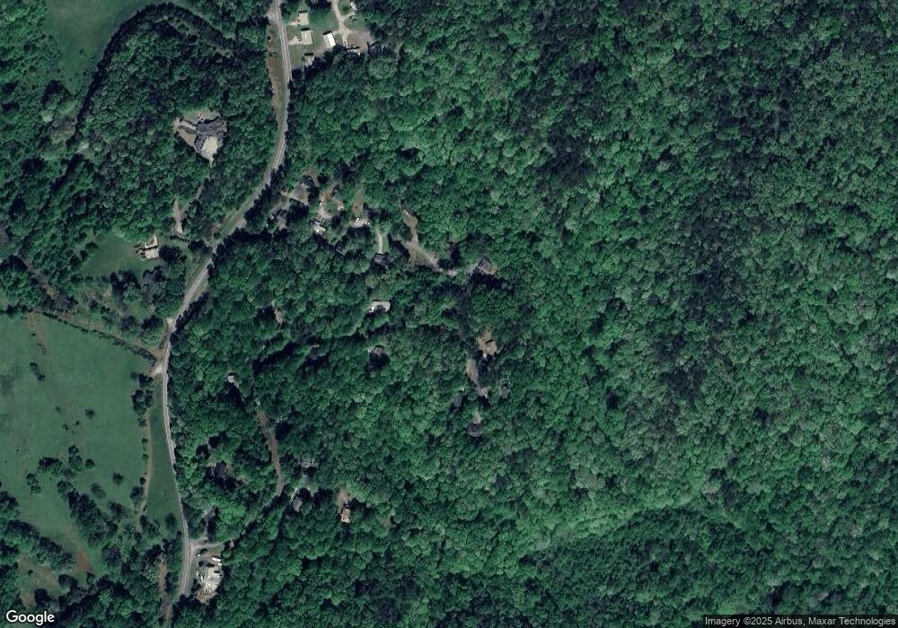
Map
Nearby Homes
- 1047 Nugget Ct
- 114 Funaro Ln
- 775 Crooked Creek Dr
- 0 Dawsonville Hwy Unit 10631159
- 00 Dawsonville Hwy
- 735 Calhoun Rd
- 1170 Calhoun Rd
- 99 Madeline Anthony Road Lots 44 and 45
- 99 Madeline Anthony Rd
- 0 Honey Tree Terrace Unit 10448792
- 0 Honey Tree Terrace Unit 7516071
- 1415 Calhoun Rd
- 567 Crown Mountain Way
- LOT 13 Crown Mountain Way
- Lot 28 Crown Mountain Way
- Lot 30 Crown Mountain Way
- 3149 Auraria Rd
- Lot 20 Crown Mountain Way
- 0 Crown Mountain Way Unit 7666031
- 0 Crown Mountain Unit 7682225