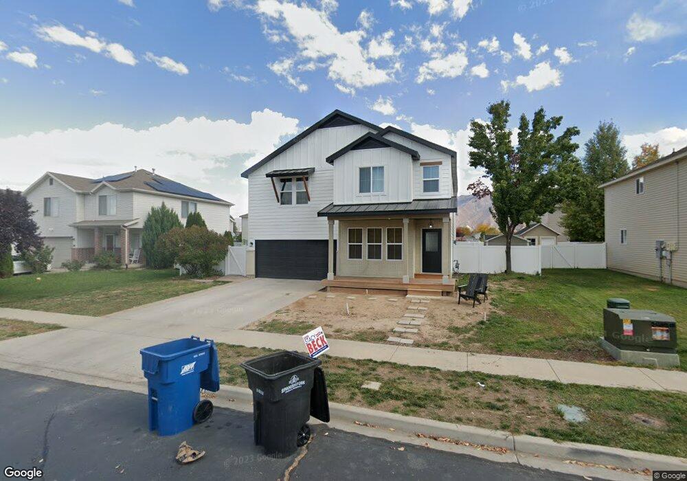
271 S 750 W Spanish Fork, UT 84660
Estimated Value: $456,000 - $511,000
4
Beds
3
Baths
2,054
Sq Ft
$236/Sq Ft
Est. Value
About This Home
This home is located at 271 S 750 W, Spanish Fork, UT 84660 and is currently estimated at $484,993, approximately $236 per square foot. 271 S 750 W is a home located in Utah County with nearby schools including Riverview Elementary School, Spanish Fork Jr High School, and Spanish Fork High School.
Ownership History
Date
Name
Owned For
Owner Type
Purchase Details
Closed on
Dec 16, 2008
Sold by
Bennett Gregory R and Bennett Adria L
Bought by
Bennett Gregory and Bennett Adria
Current Estimated Value
Home Financials for this Owner
Home Financials are based on the most recent Mortgage that was taken out on this home.
Original Mortgage
$184,680
Outstanding Balance
$122,206
Interest Rate
6.16%
Mortgage Type
FHA
Estimated Equity
$362,787
Purchase Details
Closed on
Feb 23, 2006
Sold by
Bennett Gregory R and Bennett Adria L
Bought by
Bennett Gregory R and Bennett Adria L
Purchase Details
Closed on
Nov 21, 2005
Sold by
Fieldstone Homes Utah Llc
Bought by
Bennett Gregory R and Bennett Adria L
Home Financials for this Owner
Home Financials are based on the most recent Mortgage that was taken out on this home.
Original Mortgage
$29,250
Interest Rate
5.62%
Mortgage Type
Stand Alone Second
Create a Home Valuation Report for This Property
The Home Valuation Report is an in-depth analysis detailing your home's value as well as a comparison with similar homes in the area
Home Values in the Area
Average Home Value in this Area
Purchase History
| Date | Buyer | Sale Price | Title Company |
|---|---|---|---|
| Bennett Gregory | -- | Backman Fptp | |
| Bennett Gregory R | -- | Bartlett Title Insurance Ag | |
| Bennett Gregory R | -- | Bartlett Title Insurance Ag |
Source: Public Records
Mortgage History
| Date | Status | Borrower | Loan Amount |
|---|---|---|---|
| Open | Bennett Gregory | $184,680 | |
| Closed | Bennett Gregory R | $29,250 | |
| Closed | Bennett Gregory R | $117,000 |
Source: Public Records
Tax History Compared to Growth
Tax History
| Year | Tax Paid | Tax Assessment Tax Assessment Total Assessment is a certain percentage of the fair market value that is determined by local assessors to be the total taxable value of land and additions on the property. | Land | Improvement |
|---|---|---|---|---|
| 2025 | $2,308 | $248,600 | $165,100 | $286,900 |
| 2024 | $2,308 | $237,875 | $0 | $0 |
| 2023 | $2,042 | $210,760 | $0 | $0 |
| 2022 | $2,085 | $211,035 | $0 | $0 |
| 2021 | $1,741 | $281,900 | $98,600 | $183,300 |
| 2020 | $1,658 | $260,900 | $89,600 | $171,300 |
| 2019 | $1,468 | $243,100 | $81,700 | $161,400 |
| 2018 | $1,364 | $218,400 | $75,200 | $143,200 |
| 2017 | $1,269 | $109,175 | $0 | $0 |
| 2016 | $1,191 | $101,145 | $0 | $0 |
| 2015 | $1,080 | $90,585 | $0 | $0 |
| 2014 | $1,043 | $87,835 | $0 | $0 |
Source: Public Records
Map
Nearby Homes
- 231 S 880 W
- 2645 W 360 S Unit 1
- 2576 W 360 S Unit 5
- 501 S 880 W
- 1026 W 350 S
- 13 N 710 W
- 1040 W Center St
- 88 S 400 W
- 333 S 1170 W
- 956 W 40 N
- 351 W 530 S
- 226 N 860 W Unit 156
- 833 W 250 N
- 1788 N 630 St W Unit 47
- 1826 N 630 St W Unit 101
- 225 W 300 S
- 429 S 1280 W
- 1841 N 630 St W Unit 71
- 1076 River Hill Dr
- 1299 W 250 S