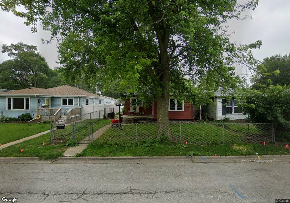
271 S Euclid Ave Bradley, IL 60915
Estimated Value: $145,000 - $170,000
3
Beds
2
Baths
1,048
Sq Ft
$147/Sq Ft
Est. Value
About This Home
This home is located at 271 S Euclid Ave, Bradley, IL 60915 and is currently estimated at $154,136, approximately $147 per square foot. 271 S Euclid Ave is a home located in Kankakee County with nearby schools including Bradley East Elementary School, Bradley West Elementary School, and Bradley Central Middle School.
Ownership History
Date
Name
Owned For
Owner Type
Purchase Details
Closed on
Nov 17, 2020
Sold by
Rock Katrina M
Bought by
Gilbert Raymond
Current Estimated Value
Home Financials for this Owner
Home Financials are based on the most recent Mortgage that was taken out on this home.
Original Mortgage
$108,007
Outstanding Balance
$96,024
Interest Rate
2.75%
Mortgage Type
FHA
Estimated Equity
$58,112
Purchase Details
Closed on
Mar 20, 2012
Sold by
Zeedyk Eric P and Zeedyk Amanda M
Bought by
Rock Katrina M
Create a Home Valuation Report for This Property
The Home Valuation Report is an in-depth analysis detailing your home's value as well as a comparison with similar homes in the area
Home Values in the Area
Average Home Value in this Area
Purchase History
| Date | Buyer | Sale Price | Title Company |
|---|---|---|---|
| Gilbert Raymond | $110,000 | Standard Title | |
| Rock Katrina M | $60,333 | Kankakee Cnty Title & Tr |
Source: Public Records
Mortgage History
| Date | Status | Borrower | Loan Amount |
|---|---|---|---|
| Open | Gilbert Raymond | $108,007 |
Source: Public Records
Tax History Compared to Growth
Tax History
| Year | Tax Paid | Tax Assessment Tax Assessment Total Assessment is a certain percentage of the fair market value that is determined by local assessors to be the total taxable value of land and additions on the property. | Land | Improvement |
|---|---|---|---|---|
| 2024 | $3,422 | $45,160 | $2,187 | $42,973 |
| 2023 | $2,925 | $38,228 | $2,025 | $36,203 |
| 2022 | $2,855 | $36,162 | $1,952 | $34,210 |
| 2021 | $2,711 | $34,392 | $1,909 | $32,483 |
| 2020 | $2,575 | $33,472 | $1,858 | $31,614 |
| 2019 | $2,519 | $31,603 | $1,804 | $29,799 |
| 2018 | $2,384 | $30,281 | $1,777 | $28,504 |
| 2017 | $2,368 | $29,543 | $1,734 | $27,809 |
| 2016 | $2,312 | $29,106 | $1,708 | $27,398 |
| 2015 | $2,292 | $28,818 | $1,691 | $27,127 |
| 2014 | $2,076 | $27,227 | $1,691 | $25,536 |
| 2013 | -- | $27,675 | $1,691 | $25,984 |
Source: Public Records
Map
Nearby Homes
- 154 S Fulton Ave
- 110 W Broadway St
- 166 S Clinton Ave
- 236 N Michigan Ave
- 195 N Michigan Ave
- 335 S Wabash Ave
- 458 W Broadway St
- 233 S Randolph Ave
- 196 S Grand Ave
- 424 S Grand Ave
- Lot 5 W Broadway St
- 384 N Grand Ave
- 383 S Center Ave
- 435 S Center Ave
- 505 W Brookmont Blvd
- 372 N Center Ave
- 555 W Brookmont Blvd
- 547 Hemlock Ln
- 311 S Cleveland Ave
- S N Schuyler Ave
- 277 S Euclid Ave
- 265 S Euclid Ave
- 283 S Euclid Ave
- 259 S Euclid Ave
- 289 S Euclid Ave
- 265 S Dearborn Ave
- 253 S Dearborn Ave
- 247 S Euclid Ave
- 295 S Euclid Ave
- 270 S Euclid Ave
- 247 S Dearborn Ave
- 266 S Euclid Ave
- 278 S Euclid Ave
- 295 S Dearborn Ave
- 284 S Euclid Ave
- 285 S Dearborn Ave
- 260 S Euclid Ave
- 235 S Euclid Ave
- 277 S Dearborn Ave
- 296 S Dearborn Ave