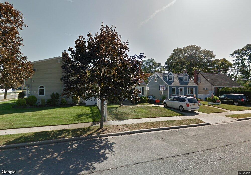
271 Semton Blvd Franklin Square, NY 11010
Estimated Value: $504,000 - $677,646
3
Beds
1
Bath
1,400
Sq Ft
$422/Sq Ft
Est. Value
About This Home
This home is located at 271 Semton Blvd, Franklin Square, NY 11010 and is currently estimated at $590,823, approximately $422 per square foot. 271 Semton Blvd is a home located in Nassau County with nearby schools including Hebrew Academy of Nassau County (HANC).
Ownership History
Date
Name
Owned For
Owner Type
Purchase Details
Closed on
Nov 18, 2021
Sold by
Tuccillo Paul
Bought by
Paul Tuccillo Trust and Gaetana Marie Tuccillo Trust
Current Estimated Value
Purchase Details
Closed on
Sep 24, 2015
Sold by
Rapp Gloria and Mitola Keith
Bought by
Tuccillo Paul
Purchase Details
Closed on
Dec 15, 2006
Sold by
Vittiglio Rose
Bought by
Rapp Gloria
Purchase Details
Closed on
Sep 27, 2004
Sold by
Regan Constance A
Create a Home Valuation Report for This Property
The Home Valuation Report is an in-depth analysis detailing your home's value as well as a comparison with similar homes in the area
Home Values in the Area
Average Home Value in this Area
Purchase History
| Date | Buyer | Sale Price | Title Company |
|---|---|---|---|
| Paul Tuccillo Trust | -- | None Available | |
| Tuccillo Paul | $290,000 | Sutton Land Title Agency | |
| Rapp Gloria | $412,000 | -- | |
| -- | $380,000 | -- |
Source: Public Records
Tax History Compared to Growth
Tax History
| Year | Tax Paid | Tax Assessment Tax Assessment Total Assessment is a certain percentage of the fair market value that is determined by local assessors to be the total taxable value of land and additions on the property. | Land | Improvement |
|---|---|---|---|---|
| 2025 | $9,432 | $429 | $240 | $189 |
| 2024 | $3,980 | $429 | $240 | $189 |
| 2023 | $10,273 | $429 | $240 | $189 |
| 2022 | $10,273 | $429 | $240 | $189 |
| 2021 | $13,744 | $422 | $236 | $186 |
| 2020 | $11,504 | $754 | $504 | $250 |
| 2019 | $11,981 | $712 | $454 | $258 |
| 2018 | $10,566 | $712 | $0 | $0 |
| 2017 | $4,888 | $712 | $454 | $258 |
| 2016 | $8,509 | $712 | $454 | $258 |
| 2015 | $3,384 | $712 | $454 | $258 |
| 2014 | $3,384 | $712 | $454 | $258 |
| 2013 | $3,163 | $712 | $454 | $258 |
Source: Public Records
Map
Nearby Homes
- 279 Semton Blvd
- 231 Dogwood Ave
- 198 Guildford Ct
- 249 Grange St
- 576 Western Park Dr
- 19 Richard St
- 594 Fenworth Blvd
- 350 Paul Place
- 149 Rule St
- 303 Nassau Blvd
- 190 Commonwealth St
- 144 Rintin St
- 56 Fendale St
- 474 Roy St
- 757 Marion St
- 676 Sobo Ave
- 126 Oakland Ave
- 537 Madison Ave
- 31 Claflin Blvd
- 791 Caryl St
- 275 Semton Blvd
- 675 Naple Ave
- 659 Naple Ave
- 676 Naple Ave
- 280 Semton Blvd
- 666 Naple Ave
- 284 Semton Blvd Unit Lower level
- 284 Semton Blvd
- 255 Semton Blvd
- 271 Dogwood Ave
- 271 Dogwood Ave
- 662 Naple Ave
- 288 Semton Blvd
- 264 Semton Blvd
- 261 Dogwood Ave
- 255 Dogwood Ave
- 689 Naple Ave
- 249 Dogwood Ave
- 292 Semton Blvd
- 236 Dogwood Ave