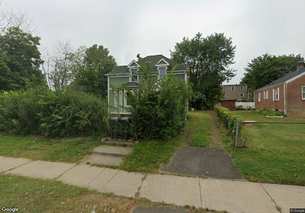
271 Silas Deane Hwy Wethersfield, CT 06109
Estimated Value: $245,000 - $329,000
4
Beds
1
Bath
1,138
Sq Ft
$251/Sq Ft
Est. Value
About This Home
This home is located at 271 Silas Deane Hwy, Wethersfield, CT 06109 and is currently estimated at $286,038, approximately $251 per square foot. 271 Silas Deane Hwy is a home located in Hartford County with nearby schools including Woodcrest Elementary School, Charles Wright School, and Silas Deane Middle School.
Ownership History
Date
Name
Owned For
Owner Type
Purchase Details
Closed on
Dec 1, 2022
Sold by
Schoenborn and Schoenborn Prp
Bought by
Ss Home Llc
Current Estimated Value
Purchase Details
Closed on
Oct 31, 2003
Sold by
Klupko Nicholas J and Caso Ann K
Bought by
Schoenbord Schoenbord and Schoenbord Propert S
Create a Home Valuation Report for This Property
The Home Valuation Report is an in-depth analysis detailing your home's value as well as a comparison with similar homes in the area
Home Values in the Area
Average Home Value in this Area
Purchase History
| Date | Buyer | Sale Price | Title Company |
|---|---|---|---|
| Ss Home Llc | -- | None Available | |
| Schoenbord Schoenbord | $106,000 | -- |
Source: Public Records
Tax History Compared to Growth
Tax History
| Year | Tax Paid | Tax Assessment Tax Assessment Total Assessment is a certain percentage of the fair market value that is determined by local assessors to be the total taxable value of land and additions on the property. | Land | Improvement |
|---|---|---|---|---|
| 2025 | $5,087 | $123,420 | $56,000 | $67,420 |
| 2024 | $4,147 | $95,950 | $48,070 | $47,880 |
| 2023 | $4,009 | $95,950 | $48,070 | $47,880 |
| 2022 | $3,942 | $95,950 | $48,070 | $47,880 |
| 2021 | $3,902 | $95,950 | $48,070 | $47,880 |
| 2020 | $3,904 | $95,950 | $48,070 | $47,880 |
| 2019 | $3,909 | $95,950 | $48,070 | $47,880 |
| 2018 | $4,947 | $121,300 | $47,400 | $73,900 |
| 2017 | $4,824 | $121,300 | $47,400 | $73,900 |
| 2016 | $4,675 | $121,300 | $47,400 | $73,900 |
| 2015 | $4,632 | $121,300 | $47,400 | $73,900 |
| 2014 | $4,457 | $121,300 | $47,400 | $73,900 |
Source: Public Records
Map
Nearby Homes
- 277 Silas Deane Hwy
- 265 Silas Deane Hwy
- 76 Wright Rd
- 82 Wright Rd
- 70 Wright Rd
- 281 Silas Deane Hwy
- 283 Silas Deane Hwy
- 86 Wright Rd
- 00 Oxford St
- 266 Silas Deane Hwy
- 282 Silas Deane Hwy Unit 284
- 274 Silas Deane Hwy
- 287 Silas Deane Hwy
- 62 Wright Rd
- 58 Wright Rd
- 79 Wright Rd
- 75 Wright Rd
- 83 Wright Rd
- 239 Silas Deane Hwy
- 71 Wright Rd