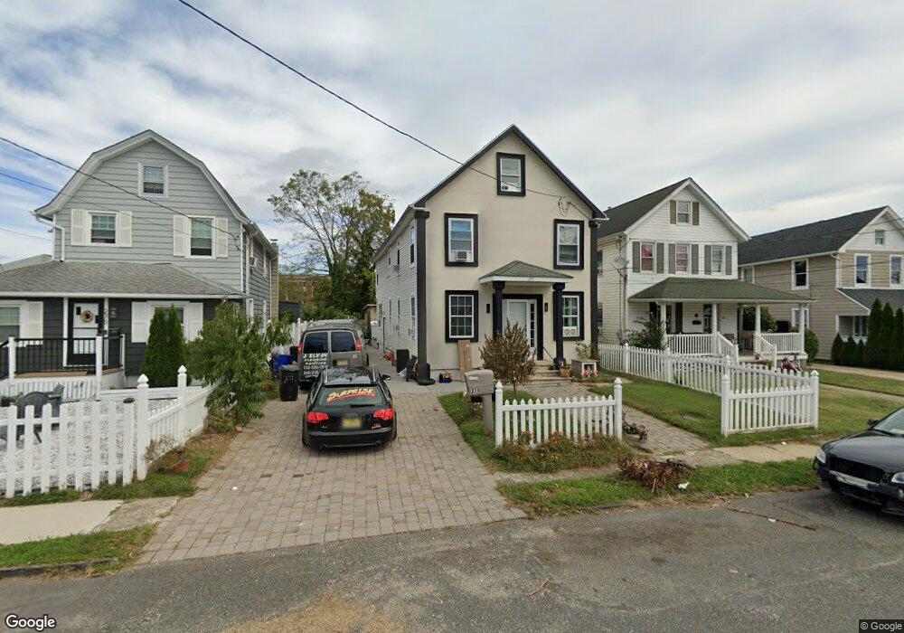
271 W End Ave Long Branch, NJ 07740
Estimated Value: $695,000 - $1,119,000
--
Bed
3
Baths
2,156
Sq Ft
$401/Sq Ft
Est. Value
About This Home
This home is located at 271 W End Ave, Long Branch, NJ 07740 and is currently estimated at $863,498, approximately $400 per square foot. 271 W End Ave is a home located in Monmouth County with nearby schools including Long Branch High School, Holy Trinity School, and Bet Yaakov of the Jersey Shore.
Ownership History
Date
Name
Owned For
Owner Type
Purchase Details
Closed on
Oct 9, 2003
Sold by
Moreno Fredy
Bought by
Jacobsen Shirley
Current Estimated Value
Home Financials for this Owner
Home Financials are based on the most recent Mortgage that was taken out on this home.
Original Mortgage
$220,000
Interest Rate
5.98%
Purchase Details
Closed on
May 9, 1997
Sold by
Sullivan Robert
Bought by
Moreno Fredy
Home Financials for this Owner
Home Financials are based on the most recent Mortgage that was taken out on this home.
Original Mortgage
$80,000
Interest Rate
8.09%
Purchase Details
Closed on
Oct 29, 1993
Sold by
First Fed S L Asso Of Rocheste
Bought by
D'Souza Errol
Home Financials for this Owner
Home Financials are based on the most recent Mortgage that was taken out on this home.
Original Mortgage
$72,000
Interest Rate
6.83%
Create a Home Valuation Report for This Property
The Home Valuation Report is an in-depth analysis detailing your home's value as well as a comparison with similar homes in the area
Home Values in the Area
Average Home Value in this Area
Purchase History
| Date | Buyer | Sale Price | Title Company |
|---|---|---|---|
| Jacobsen Shirley | $340,000 | -- | |
| Moreno Fredy | $100,000 | -- | |
| D'Souza Errol | $80,000 | -- |
Source: Public Records
Mortgage History
| Date | Status | Borrower | Loan Amount |
|---|---|---|---|
| Previous Owner | Jacobsen Shirley | $220,000 | |
| Previous Owner | Moreno Fredy | $80,000 | |
| Previous Owner | D'Souza Errol | $72,000 |
Source: Public Records
Tax History Compared to Growth
Tax History
| Year | Tax Paid | Tax Assessment Tax Assessment Total Assessment is a certain percentage of the fair market value that is determined by local assessors to be the total taxable value of land and additions on the property. | Land | Improvement |
|---|---|---|---|---|
| 2025 | $7,949 | $588,000 | $224,600 | $363,400 |
| 2024 | $7,631 | $517,200 | $169,600 | $347,600 |
| 2023 | $7,631 | $491,400 | $159,600 | $331,800 |
| 2022 | $7,654 | $409,500 | $117,200 | $292,300 |
| 2021 | $7,654 | $382,500 | $109,200 | $273,300 |
| 2020 | $7,710 | $368,900 | $97,200 | $271,700 |
| 2019 | $7,447 | $354,300 | $95,200 | $259,100 |
| 2018 | $7,247 | $342,800 | $93,200 | $249,600 |
| 2017 | $6,906 | $335,100 | $90,200 | $244,900 |
| 2016 | $6,685 | $330,800 | $92,200 | $238,600 |
| 2015 | $7,968 | $357,800 | $92,600 | $265,200 |
| 2014 | $7,860 | $372,000 | $104,100 | $267,900 |
Source: Public Records
Map
Nearby Homes
- 279 W West End Ave
- 23 Woolley Ave
- 294 Brighton Ave
- 345 Hollywood Ave
- 434 Westwood Ave
- 552 Westwood Ave
- 512 Sairs Ave
- 388 Brookdale Ave
- 377 Westwood Ave
- 369 Indiana Ave
- 631 Hoey Ave
- 119 Avery Ave Unit H21
- 107 W End Ave
- 266 Lenox Ave
- 364 Westwood Ave Unit 39
- 364 Westwood Ave Unit 71
- 364 Westwood Ave Unit 21
- 440 W End Ave
- 211 Cedar Ave
- 570 Monmouth Place